Industries
Business Distribution by Industry in Dadna
| Industry Description | Number of Establishments |
|---|---|
| Restaurants | 16 |
| Grocery stores and supermarkets | 13 |
Dadna Facts
| Neighborhoods | Rul Dhadna |
| Local Time | |
| Timezone | Gulf Standard Time |
| Lat & Lng | 25.52422, 56.35868 |
Map of Dadna
Interactive Map
Recent Nearby Earthquakes
Magnitude 3.0 and greater
| Date▼ | Time↕ | Magnitude↕ | Distance↕ | Depth↕ | Location↕ | Link |
|---|---|---|---|---|---|---|
| 10/21/12 | 4:13 PM | 4.5 | 50.6 km | 25,100 m | Oman - United Arab Emirates region | usgs.gov |
| 6/8/09 | 6:13 PM | 3.8 | 27.7 km | 10,000 m | Oman - United Arab Emirates region | usgs.gov |
| 5/10/09 | 1:07 AM | 4.4 | 70.5 km | 34,500 m | near the coast of southeastern Iran | usgs.gov |
| 5/7/09 | 10:44 PM | 5 | 67.7 km | 38,600 m | near the coast of southeastern Iran | usgs.gov |
| 2/12/08 | 12:02 PM | 4 | 34.1 km | 10,000 m | Oman - United Arab Emirates region | usgs.gov |
| 2/2/08 | 9:25 PM | 3.8 | 45.4 km | 10,000 m | Oman - United Arab Emirates region | usgs.gov |
| 9/13/07 | 3:47 PM | 4.7 | 17.5 km | 14,100 m | Oman - United Arab Emirates region | usgs.gov |
| 3/10/07 | 6:15 PM | 4.2 | 44.1 km | 10,000 m | Oman - United Arab Emirates region | usgs.gov |
| 3/11/02 | 8:06 PM | 5 | 38.5 km | 10,000 m | Oman - United Arab Emirates region | usgs.gov |
| 1/9/02 | 2:02 PM | 4.3 | 82 km | 10,000 m | near the coast of Oman | usgs.gov |
Source: U.S. Geological Survey (USGS)
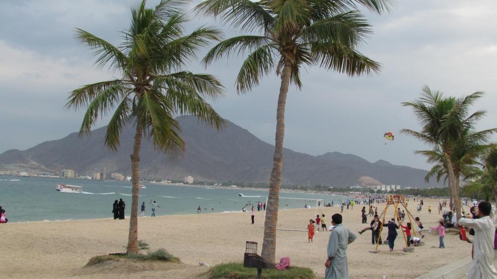
Dadna
Dadna (Arabic: ضدنا) is a village in Fujairah, United Arab Emirates, located 45 kilometres (28 mi) north of the city centre. The area's economy has depended since ancient times on agriculture and fishing, in which much of the population works today. ..
Dadna Wikipedia Page

About Our Data
The data on this page is estimated using a number of publicly available tools and resources. It is provided without warranty, and could contain inaccuracies. Use at your own risk.