Dhaid Facts
| Area | 33.3 km² |
| Population | 21,929 |
| Male Population | 14,344 (65.4%) |
| Female Population | 7,585 (34.6%) |
| Population change (1975 to 2020) | +16143.7% |
| Population change (2000 to 2020) | +162.1% |
| Median Age | 29.2 years (Male: 31.1, Female: 24.7) |
| GDP per capita (PPP) | $40,034 (2022) |
| Area Codes | 6 |
| Neighborhoods | Al Tayebah, Umm Hurair 2 |
| Local Time | |
| Timezone | Gulf Standard Time |
| Lat & Lng | 25.28812, 55.88157 |
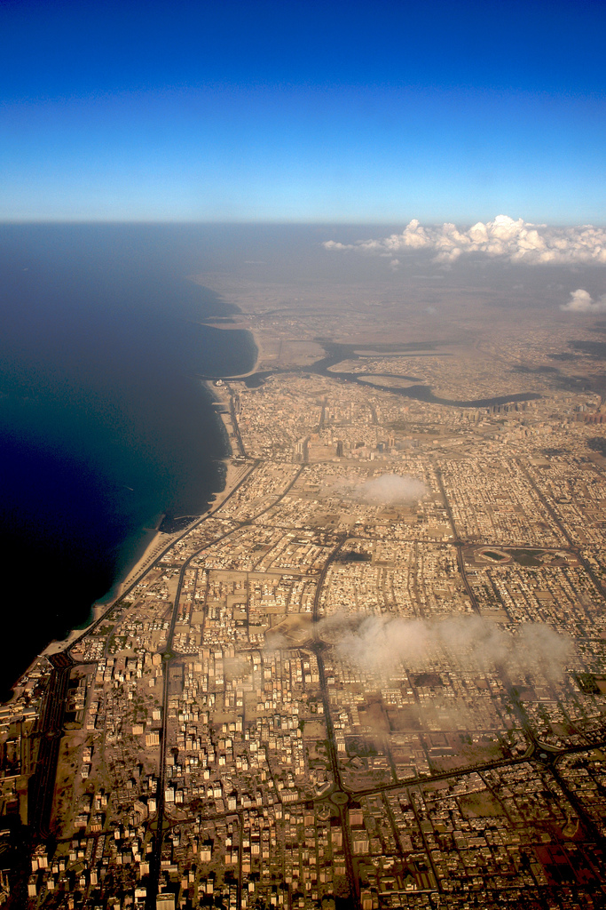
Map of Dhaid
Interactive Map
Dhaid Population
Years 1975 to 2030
| Data | 1975 | 1990 | 2000 | 2015 | 2020 | 2025* | 2030* |
|---|---|---|---|---|---|---|---|
| Population | 135 | 1,366 | 8,368 | 32,544 | 21,929 | 23,855 | 24,629 |
| Population Density | 4.1 / km² | 41 / km² | 251.2 / km² | 976.9 / km² | 658.3 / km² | 716.1 / km² | 739.3 / km² |
Dhaid Population change from 2000 to 2020
Increase of 162.1% from year 2000 to 2020
| Location | Change since 1975 | Change since 1990 | Change since 2000 |
|---|---|---|---|
| Dhaid | +16143.7% | +1505.3% | +162.1% |
| Emirate of Sharjah | — | — | — |
| United Arab Emirates | — | — | — |
Dhaid Median Age
Median Age: 29.2 years
| Location | Median Age | Median Age (Female) | Median Age (Male) |
|---|---|---|---|
| Dhaid | 29.2 yrs | 24.7 yrs | 31.1 yrs |
| Emirate of Sharjah | 29.2 yrs | 24.7 yrs | 31.1 yrs |
| United Arab Emirates | 29.4 yrs | 24.7 yrs | 31.1 yrs |
Dhaid Population Density
Population Density: 658 / km²
| Location | Population | Area | Density |
|---|---|---|---|
| Dhaid | 21,929 | 33.3 km² | 658 / km² |
| Emirate of Sharjah | 2 million | 2,637.1 km² | 776 / km² |
| United Arab Emirates | 9.1 million | 72,569.7 km² | 125 / km² |
Dhaid Historical and Projected Population
Estimated Population from 1975 to 2100
- JRC (European Commission's Joint Research Centre) work on the GHS built-up grid
- CIESIN (Center for International Earth Science Information Network)
- [Link] Klein Goldewijk, K., Beusen, A., Doelman, J., and Stehfest, E.: Anthropogenic land use estimates for the Holocene – HYDE 3.2, Earth Syst. Sci. Data, 9, 927–953, https://doi.org/10.5194/essd-9-927-2017, 2017.
Price Distribution
Business distribution by price for Dhaid
Human Development Index (HDI)
Statistic composite index of life expectancy, education, and per capita income.
Dhaid Gross Domestic Product (GDP)
GDP per capita, PPP (constant 2017 international $)
| Data | 1990 | 1995 | 2000 | 2005 | 2010 | 2015 | 2020 | 2022 |
|---|---|---|---|---|---|---|---|---|
| GDP per capita | $48,756 | $59,618 | $36,928 | $53,950 | $14,522 | $28,683 | $36,888 | $40,034 |
| Total GDP | $142.4M | $279.2M | $293.5M | $583.7M | $321.3M | $666.6M | $857.7M | $955.2M |
Dhaid CO2 Emissions
Carbon Dioxide (CO2) Emissions Per Capita in Tonnes Per Year
| Location | CO2 Emissions | CO2 Emissions Per Capita | CO2 Emissions Intensity |
|---|---|---|---|
| Dhaid | 438,480 tn | 20 tn | 13,162.6 tons/km² |
| Emirate of Sharjah | 40,844,621 tn | 19.95 tn | 15,488.3 tons/km² |
| United Arab Emirates | 206,230,902 tn | 22.78 tn | 2,841.8 tons/km² |
| 2013 CO2 emissions (tonnes/year) | 438,480 tn |
| 2013 CO2 emissions (tonnes/year) per capita | 20 tn |
| 2013 CO2 emissions intensity (tonnes/km²/year) | 13,162.6 tons/km² |
Natural Hazards Risk
Relative risk out of 10
| Hazard | Risk Level |
|---|---|
| Drought | High (10) |
| Earthquake | High (8) |
* Risk, particularly concerning flood or landslide, may not be for the entire area.
- Dilley, M., R.S. Chen, U. Deichmann, A.L. Lerner-Lam, M. Arnold, J. Agwe, P. Buys, O. Kjekstad, B. Lyon, and G. Yetman. 2005. Natural Disaster Hotspots: A Global Risk Analysis. Washington, D.C.: World Bank. https://doi.org/10.1596/0-8213-5930-4.
- Center for Hazards and Risk Research - CHRR - Columbia University, Center for International Earth Science Information Network - CIESIN - Columbia University, and International Research Institute for Climate and Society - IRI - Columbia University. 2005. Global Drought Hazard Frequency and Distribution. Palisades, NY: NASA Socioeconomic Data and Applications Center (SEDAC). https://doi.org/10.7927/H4VX0DFT.
- Center for Hazards and Risk Research - CHRR - Columbia University, Center for International Earth Science Information Network - CIESIN - Columbia University. 2005. Global Earthquake Hazard Distribution - Peak Ground Acceleration. Palisades, NY: NASA Socioeconomic Data and Applications Center (SEDAC). https://doi.org/10.7927/H4BZ63ZS.
Recent Nearby Earthquakes
Magnitude 3.0 and greater
| Date▼ | Time↕ | Magnitude↕ | Distance↕ | Depth↕ | Location↕ | Link |
|---|---|---|---|---|---|---|
| 10/21/12 | 4:13 PM | 4.5 | 32.2 km | 25,100 m | Oman - United Arab Emirates region | usgs.gov |
| 6/8/09 | 6:13 PM | 3.8 | 77.1 km | 10,000 m | Oman - United Arab Emirates region | usgs.gov |
| 2/12/08 | 12:02 PM | 4 | 29.4 km | 10,000 m | Oman - United Arab Emirates region | usgs.gov |
| 2/2/08 | 9:25 PM | 3.8 | 38.7 km | 10,000 m | Oman - United Arab Emirates region | usgs.gov |
| 9/13/07 | 3:47 PM | 4.7 | 37.3 km | 14,100 m | Oman - United Arab Emirates region | usgs.gov |
| 3/10/07 | 6:15 PM | 4.2 | 20.7 km | 10,000 m | Oman - United Arab Emirates region | usgs.gov |
| 3/11/02 | 8:06 PM | 5 | 27.2 km | 10,000 m | Oman - United Arab Emirates region | usgs.gov |
| 1/9/02 | 2:02 PM | 4.3 | 53 km | 10,000 m | near the coast of Oman | usgs.gov |
| 11/4/87 | 11:48 PM | 4.4 | 89.2 km | 33,000 m | Oman - United Arab Emirates region | usgs.gov |
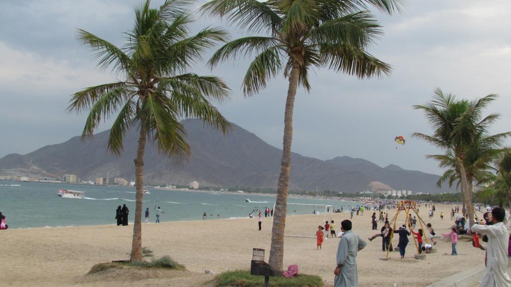
Dhaid
Dhaid, or Al Dhaid, is the capital of the central district of the Emirate of Sharjah in the United Arab Emirates. An oasis town, it has extensive irrigated date palm plantations with water channeled from the nearby Hajar mountains at least in part th..
Dhaid Wikipedia Page
About Our Data
The data on this page is estimated using a number of publicly available tools and resources. It is provided without warranty, and could contain inaccuracies. Use at your own risk.