Dalkhaki Facts
| Local Time | |
| Timezone | Afghanistan Time |
| Lat & Lng | 36.34727, 67.95457 |
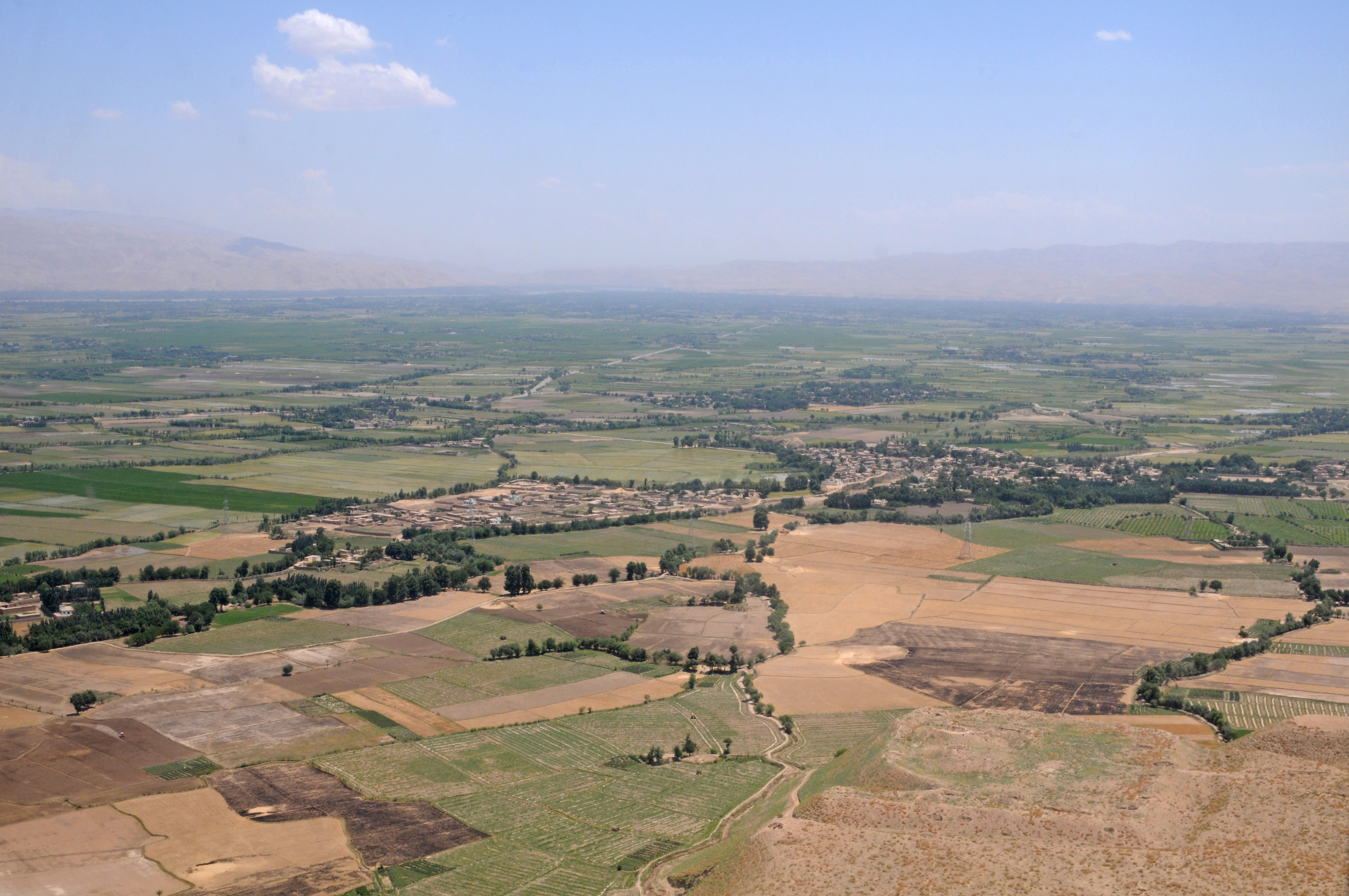
Map of Dalkhaki
Interactive Map
Recent Nearby Earthquakes
Magnitude 3.0 and greater
| Date▼ | Time↕ | Magnitude↕ | Distance↕ | Depth↕ | Location↕ | Link |
|---|---|---|---|---|---|---|
| 5/26/19 | 1:59 PM | 4.1 | 21.3 km | 33,470 m | 22km NE of Aibak, Afghanistan | usgs.gov |
| 5/4/19 | 5:53 AM | 4.6 | 31.1 km | 43,300 m | 28km ENE of Aibak, Afghanistan | usgs.gov |
| 11/25/18 | 6:28 AM | 4.4 | 66.1 km | 42,190 m | 17km N of Baghlan, Afghanistan | usgs.gov |
| 11/16/18 | 4:48 AM | 4.9 | 45.3 km | 12,510 m | 34km SW of Khulm, Afghanistan | usgs.gov |
| 10/6/18 | 1:11 PM | 4.1 | 67.1 km | 35,000 m | 23km N of Baghlan, Afghanistan | usgs.gov |
| 6/25/18 | 7:46 PM | 4.2 | 71.2 km | 23,850 m | 16km E of Mazar-e Sharif, Afghanistan | usgs.gov |
| 3/31/17 | 8:37 AM | 4 | 23.1 km | 46,540 m | 27km NNE of Aibak, Afghanistan | usgs.gov |
| 1/9/17 | 5:59 AM | 5.2 | 69.9 km | 25,830 m | 42km SSE of Shahrtuz, Tajikistan | usgs.gov |
| 1/7/17 | 11:19 PM | 4.9 | 73.7 km | 14,040 m | 43km WNW of Kunduz, Afghanistan | usgs.gov |
| 10/13/16 | 6:03 AM | 4.5 | 25.7 km | 18,030 m | 25km NE of Aibak, Afghanistan | usgs.gov |
Source: U.S. Geological Survey (USGS)
Dalkhaki
Dalkhaki is a village in Samangan Province, in northern Afghanistan.It lies 10 miles northwest of Aibak at an elevation of 3015 feet. The Tashkurgan River flows nearby, where it cuts an east-west ridge. It had a reported 120 families in the 1979 cens..
Dalkhaki Wikipedia Page

About Our Data
The data on this page is estimated using a number of publicly available tools and resources. It is provided without warranty, and could contain inaccuracies. Use at your own risk.