Khandud Facts
| Local Time | |
| Timezone | Afghanistan Time |
| Lat & Lng | 36.95127, 72.31800 |
Map of Khandud
Interactive Map
Recent Nearby Earthquakes
Magnitude 3.0 and greater
| Date▼ | Time↕ | Magnitude↕ | Distance↕ | Depth↕ | Location↕ | Link |
|---|---|---|---|---|---|---|
| 1/17/18 | 7:34 AM | 4 | 30.7 km | 166,140 m | 26km SE of Roshtqal'a, Tajikistan | usgs.gov |
| 11/14/17 | 3:01 AM | 4.4 | 32.1 km | 228,810 m | 32km N of Khandud, Afghanistan | usgs.gov |
| 3/26/17 | 4:17 AM | 4.2 | 36 km | 98,170 m | 27km E of Roshtqal'a, Tajikistan | usgs.gov |
| 4/9/14 | 11:00 PM | 4 | 29.9 km | 10,000 m | 29km ENE of Khandud, Afghanistan | usgs.gov |
| 8/29/11 | 8:28 AM | 4.2 | 15.2 km | 35,000 m | Hindu Kush region, Afghanistan | usgs.gov |
| 1/27/11 | 5:42 PM | 4.2 | 30.4 km | 183,000 m | Tajikistan | usgs.gov |
| 8/17/10 | 8:42 AM | 4.4 | 4 km | 52,500 m | Hindu Kush region, Afghanistan | usgs.gov |
| 1/20/09 | 6:37 PM | 4.7 | 29 km | 137,900 m | Tajikistan | usgs.gov |
| 12/6/08 | 12:59 PM | 4.7 | 17.3 km | 110,300 m | Tajikistan | usgs.gov |
| 12/4/08 | 2:30 AM | 4.2 | 33 km | 186,700 m | Tajikistan | usgs.gov |
Source: U.S. Geological Survey (USGS)
Khandud
Khandud (Khandut) is a village in Badakhshan Province in north-eastern Afghanistan. It is in Wakhan District, near the left bank of the Panj River. Khandud was the center of one of the four administrative districts of Wakhan District, which extended..
Khandud Wikipedia Page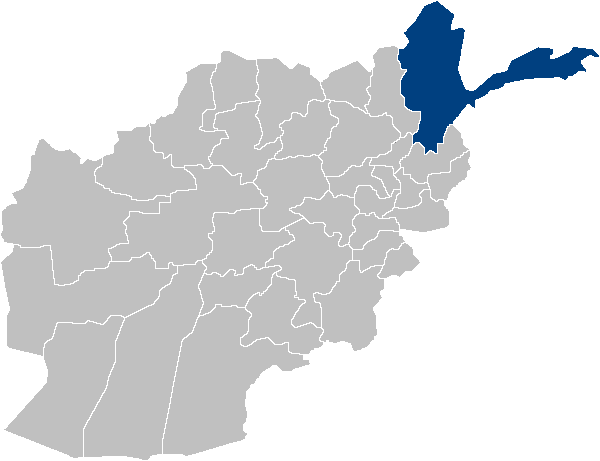
About Our Data
The data on this page is estimated using a number of publicly available tools and resources. It is provided without warranty, and could contain inaccuracies. Use at your own risk.