Miray Facts
| Local Time | |
| Timezone | Afghanistan Time |
| Lat & Lng | 33.32462, 68.44068 |
| Postal Codes | 2357 |
Map of Miray
Interactive Map
Recent Nearby Earthquakes
Magnitude 3.0 and greater
| Date▼ | Time↕ | Magnitude↕ | Distance↕ | Depth↕ | Location↕ | Link |
|---|---|---|---|---|---|---|
| 5/28/18 | 7:19 PM | 4.6 | 41 km | 39,960 m | 14km SW of Markaz-e Wuluswali-ye Yosuf Khel, Afghanistan | usgs.gov |
| 5/8/18 | 6:17 PM | 4.8 | 40.9 km | 39,500 m | 12km SW of Markaz-e Wuluswali-ye Yosuf Khel, Afghanistan | usgs.gov |
| 4/9/17 | 6:20 PM | 3.4 | 93.4 km | 10,000 m | 6km NW of Pul-e `Alam, Afghanistan | usgs.gov |
| 1/27/16 | 10:41 AM | 4.4 | 53.1 km | 25,240 m | 32km SSW of Baraki Barak, Afghanistan | usgs.gov |
| 3/20/15 | 8:24 AM | 4.2 | 98.3 km | 10,000 m | 22km NNE of Gardez, Afghanistan | usgs.gov |
| 8/13/13 | 1:43 AM | 4.5 | 30.1 km | 15,910 m | 44km SW of Ghazni, Afghanistan | usgs.gov |
| 11/24/11 | 8:38 PM | 4.3 | 81.5 km | 10,000 m | central Afghanistan | usgs.gov |
| 8/13/11 | 4:58 PM | 4.3 | 33.7 km | 35,000 m | central Afghanistan | usgs.gov |
| 5/27/10 | 1:30 AM | 4.4 | 99.6 km | 7,300 m | central Afghanistan | usgs.gov |
| 9/20/09 | 12:17 AM | 4.4 | 55.7 km | 10,000 m | central Afghanistan | usgs.gov |
Source: U.S. Geological Survey (USGS)
Miray
Miray (Miri) is the district center of Andar District, Ghazni Province, Afghanistan. It is located at 33.3272°N 68.4406°E / 33.3272; 68.4406 at 2,069 m altitude. has one High School, Sultan Shahabudden Ghori, and one small Hospital there, a small b..
Miray Wikipedia Page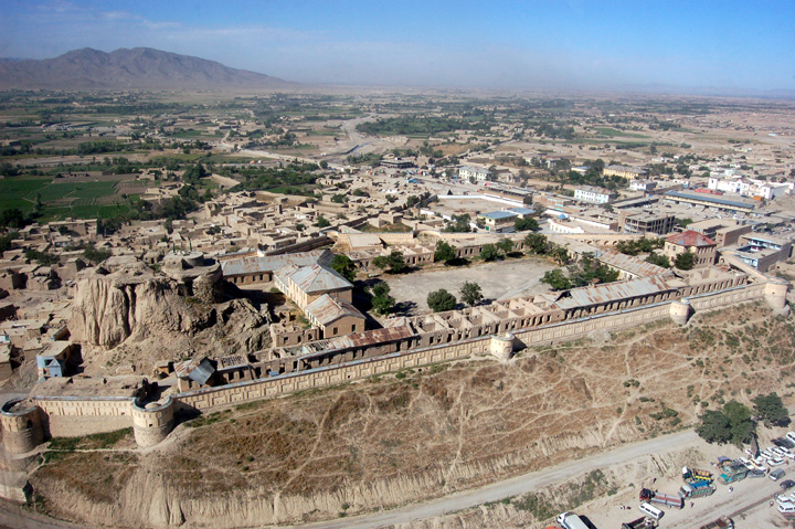

About Our Data
The data on this page is estimated using a number of publicly available tools and resources. It is provided without warranty, and could contain inaccuracies. Use at your own risk.