Rokowt Facts
| Local Time | |
| Timezone | Afghanistan Time |
| Lat & Lng | 36.99223, 73.25048 |
Map of Rokowt
Interactive Map
Recent Nearby Earthquakes
Magnitude 3.0 and greater
| Date▼ | Time↕ | Magnitude↕ | Distance↕ | Depth↕ | Location↕ | Link |
|---|---|---|---|---|---|---|
| 3/6/17 | 2:44 AM | 4.4 | 23.5 km | 90,320 m | 99km NNW of Gakuch, Pakistan | usgs.gov |
| 9/27/16 | 5:12 AM | 4.5 | 4.9 km | 73,900 m | 78km E of Khandud, Afghanistan | usgs.gov |
| 9/27/16 | 5:11 AM | 4.4 | 18.4 km | 52,750 m | 72km E of Khandud, Afghanistan | usgs.gov |
| 2/7/15 | 11:35 PM | 4.5 | 18.4 km | 49,290 m | 83km E of Khandud, Afghanistan | usgs.gov |
| 2/2/15 | 11:51 PM | 4.5 | 33.6 km | 62,200 m | 58km ESE of Khandud, Afghanistan | usgs.gov |
| 2/22/14 | 2:58 AM | 4.1 | 43.7 km | 79,160 m | 80km N of Gakuch, Pakistan | usgs.gov |
| 12/27/13 | 9:12 PM | 4.3 | 33.9 km | 53,490 m | 74km ESE of Khandud, Afghanistan | usgs.gov |
| 12/5/13 | 6:11 PM | 4.8 | 27.4 km | 35,000 m | 80km NW of Gakuch, Pakistan | usgs.gov |
| 8/21/13 | 8:58 PM | 4.4 | 39.8 km | 153,300 m | 52km ESE of Khandud, Afghanistan | usgs.gov |
| 6/21/13 | 8:51 PM | 4.8 | 15.7 km | 41,600 m | 79km E of Khandud, Afghanistan | usgs.gov |
Source: U.S. Geological Survey (USGS)
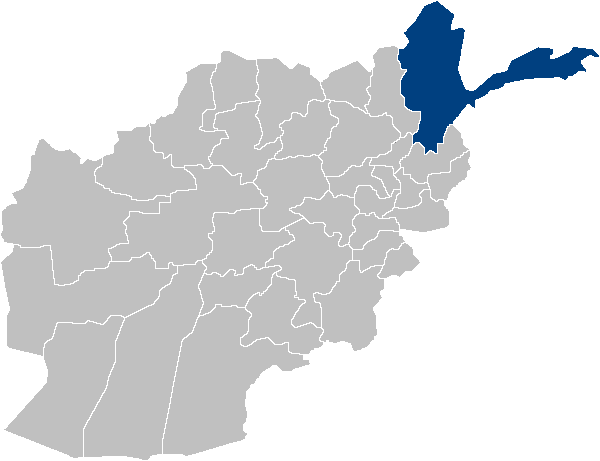
Rokowt
Rokowt is a village in the Wakhan, Badakhshan Province in north-eastern Afghanistan. It lies on the Wakhan River between Qila-e Panja and Sarhad-e Broghil.
Rokowt Wikipedia Page
About Our Data
The data on this page is estimated using a number of publicly available tools and resources. It is provided without warranty, and could contain inaccuracies. Use at your own risk.