Goranxi Facts
| Local Time | |
| Timezone | Central European Summer Time |
| Lat & Lng | 40.01694, 20.18917 |
Map of Goranxi
Interactive Map
Recent Nearby Earthquakes
Magnitude 3.0 and greater
| Date▼ | Time↕ | Magnitude↕ | Distance↕ | Depth↕ | Location↕ | Link |
|---|---|---|---|---|---|---|
| 5/25/19 | 10:35 PM | 4.2 | 21.7 km | 27,540 m | 11km WNW of Kefalovryson, Greece | usgs.gov |
| 11/1/18 | 12:39 AM | 4.1 | 12.5 km | 10,000 m | 12km S of Libohove, Albania | usgs.gov |
| 9/28/17 | 9:33 PM | 3.3 | 23.9 km | 10,600 m | 6km NW of Sarande, Albania | usgs.gov |
| 9/18/17 | 4:47 PM | 4.3 | 21.2 km | 15,740 m | 15km W of Gjirokaster, Albania | usgs.gov |
| 12/17/16 | 10:39 AM | 4.3 | 16.5 km | 10,000 m | 11km NW of Delvine, Albania | usgs.gov |
| 5/12/14 | 12:54 AM | 4.9 | 26.1 km | 10,000 m | 17km NNE of Konispol, Albania | usgs.gov |
| 9/17/09 | 10:53 PM | 4.4 | 17.2 km | 29,400 m | Albania | usgs.gov |
| 8/25/08 | 8:46 PM | 3.3 | 23 km | 16,000 m | Albania | usgs.gov |
| 5/11/08 | 3:21 PM | 3 | 18.9 km | 17,000 m | Albania | usgs.gov |
| 3/2/08 | 3:17 AM | 3.2 | 18.9 km | 22,000 m | Greece-Albania border region | usgs.gov |
Source: U.S. Geological Survey (USGS)
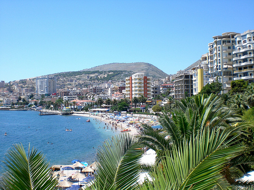
Goranxi
Goranxi (Greek: Γοραντζή, Gorantzi (or) Καλογοραντζή, Kalogorantzi) is a settlement in the former Dropull i Poshtëm municipality, Gjirokastër County, southern Albania. At the 2015 local government reform it became part of the municipality Dropull. It..
Goranxi Wikipedia Page


About Our Data
The data on this page is estimated using a number of publicly available tools and resources. It is provided without warranty, and could contain inaccuracies. Use at your own risk.