Kutë Facts
| Local Time | |
| Timezone | Central European Summer Time |
| Lat & Lng | 40.47333, 19.76639 |
| Postal Codes | 9329 |
Map of Kutë
Interactive Map
Recent Nearby Earthquakes
Magnitude 3.0 and greater
| Date▼ | Time↕ | Magnitude↕ | Distance↕ | Depth↕ | Location↕ | Link |
|---|---|---|---|---|---|---|
| 12/1/18 | 4:54 AM | 4.5 | 20.9 km | 10,000 m | 11km NNE of Memaliaj, Albania | usgs.gov |
| 6/13/18 | 1:50 AM | 4.4 | 19.8 km | 10,000 m | 14km E of Orikum, Albania | usgs.gov |
| 5/27/18 | 6:33 AM | 3.5 | 17 km | 10,730 m | 21km W of Memaliaj, Albania | usgs.gov |
| 5/19/18 | 6:14 PM | 4.9 | 17 km | 7,480 m | 17km W of Memaliaj, Albania | usgs.gov |
| 5/14/18 | 10:56 AM | 4.4 | 19.6 km | 10,000 m | 17km E of Orikum, Albania | usgs.gov |
| 2/5/17 | 12:13 AM | 4 | 21.7 km | 12,120 m | 1km NE of Patos Fshat, Albania | usgs.gov |
| 5/20/16 | 7:49 PM | 4.3 | 27 km | 13,900 m | 15km NNW of Himare, Albania | usgs.gov |
| 3/3/14 | 10:13 AM | 4 | 26.3 km | 3,000 m | 3km S of Roskovec, Albania | usgs.gov |
| 6/22/13 | 8:41 AM | 4.7 | 25.2 km | 13,400 m | 17km ESE of Orikum, Albania | usgs.gov |
| 2/14/11 | 9:17 AM | 4.1 | 21.2 km | 10,000 m | Albania | usgs.gov |
Source: U.S. Geological Survey (USGS)
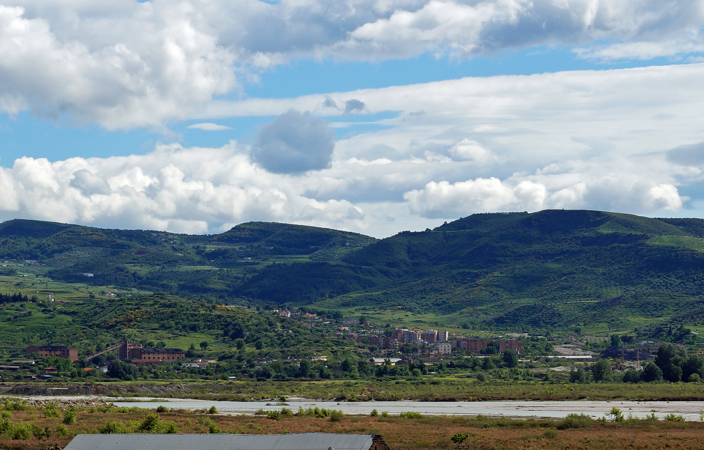
Kutë
Kutë is a village and a former municipality in the Fier County, southwestern Albania. At the 2015 local government reform it became a subdivision of the municipality Mallakastër. The population at the 2011 census was 1,977.
Kutë Wikipedia Page

About Our Data
The data on this page is estimated using a number of publicly available tools and resources. It is provided without warranty, and could contain inaccuracies. Use at your own risk.