Buzhakan Facts
| Local Time | |
| Timezone | Armenia Standard Time |
| Lat & Lng | 40.45294, 44.52105 |
| Postal Codes | 2405 |
Map of Buzhakan
Interactive Map
Recent Nearby Earthquakes
Magnitude 3.0 and greater
| Date▼ | Time↕ | Magnitude↕ | Distance↕ | Depth↕ | Location↕ | Link |
|---|---|---|---|---|---|---|
| 6/6/18 | 1:07 PM | 4.2 | 51.1 km | 10,000 m | 2km NE of Arevashogh, Armenia | usgs.gov |
| 7/21/16 | 3:17 PM | 4.2 | 95.7 km | 15,760 m | 11km NNE of Metsavan, Armenia | usgs.gov |
| 4/6/15 | 1:26 AM | 4.1 | 54.5 km | 10,000 m | 5km SW of Lanjaghbyur, Armenia | usgs.gov |
| 11/4/08 | 6:53 PM | 3.3 | 44.9 km | 5,000 m | Armenia | usgs.gov |
| 7/9/07 | 9:33 AM | 4.4 | 75.6 km | 15,000 m | Armenia | usgs.gov |
| 4/11/07 | 7:43 PM | 3.5 | 29.9 km | 5,000 m | Armenia | usgs.gov |
| 1/12/07 | 8:00 AM | 4.2 | 29.5 km | 5,000 m | Armenia | usgs.gov |
| 12/27/06 | 1:46 PM | 3.4 | 93.5 km | 12,000 m | Armenia | usgs.gov |
| 9/1/05 | 6:17 PM | 4.2 | 100 km | 15,000 m | Turkey-Iran border region | usgs.gov |
| 7/29/05 | 9:09 PM | 3.1 | 53.9 km | 5,000 m | Armenia | usgs.gov |
Source: U.S. Geological Survey (USGS)
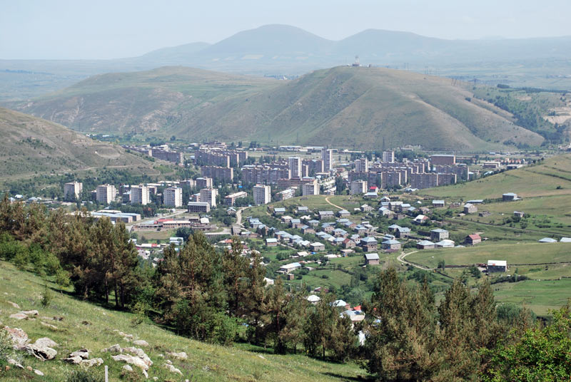
Buzhakan
Buzhakan (Armenian: Բուժական), also Romanized as Bujhakan; formerly, Babakishi), is a village in the Kotayk Province of Armenia. It is situated along the eastern foothills of the Tsaghkunyats mountain range, upon a fertile slope. Early settlers of th..
Buzhakan Wikipedia Page


About Our Data
The data on this page is estimated using a number of publicly available tools and resources. It is provided without warranty, and could contain inaccuracies. Use at your own risk.