Kanaker Facts
| Local Time | |
| Timezone | Armenia Standard Time |
| Lat & Lng | 40.22302, 44.53986 |
Map of Kanaker
Interactive Map
Recent Nearby Earthquakes
Magnitude 3.0 and greater
| Date▼ | Time↕ | Magnitude↕ | Distance↕ | Depth↕ | Location↕ | Link |
|---|---|---|---|---|---|---|
| 6/6/18 | 1:07 PM | 4.2 | 75.8 km | 10,000 m | 2km NE of Arevashogh, Armenia | usgs.gov |
| 4/6/15 | 1:26 AM | 4.1 | 47.4 km | 10,000 m | 5km SW of Lanjaghbyur, Armenia | usgs.gov |
| 8/19/12 | 11:08 PM | 4.3 | 95 km | 3,500 m | eastern Turkey | usgs.gov |
| 11/4/08 | 6:53 PM | 3.3 | 25.2 km | 5,000 m | Armenia | usgs.gov |
| 10/24/07 | 12:03 PM | 3.3 | 94.6 km | 8,600 m | eastern Turkey | usgs.gov |
| 7/9/07 | 9:33 AM | 4.4 | 99.8 km | 15,000 m | Armenia | usgs.gov |
| 4/11/07 | 7:43 PM | 3.5 | 12.2 km | 5,000 m | Armenia | usgs.gov |
| 1/12/07 | 8:00 AM | 4.2 | 15.8 km | 5,000 m | Armenia | usgs.gov |
| 5/9/06 | 12:44 AM | 4.1 | 92.2 km | 14,000 m | Turkey-Iran border region | usgs.gov |
| 9/1/05 | 6:17 PM | 4.2 | 74.4 km | 15,000 m | Turkey-Iran border region | usgs.gov |
Source: U.S. Geological Survey (USGS)
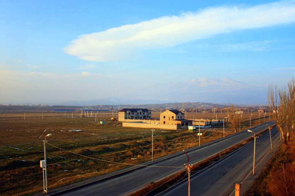
Kanaker
(Armenian: Քանաքեռ; also Romanized as K’anak’err, Kenaker, Kanaker, and Qanaqer) was a town in Armenia to the north-east of the capital Yerevan. With the urban development, the village was gradually absorbed by the capital Yerevan thus becoming par..
Kanaker Wikipedia Page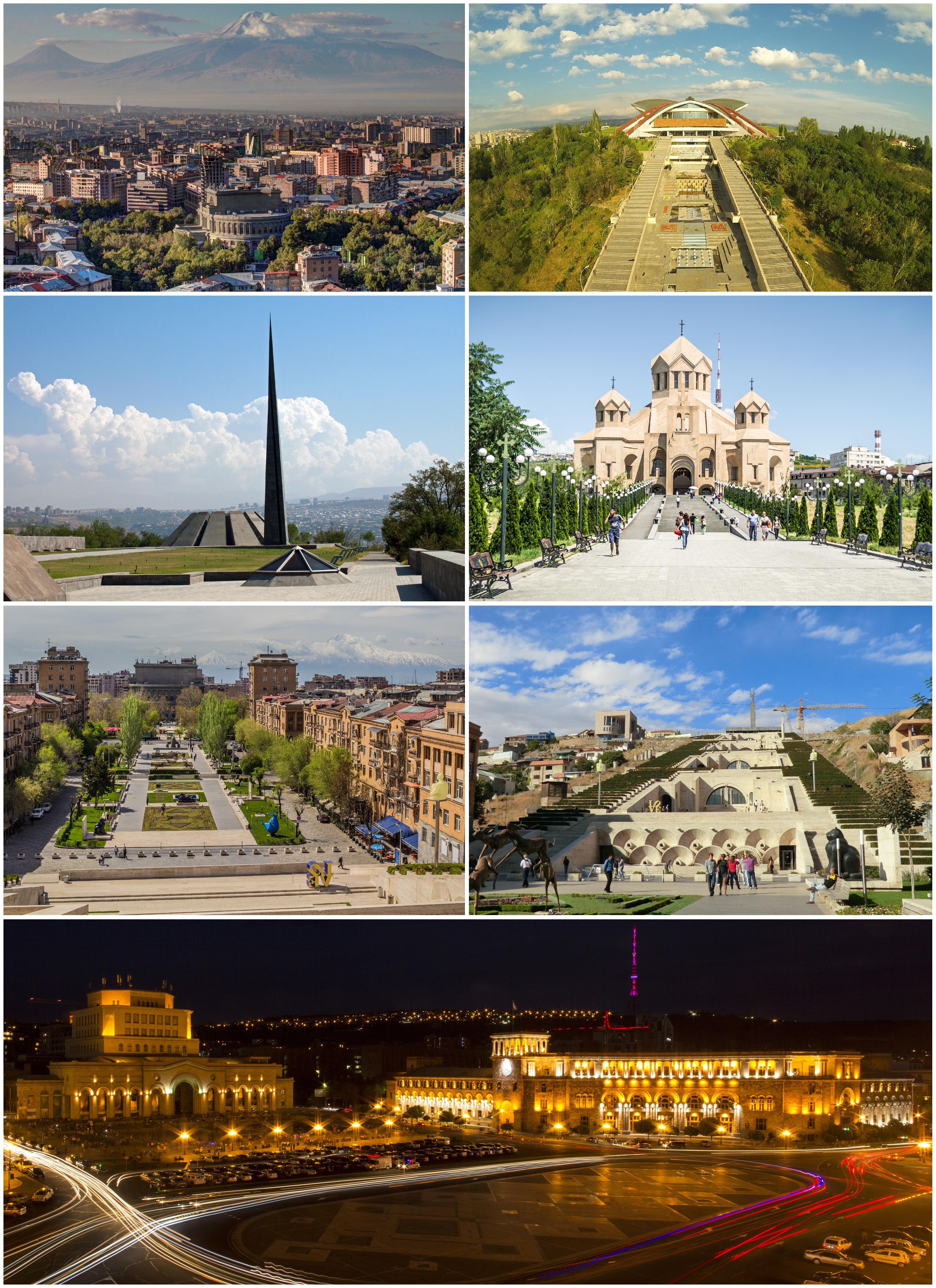

About Our Data
The data on this page is estimated using a number of publicly available tools and resources. It is provided without warranty, and could contain inaccuracies. Use at your own risk.