Makravan Facts
| Local Time | |
| Timezone | Armenia Standard Time |
| Lat & Lng | 40.52310, 44.73984 |
Map of Makravan
Interactive Map
Recent Nearby Earthquakes
Magnitude 3.0 and greater
| Date▼ | Time↕ | Magnitude↕ | Distance↕ | Depth↕ | Location↕ | Link |
|---|---|---|---|---|---|---|
| 6/6/18 | 1:07 PM | 4.2 | 54.8 km | 10,000 m | 2km NE of Arevashogh, Armenia | usgs.gov |
| 7/21/16 | 3:17 PM | 4.2 | 93.9 km | 15,760 m | 11km NNE of Metsavan, Armenia | usgs.gov |
| 4/6/15 | 1:26 AM | 4.1 | 44 km | 10,000 m | 5km SW of Lanjaghbyur, Armenia | usgs.gov |
| 10/3/14 | 9:45 AM | 4 | 88.1 km | 34,270 m | 7km WNW of Tovuz, Azerbaijan | usgs.gov |
| 11/4/08 | 6:53 PM | 3.3 | 61.1 km | 5,000 m | Armenia | usgs.gov |
| 4/29/08 | 5:20 AM | 3.7 | 97.1 km | 10,000 m | Armenia | usgs.gov |
| 7/9/07 | 9:33 AM | 4.4 | 79.1 km | 15,000 m | Armenia | usgs.gov |
| 4/11/07 | 7:43 PM | 3.5 | 46 km | 5,000 m | Armenia | usgs.gov |
| 1/12/07 | 8:00 AM | 4.2 | 31.7 km | 5,000 m | Armenia | usgs.gov |
| 7/29/05 | 9:09 PM | 3.1 | 71.8 km | 5,000 m | Armenia | usgs.gov |
Source: U.S. Geological Survey (USGS)
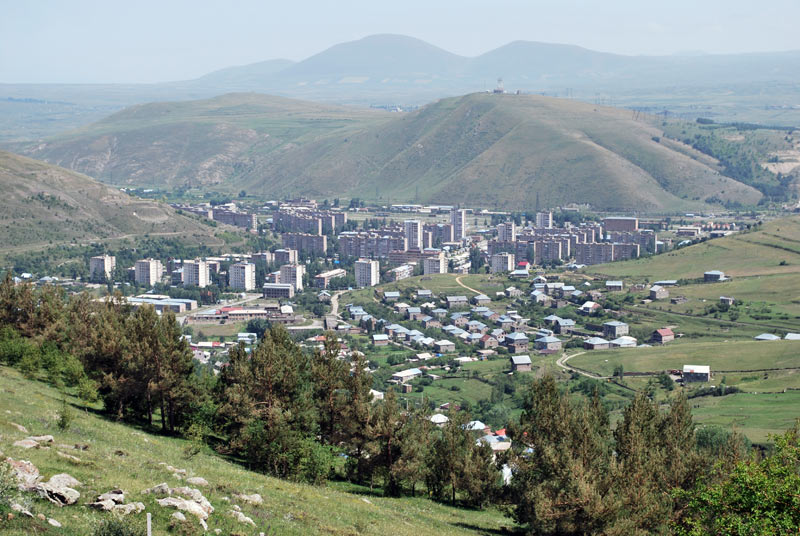
Makravan
Makravan is a district of the town of Hrazdan and a former village in the Kotayk Province of Armenia. Upon the 12 January 1963 decision of the Supreme Soviet of the Armenian SSR on the territorial changes in the state, the villages of Atarbekyan, Jra..
Makravan Wikipedia Page


About Our Data
The data on this page is estimated using a number of publicly available tools and resources. It is provided without warranty, and could contain inaccuracies. Use at your own risk.