Mets Parni Facts
| Local Time | |
| Timezone | Armenia Standard Time |
| Lat & Lng | 40.83335, 44.11042 |
Map of Mets Parni
Interactive Map
Recent Nearby Earthquakes
Magnitude 3.0 and greater
| Date▼ | Time↕ | Magnitude↕ | Distance↕ | Depth↕ | Location↕ | Link |
|---|---|---|---|---|---|---|
| 6/6/18 | 1:07 PM | 4.2 | 16.1 km | 10,000 m | 2km NE of Arevashogh, Armenia | usgs.gov |
| 7/21/16 | 3:17 PM | 4.2 | 53.7 km | 15,760 m | 11km NNE of Metsavan, Armenia | usgs.gov |
| 7/12/16 | 10:14 AM | 4.8 | 64.9 km | 10,000 m | 19km SW of Dmanisi, Georgia | usgs.gov |
| 9/27/11 | 8:58 AM | 4.2 | 54.6 km | 10,000 m | Georgia (Sak'art'velo) | usgs.gov |
| 11/4/08 | 6:53 PM | 3.3 | 84.8 km | 5,000 m | Armenia | usgs.gov |
| 6/18/08 | 11:04 AM | 3.7 | 69.2 km | 10,000 m | Georgia (Sak'art'velo) | usgs.gov |
| 7/24/07 | 7:31 PM | 4.2 | 56.9 km | 10,000 m | Georgia (Sak'art'velo) | usgs.gov |
| 7/9/07 | 9:33 AM | 4.4 | 26.2 km | 15,000 m | Armenia | usgs.gov |
| 4/11/07 | 7:43 PM | 3.5 | 74.5 km | 5,000 m | Armenia | usgs.gov |
| 1/12/07 | 8:00 AM | 4.2 | 84.2 km | 5,000 m | Armenia | usgs.gov |
Source: U.S. Geological Survey (USGS)
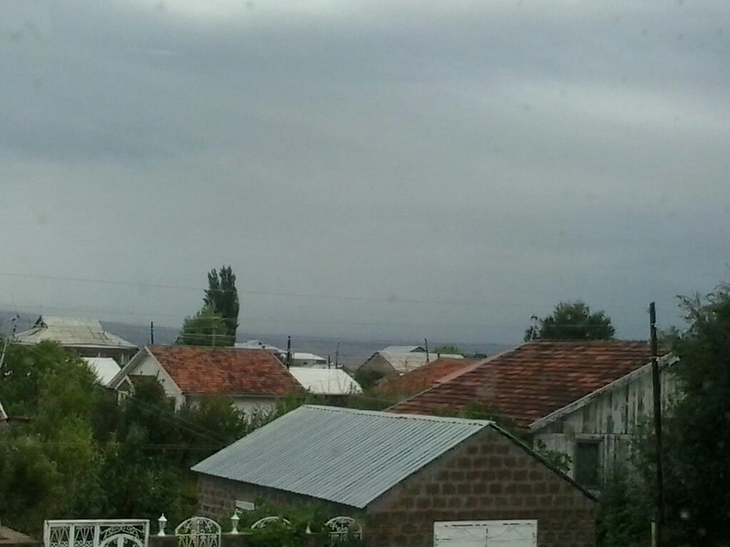
Mets Parni
Parni (Armenian: Մեծ Պառնի; also, Parni; formerly, Bekyand) is a town in the Lori Province of Armenia, 33 km north-west of the regional capital Vanadzor. The village is located on the right bank of the river Pambak, 1680 meters above sea level. vi..
Mets Parni Wikipedia Page


About Our Data
The data on this page is estimated using a number of publicly available tools and resources. It is provided without warranty, and could contain inaccuracies. Use at your own risk.