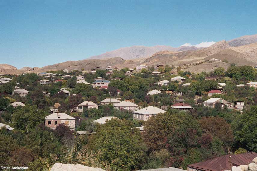
Map of Rind, Armenia
Interactive Map
Recent Nearby Earthquakes
Magnitude 3.0 and greater
| Date▼ | Time↕ | Magnitude↕ | Distance↕ | Depth↕ | Location↕ | Link |
|---|---|---|---|---|---|---|
| 4/6/15 | 1:26 AM | 4.1 | 53.2 km | 10,000 m | 5km SW of Lanjaghbyur, Armenia | usgs.gov |
| 1/7/15 | 11:00 PM | 4.1 | 88.4 km | 10,000 m | 18km SSE of Hats'avan, Armenia | usgs.gov |
| 11/4/08 | 6:53 PM | 3.3 | 82.7 km | 5,000 m | Armenia | usgs.gov |
| 4/29/08 | 5:20 AM | 3.7 | 70.5 km | 10,000 m | Armenia | usgs.gov |
| 3/14/08 | 5:09 AM | 4 | 91.6 km | 14,100 m | Turkey-Iran border region | usgs.gov |
| 4/11/07 | 7:43 PM | 3.5 | 82.4 km | 5,000 m | Armenia | usgs.gov |
| 1/12/07 | 8:00 AM | 4.2 | 65.6 km | 5,000 m | Armenia | usgs.gov |
| 10/22/06 | 5:16 PM | 4.2 | 84.5 km | 10,000 m | Turkey-Iran border region | usgs.gov |
| 8/12/06 | 7:02 AM | 3.2 | 99.3 km | 3,000 m | northwestern Iran | usgs.gov |
| 5/9/06 | 12:44 AM | 4.1 | 77.9 km | 14,000 m | Turkey-Iran border region | usgs.gov |
Source: U.S. Geological Survey (USGS)
Rind, Armenia
(Armenian: Ռինդ, also Romanized as Rrind) is a town in the Vayots Dzor Province of Armenia, most notable for being the site of a mass hysteria in the nineteenth century.
Rind, Armenia Wikipedia Page

About Our Data
The data on this page is estimated using a number of publicly available tools and resources. It is provided without warranty, and could contain inaccuracies. Use at your own risk.