Tegh Facts
| Local Time | |
| Timezone | Armenia Standard Time |
| Lat & Lng | 39.55792, 46.47723 |
| Postal Codes | 3219 |
Map of Tegh
Interactive Map
Recent Nearby Earthquakes
Magnitude 3.0 and greater
| Date▼ | Time↕ | Magnitude↕ | Distance↕ | Depth↕ | Location↕ | Link |
|---|---|---|---|---|---|---|
| 2/28/17 | 6:17 AM | 3.6 | 35.3 km | 10,000 m | 5km NW of Agarak, Armenia | usgs.gov |
| 1/7/15 | 11:00 PM | 4.1 | 48.1 km | 10,000 m | 18km SSE of Hats'avan, Armenia | usgs.gov |
| 3/25/11 | 9:52 AM | 4 | 81.8 km | 11,100 m | Azerbaijan-Iran border region | usgs.gov |
| 4/29/08 | 5:20 AM | 3.7 | 90.9 km | 10,000 m | Armenia | usgs.gov |
| 9/19/07 | 4:57 PM | 4.1 | 94.6 km | 24,000 m | Azerbaijan | usgs.gov |
| 6/17/01 | 11:22 AM | 4.2 | 64.1 km | 33,000 m | Naxcivan, Azerbaijan | usgs.gov |
| 6/12/01 | 1:46 AM | 4.5 | 90.4 km | 33,000 m | Azerbaijan-Iran border region | usgs.gov |
| 1/23/01 | 9:27 AM | 4.2 | 75.8 km | 33,000 m | Azerbaijan | usgs.gov |
| 10/28/00 | 8:00 PM | 3.4 | 62.3 km | 33,000 m | Azerbaijan | usgs.gov |
| 6/19/96 | 7:07 AM | 3.9 | 66.9 km | 33,000 m | Naxcivan, Azerbaijan | usgs.gov |
Source: U.S. Geological Survey (USGS)
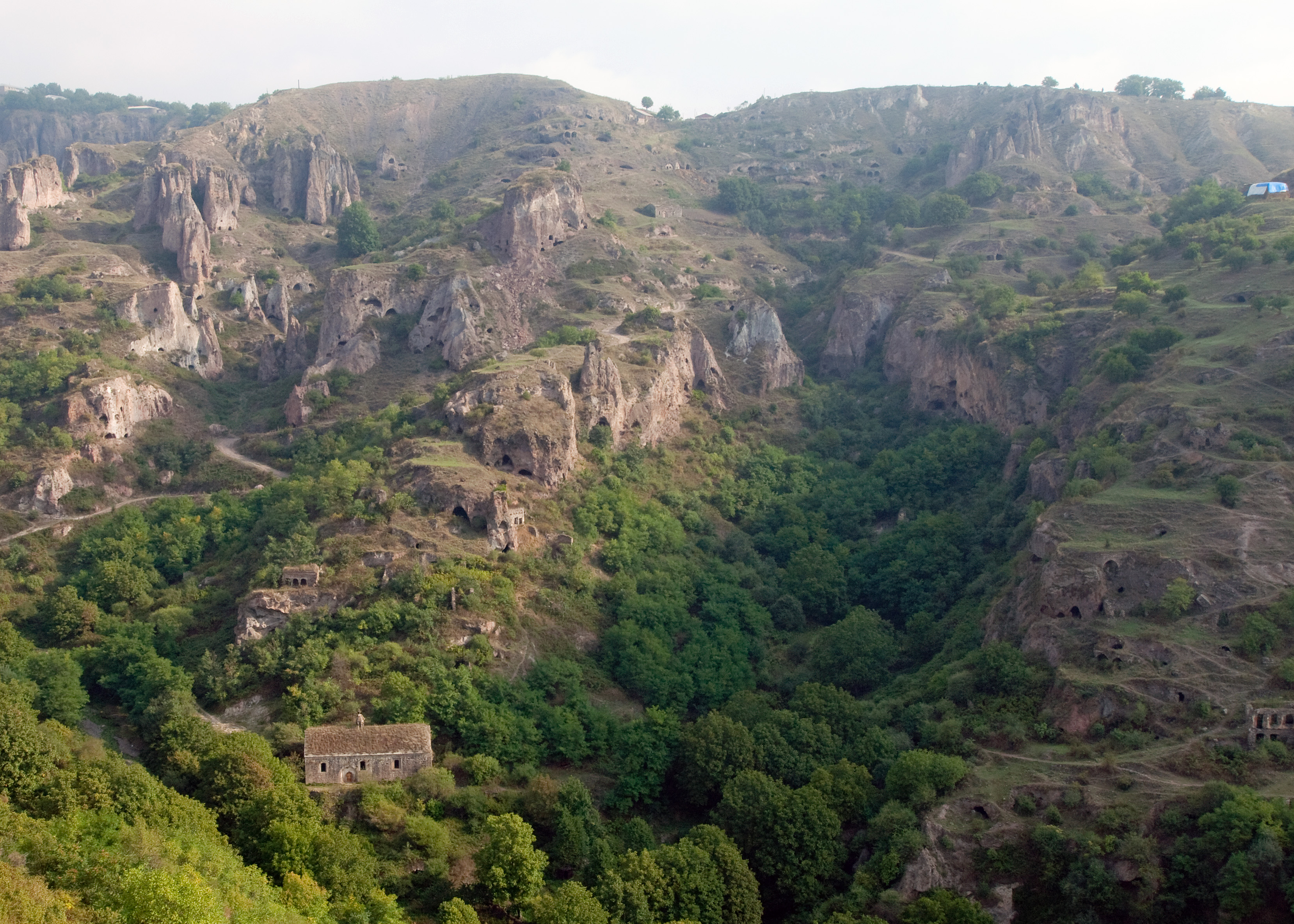
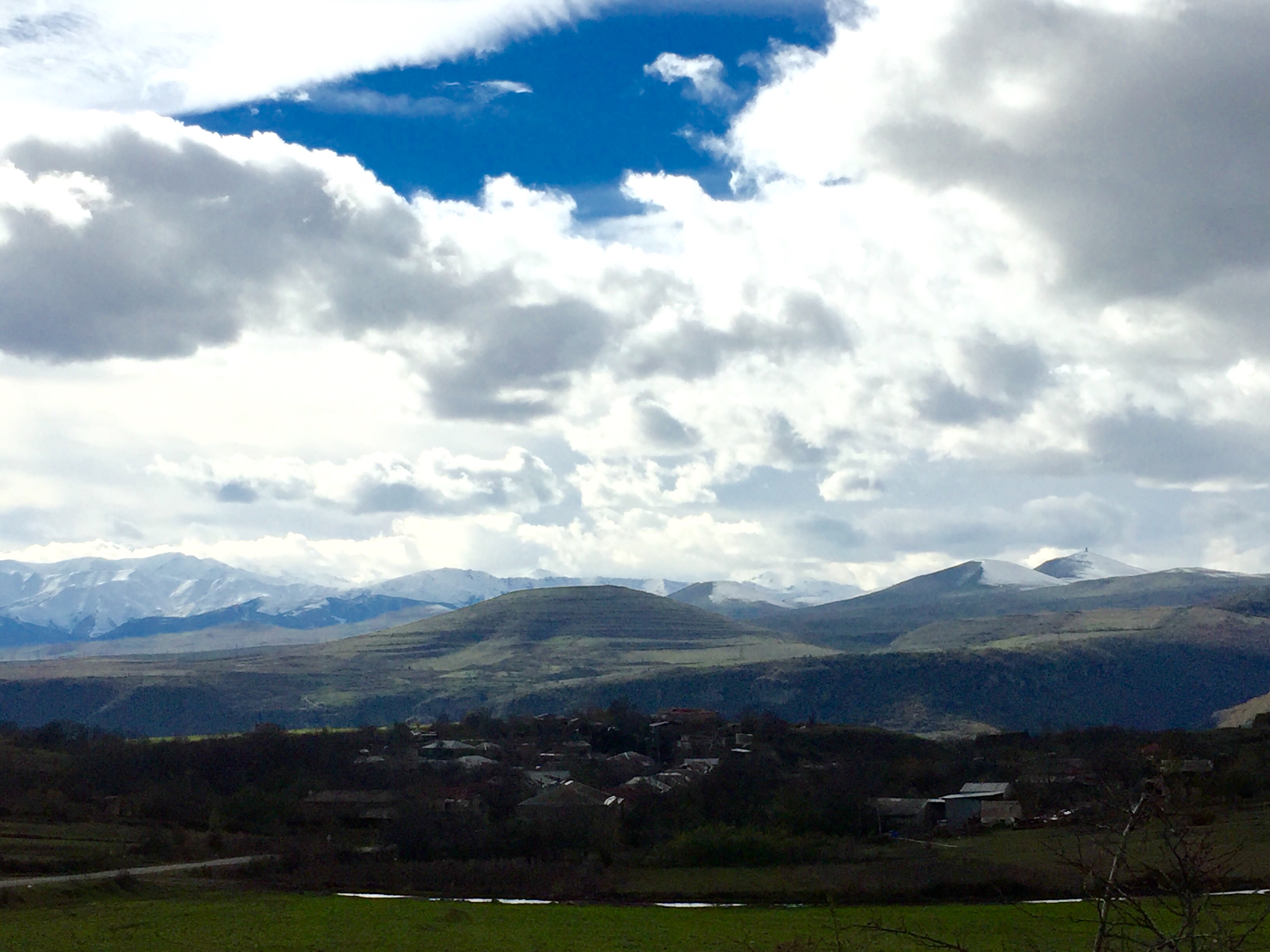
Tegh
Tegh (Armenian: Տեղ) is a village and rural community (municipality) in the Syunik Province of Armenia. The National Statistical Service of the Republic of Armenia (ARMSTAT) reported its population was 2,520 in 2010, up from 2,333 at the 2001 census...
Tegh Wikipedia Page

About Our Data
The data on this page is estimated using a number of publicly available tools and resources. It is provided without warranty, and could contain inaccuracies. Use at your own risk.