Tsater Facts
| Local Time | |
| Timezone | Armenia Standard Time |
| Lat & Lng | 40.96056, 44.62944 |
Map of Tsater
Interactive Map
Recent Nearby Earthquakes
Magnitude 3.0 and greater
| Date▼ | Time↕ | Magnitude↕ | Distance↕ | Depth↕ | Location↕ | Link |
|---|---|---|---|---|---|---|
| 6/6/18 | 1:07 PM | 4.2 | 29.9 km | 10,000 m | 2km NE of Arevashogh, Armenia | usgs.gov |
| 7/21/16 | 3:17 PM | 4.2 | 47 km | 15,760 m | 11km NNE of Metsavan, Armenia | usgs.gov |
| 7/12/16 | 10:14 AM | 4.8 | 63.6 km | 10,000 m | 19km SW of Dmanisi, Georgia | usgs.gov |
| 4/6/15 | 1:26 AM | 4.1 | 89.6 km | 10,000 m | 5km SW of Lanjaghbyur, Armenia | usgs.gov |
| 10/3/14 | 9:45 AM | 4 | 77.4 km | 34,270 m | 7km WNW of Tovuz, Azerbaijan | usgs.gov |
| 9/27/11 | 8:58 AM | 4.2 | 59.4 km | 10,000 m | Georgia (Sak'art'velo) | usgs.gov |
| 6/18/08 | 11:04 AM | 3.7 | 50.8 km | 10,000 m | Georgia (Sak'art'velo) | usgs.gov |
| 7/24/07 | 7:31 PM | 4.2 | 78.6 km | 10,000 m | Georgia (Sak'art'velo) | usgs.gov |
| 7/9/07 | 9:33 AM | 4.4 | 43.1 km | 15,000 m | Armenia | usgs.gov |
| 4/11/07 | 7:43 PM | 3.5 | 86.7 km | 5,000 m | Armenia | usgs.gov |
Source: U.S. Geological Survey (USGS)
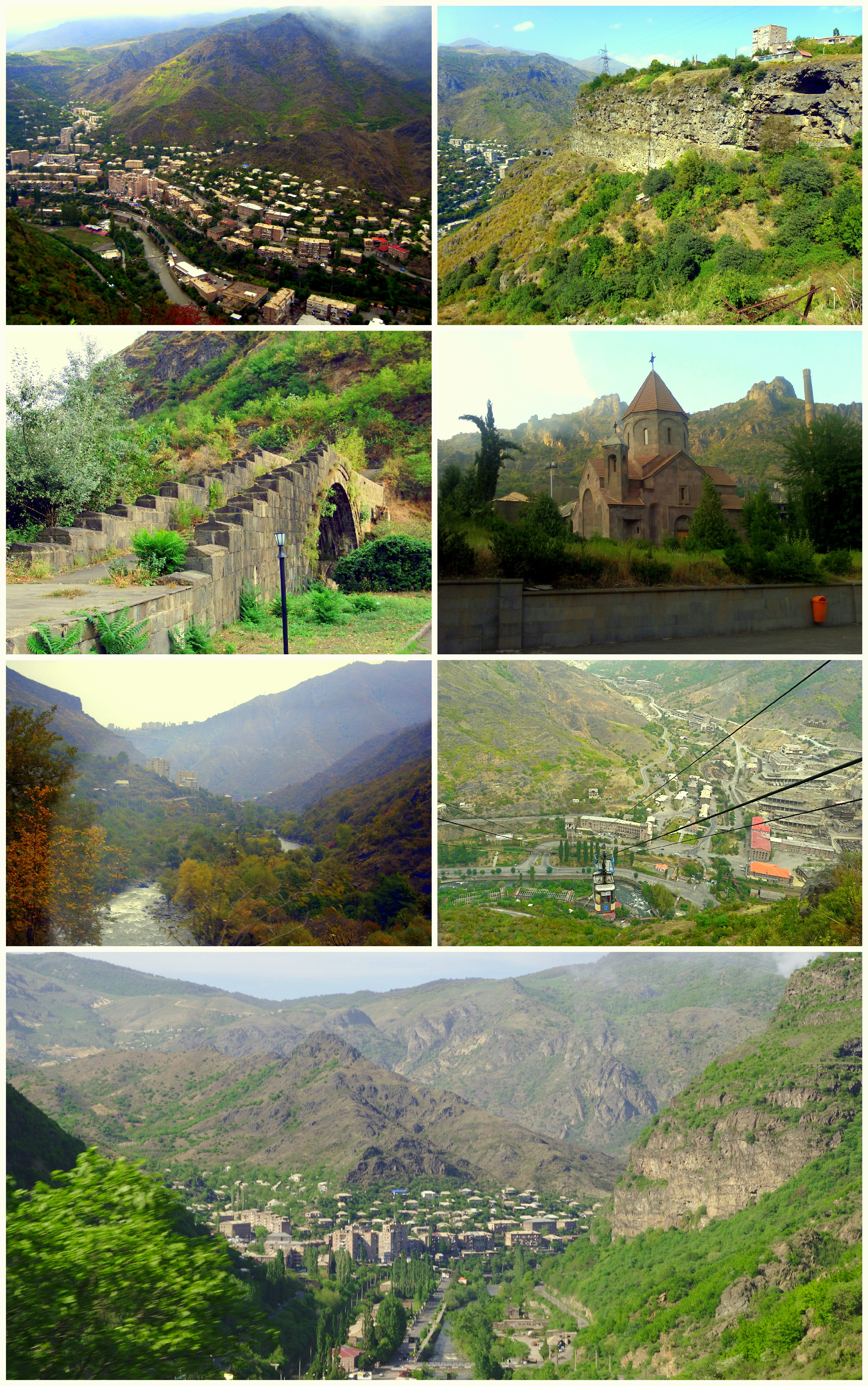
Tsater
(Armenian: Ծաթեր, also romanized as Tsat’er) is a town in the Lori Province of Armenia.
Tsater Wikipedia Page

About Our Data
The data on this page is estimated using a number of publicly available tools and resources. It is provided without warranty, and could contain inaccuracies. Use at your own risk.