Industries
Business Distribution by Industry in Kamp
| Industry Description | Number of Establishments |
|---|---|
| Other accommodation | 13 |
| Restaurants | 13 |
| Wine, beer and liquor stores | 12 |
| Grocery stores and supermarkets | 8 |
| Unreachable | 8 |
| Religion | 6 |
| Health and medical | 6 |
| Museums | 5 |
| Post office | 5 |
| Firefighting and rescue | 5 |
| Public swimming pools | 5 |
Kamp Facts
| Neighborhoods | Walkersdorf am Kamp, Kamp, See, Zöbing, Walkersdorf |
| Local Time | |
| Timezone | Central European Summer Time |
| Lat & Lng | 48.43333, 15.75000 |
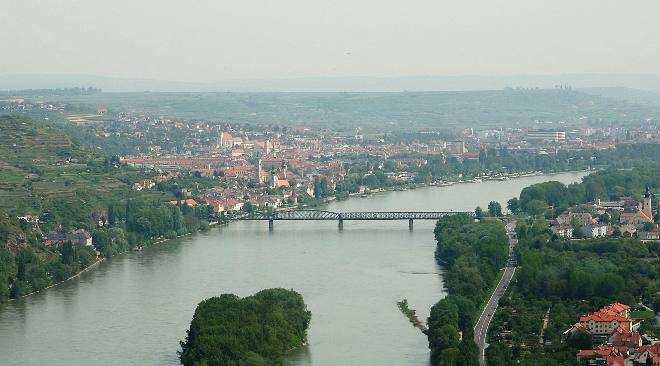
Map of Kamp
Interactive Map
Area Codes
Percentage Area Codes used by businesses in Kamp
Postal Codes
Percentage of businesses by Postal Codes in Kamp
Price Distribution
Business distribution by price for Kamp
Recent Nearby Earthquakes
Magnitude 3.0 and greater
| Date▼ | Time↕ | Magnitude↕ | Distance↕ | Depth↕ | Location↕ | Link |
|---|---|---|---|---|---|---|
| 4/25/16 | 10:28 AM | 4.2 | 48.2 km | 3,460 m | 3km NNE of Heiligenkreuz, Austria | usgs.gov |
| 10/2/13 | 5:17 PM | 3.6 | 73.6 km | 11,550 m | 2km SW of Mitterndorf an der Fischa, Austria | usgs.gov |
| 9/20/13 | 2:06 AM | 4.2 | 78 km | 14,570 m | 1km SSE of Leithaprodersdorf, Austria | usgs.gov |
| 5/7/09 | 9:27 PM | 4.2 | 96.1 km | 11,900 m | Austria | usgs.gov |
| 12/7/08 | 2:47 AM | 3.9 | 71.9 km | 10,000 m | Austria | usgs.gov |
| 6/3/08 | 7:42 PM | 3.1 | 90.1 km | 6,600 m | Austria | usgs.gov |
| 2/26/08 | 7:57 PM | 3.9 | 86.5 km | 10,000 m | Austria | usgs.gov |
| 1/30/08 | 2:54 PM | 3.8 | 86.7 km | 10,000 m | Austria | usgs.gov |
| 7/25/05 | 3:06 AM | 4.1 | 80.1 km | 12,100 m | Austria | usgs.gov |
| 12/11/03 | 1:38 AM | 3.3 | 41.2 km | 10,000 m | Austria | usgs.gov |
Source: U.S. Geological Survey (USGS)
Kamp
The Kamp is a 153 km long river in northern Austria, left tributary of the Danube. The source of the Kamp is on the border of Lower Austria and Upper Austria, near the town Liebenau, in the Mühlviertel. It flows generally east through Rapottenstein (..
Kamp Wikipedia Page


About Our Data
The data on this page is estimated using a number of publicly available tools and resources. It is provided without warranty, and could contain inaccuracies. Use at your own risk.