Steinberg-Dörfl Facts
| Area Codes | 2612 |
| Local Time | |
| Timezone | Central European Summer Time |
| Lat & Lng | 47.47426, 16.48765 |
Map of Steinberg-Dörfl
Interactive Map
Recent Nearby Earthquakes
Magnitude 3.0 and greater
| Date▼ | Time↕ | Magnitude↕ | Distance↕ | Depth↕ | Location↕ | Link |
|---|---|---|---|---|---|---|
| 4/25/16 | 10:28 AM | 4.2 | 73 km | 3,460 m | 3km NNE of Heiligenkreuz, Austria | usgs.gov |
| 10/2/13 | 5:17 PM | 3.6 | 54.4 km | 11,550 m | 2km SW of Mitterndorf an der Fischa, Austria | usgs.gov |
| 9/20/13 | 2:06 AM | 4.2 | 50 km | 14,570 m | 1km SSE of Leithaprodersdorf, Austria | usgs.gov |
| 5/7/09 | 9:27 PM | 4.2 | 61.7 km | 11,900 m | Austria | usgs.gov |
| 12/7/08 | 2:47 AM | 3.9 | 49.7 km | 10,000 m | Austria | usgs.gov |
| 6/3/08 | 7:42 PM | 3.1 | 82.1 km | 6,600 m | Austria | usgs.gov |
| 2/26/08 | 7:57 PM | 3.9 | 42.2 km | 10,000 m | Austria | usgs.gov |
| 1/30/08 | 2:54 PM | 3.8 | 36.5 km | 10,000 m | Austria | usgs.gov |
| 3/3/07 | 8:35 PM | 3 | 34.2 km | 10,000 m | Hungary | usgs.gov |
| 7/25/05 | 3:06 AM | 4.1 | 40 km | 12,100 m | Austria | usgs.gov |
Source: U.S. Geological Survey (USGS)
Steinberg-Dörfl
Steinberg-Dörfl (Croatian: Štamperak-Drfelj, Hungarian: Répcekőhalom-Dérföld) is a town in the district of Oberpullendorf in the Austrian state of Burgenland.
Steinberg-Dörfl Wikipedia Page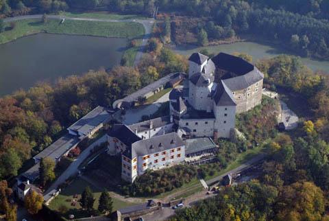


About Our Data
The data on this page is estimated using a number of publicly available tools and resources. It is provided without warranty, and could contain inaccuracies. Use at your own risk.