Categories in Forrest
Car Repair and MaintenanceCar WashHot Water System SupplierBoutiqueCleanersClothing storesFashion Accessories StoreJewelers and watchesShoe storesWomen's clothingMedia CompanyChurchesCounselorDay Care CenterDisability Services and Support OrganizationEmbassies and consulatesFederal Government OfficeGovernment OfficeNon-Profit OrganizationYouth OrganizationComputer ConsultantComputer Repair ServiceComputer Support and ServicesSoftware CompanySoftware ConsultantArchitectsBathroom RemodelerBuilding Construction ContractorCarpenterConstruction of buildingsConstruction of housesContractorDeck BuilderElectrical Installation ServiceElectricianEngineering ConsultantHome Goods StoreKitchen RemodelerPaintingPainting and paint contractorsPlumbing installation and repairResidential BuildingRoofing contractorTile ContractorEducationEducational ConsultantEducation CenterLearning CenterPhysical educationPilates StudioPrimary SchoolTraining CentreVocational & Professional TrainingYoga StudioArt galleriesEntertainment ProviderFilm, tv and video productionGraphic DesignerLandscape DesignerPhotographerPhotography ServiceTourist AttractionWebsite DesignerWedding PhotographerWedding ServiceBars, pubs and tavernsBreakfast and brunchCafesCocktail BarCoffee ShopFast food restaurantsFood delivery servicesItalian restaurantsMeal TakeawayRestaurantsThai restaurantsCarpet and rug cleaningGardenerHandymanInterior decorationsLandscaperLawn Care ServiceTree ServiceAccountantAtm'sBanksFinance BrokerFinancial ConsultantFinancial PlannerInvestment ServiceLaw FirmLegal ServicesMortgage companiesProperty InvestmentTax Preparation ServiceDental ClinicDentistsGeneral practitionersHealth ConsultantMarriage CounselorMedical clinicMental Health ServiceNaturopathic PractitionerNutritionistsOrthodontistsPhysiotherapyPsychologistReiki TherapistSkin Care ClinicSports Massage TherapistWellness CenterWellness ProgramBarbersBeauty salonsHairdresserHair SalonManicures and pedicuresMassagePersonal TrainerBusiness Management ConsultantBusiness to Business ServiceCleaning ServiceComputer Security ServiceEmployment AgencyEnvironmental ConsultantHouse Cleaning ServiceInternet Marketing ServiceMarketing AgencyWindow Cleaning ServiceApartment BuildingApartment ComplexProperty Management CompanyReal Estate AgencyReal Estate AgentsReal Estate AppraiserReal Estate ConsultantReal Estate DeveloperFloristsGift ShopJewelerLiquor StorePharmacyShoppingShopping MallSupermarketGymPhysical Fitness ProgramPlaygroundPublic parksRecreation CenterSports ComplexTennis CourtBus StationHotelsHotels and motelsServiced AccommodationTravel AgencyUnreachable
Forrest Facts
| Area | 1.6 km² |
| Population | 1,751 |
| Male Population | 872 (49.8%) |
| Female Population | 879 (50.2%) |
| Population change (1975 to 2020) | +85.5% |
| Population change (2000 to 2020) | +34.4% |
| Median Age | 42.2 years (Male: 42.1, Female: 42.4) |
| Local Time | |
| Timezone | Australian Eastern Standard Time |
| Lat & Lng | -35.31499, 149.12859 |
| Postal Codes | 2603 |
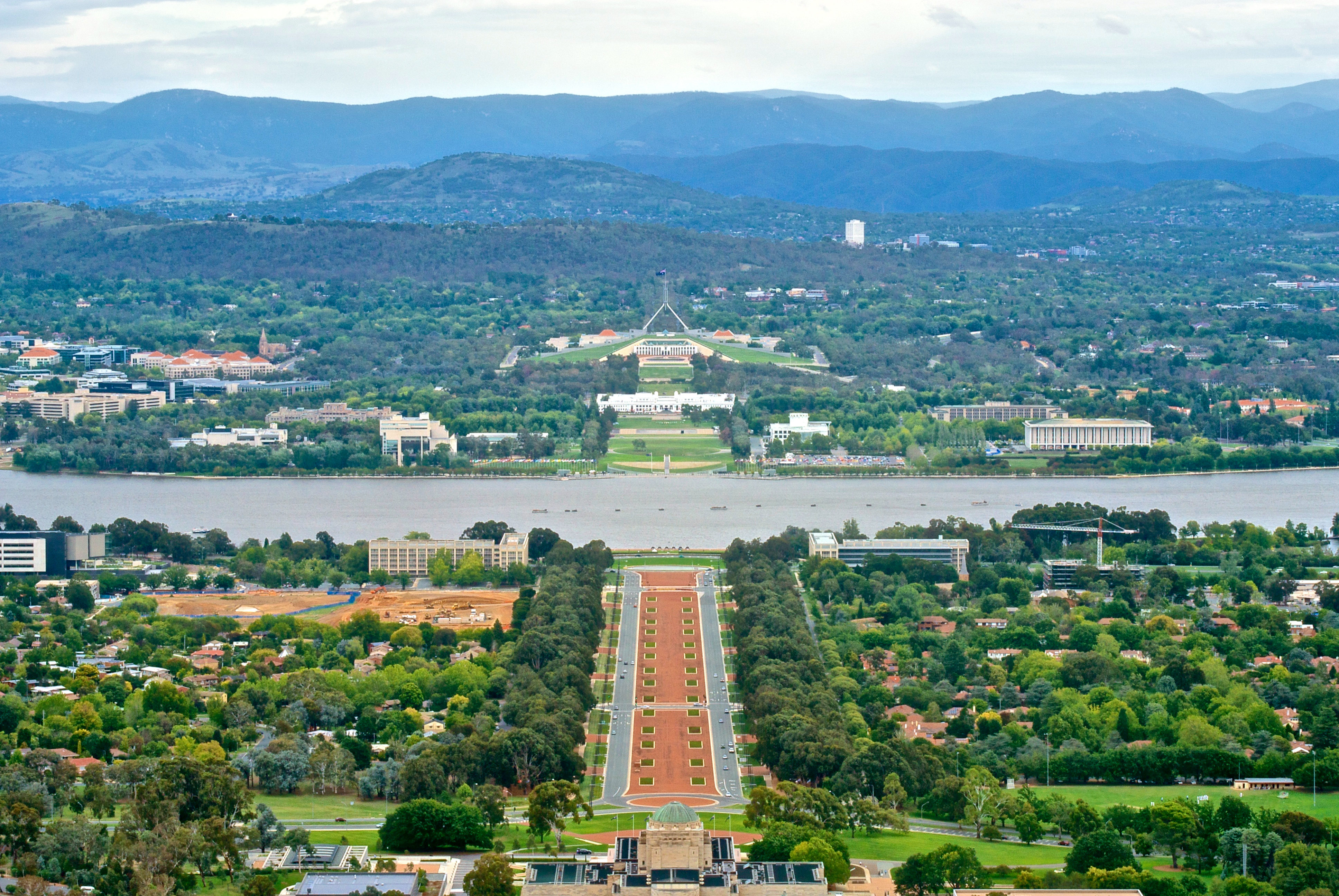
Map of Forrest
Interactive Map
Forrest Population
Years 1975 to 2020
| Data | 1975 | 1990 | 2000 | 2015 | 2020 |
|---|---|---|---|---|---|
| Population | 944 | 1,164 | 1,303 | 1,638 | 1,751 |
| Population Density | 604.2 / km² | 745 / km² | 833.9 / km² | 1,048.3 / km² | 1,120.6 / km² |
Sources: JRC (European Commission's Joint Research Centre) work on the GHS built-up grid
Forrest Population change from 2000 to 2015
Increase of 25.7% from year 2000 to 2015
| Location | Change since 1975 | Change since 1990 | Change since 2000 |
|---|---|---|---|
| Forrest | +73.5% | +40.7% | +25.7% |
| Australian Capital Territory | +72.6% | +40.2% | +25.5% |
| Australia | +72.6% | +40.3% | +25.5% |
Sources: JRC (European Commission's Joint Research Centre) work on the GHS built-up grid
Forrest Median Age
Median Age: 42.2 years
| Location | Median Age | Median Age (Female) | Median Age (Male) |
|---|---|---|---|
| Forrest | 42.2 yrs | 42.4 yrs | 42.1 yrs |
| Australian Capital Territory | 34.8 yrs | 35.7 yrs | 33.9 yrs |
| Australia | 37.7 yrs | 38.6 yrs | 36.8 yrs |
Sources: CIESIN (Center for International Earth Science Information Network)
Forrest Population Density
Population Density: 1,121 / km²
| Location | Population | Area | Density |
|---|---|---|---|
| Forrest | 1,751 | 1.563 km² | 1,121 / km² |
| Australian Capital Territory | 398,288 | 2,358 km² | 169 / km² |
| Australia | 23.8 million | 7,690,961.5 km² | 3.1 / km² |
Sources: JRC (European Commission's Joint Research Centre) work on the GHS built-up grid
Forrest Historical and Projected Population
Estimated Population from 1930 to 2100
Sources:
- JRC (European Commission's Joint Research Centre) work on the GHS built-up grid
- CIESIN (Center for International Earth Science Information Network)
- [Link] Klein Goldewijk, K., Beusen, A., Doelman, J., and Stehfest, E.: Anthropogenic land use estimates for the Holocene – HYDE 3.2, Earth Syst. Sci. Data, 9, 927–953, https://doi.org/10.5194/essd-9-927-2017, 2017.
Human Development Index (HDI)
Statistic composite index of life expectancy, education, and per capita income.
Source: [Link] Kummu, M., Taka, M. &Guillaume, J. Gridded global datasets for Gross Domestic Product and Human Development Index over 1990–2015. Sci Data 5, 180004 (2018) doi:10.1038/sdata.2018.4
Forrest CO2 Emissions
Carbon Dioxide (CO2) Emissions Per Capita in Tonnes Per Year
| Location | CO2 Emissions | CO2 Emissions Per Capita | CO2 Emissions Intensity |
|---|---|---|---|
| Forrest | 34,677 tn | 19.8 tn | 22,193 tons/km² |
| Australian Capital Territory | 8,580,030 tn | 21.54 tn | 3,638.7 tons/km² |
| Australia | 401,155,564 tn | 16.88 tn | 52.2 tons/km² |
Sources: [Link] Moran, D., Kanemoto K; Jiborn, M., Wood, R., Többen, J., and Seto, K.C. (2018) Carbon footprints of 13,000 cities. Environmental Research Letters DOI: 10.1088/1748-9326/aac72a
Forrest CO2 Emissions
| 2013 CO2 emissions (tonnes/year) | 34,677 tn |
| 2013 CO2 emissions (tonnes/year) per capita | 19.8 tn |
| 2013 CO2 emissions intensity (tonnes/km²/year) | 22,193 tons/km² |
Natural Hazards Risk
Relative risk out of 10
| Hazard | Risk Level |
|---|---|
| Drought | Low (2) |
| Earthquake | Medium (4) |
* Risk, particularly concerning flood or landslide, may not be for the entire area.
Sources:
- Dilley, M., R.S. Chen, U. Deichmann, A.L. Lerner-Lam, M. Arnold, J. Agwe, P. Buys, O. Kjekstad, B. Lyon, and G. Yetman. 2005. Natural Disaster Hotspots: A Global Risk Analysis. Washington, D.C.: World Bank. https://doi.org/10.1596/0-8213-5930-4.
- Center for Hazards and Risk Research - CHRR - Columbia University, Center for International Earth Science Information Network - CIESIN - Columbia University, and International Research Institute for Climate and Society - IRI - Columbia University. 2005. Global Drought Hazard Frequency and Distribution. Palisades, NY: NASA Socioeconomic Data and Applications Center (SEDAC). https://doi.org/10.7927/H4VX0DFT.
- Center for Hazards and Risk Research - CHRR - Columbia University, Center for International Earth Science Information Network - CIESIN - Columbia University. 2005. Global Earthquake Hazard Distribution - Peak Ground Acceleration. Palisades, NY: NASA Socioeconomic Data and Applications Center (SEDAC). https://doi.org/10.7927/H4BZ63ZS.
Recent Nearby Earthquakes
Magnitude 3.0 and greater
| Date▼ | Time↕ | Magnitude↕ | Distance↕ | Depth↕ | Location↕ | Link |
|---|---|---|---|---|---|---|
| 4/19/12 | 7:09 PM | 3.7 | 48.7 km | 4,000 m | New South Wales, Australia | usgs.gov |
| 8/13/06 | 1:30 PM | 3.3 | 56.4 km | 3,000 m | New South Wales, Australia | usgs.gov |
| 4/21/06 | 8:11 AM | 3.1 | 55.9 km | 5,000 m | New South Wales, Australia | usgs.gov |
| 3/2/06 | 6:17 AM | 3.4 | 57.4 km | 3,000 m | New South Wales, Australia | usgs.gov |
| 12/1/03 | 2:29 PM | 3 | 99 km | 5,000 m | near the southeast coast of Australia | usgs.gov |
| 11/26/03 | 4:39 AM | 3 | 61.1 km | 0 m | New South Wales, Australia | usgs.gov |
| 1/14/03 | 1:43 PM | 3.1 | 34.8 km | 10,000 m | near the southeast coast of Australia | usgs.gov |
| 7/2/92 | 6:45 PM | 3 | 59.3 km | 10,000 m | New South Wales, Australia | usgs.gov |
| 7/4/77 | 8:05 PM | 4.2 | 79.7 km | 20,000 m | New South Wales, Australia | usgs.gov |
| 6/30/77 | 12:48 PM | 4.2 | 79.8 km | 20,000 m | New South Wales, Australia | usgs.gov |
Source: U.S. Geological Survey (USGS)


About Our Data
The data on this page is estimated using a number of publicly available tools and resources. It is provided without warranty, and could contain inaccuracies. Use at your own risk.