Babijn Facts
| Local Time | |
| Timezone | Atlantic Standard Time |
| Lat & Lng | 12.53333, -69.98333 |
Map of Babijn
Interactive Map
Price Distribution
Business distribution by price for Babijn
Recent Nearby Earthquakes
Magnitude 3.0 and greater
| Date▼ | Time↕ | Magnitude↕ | Distance↕ | Depth↕ | Location↕ | Link |
|---|---|---|---|---|---|---|
| 3/10/17 | 1:46 PM | 5.2 | 76.5 km | 15,000 m | 56km N of La Vela de Coro, Venezuela | usgs.gov |
| 3/9/17 | 1:29 PM | 4.8 | 67 km | 19,440 m | 58km WSW of Dorp Soto, Curaçao | usgs.gov |
| 10/14/14 | 6:57 PM | 4.4 | 47.9 km | 32,900 m | 35km NNW of Arasji, Aruba | usgs.gov |
| 10/3/14 | 6:48 AM | 4.4 | 56.9 km | 10,000 m | 44km NW of Arasji, Aruba | usgs.gov |
| 9/24/14 | 3:16 PM | 4.5 | 50.3 km | 29,230 m | 37km NNW of Arasji, Aruba | usgs.gov |
| 9/22/14 | 7:49 AM | 4 | 62.2 km | 10,000 m | 49km NNW of Arasji, Aruba | usgs.gov |
| 7/28/14 | 10:55 AM | 4.1 | 47.3 km | 30,350 m | 35km NNW of Arasji, Aruba | usgs.gov |
| 7/27/14 | 8:34 PM | 4.3 | 48.9 km | 30,760 m | 36km NNW of Arasji, Aruba | usgs.gov |
| 3/7/14 | 5:31 PM | 3 | 29.2 km | 23,600 m | 27km S of Angochi, Aruba | usgs.gov |
| 2/21/14 | 11:43 AM | 4.6 | 80 km | 33,380 m | 72km WSW of Arasji, Aruba | usgs.gov |
Source: U.S. Geological Survey (USGS)
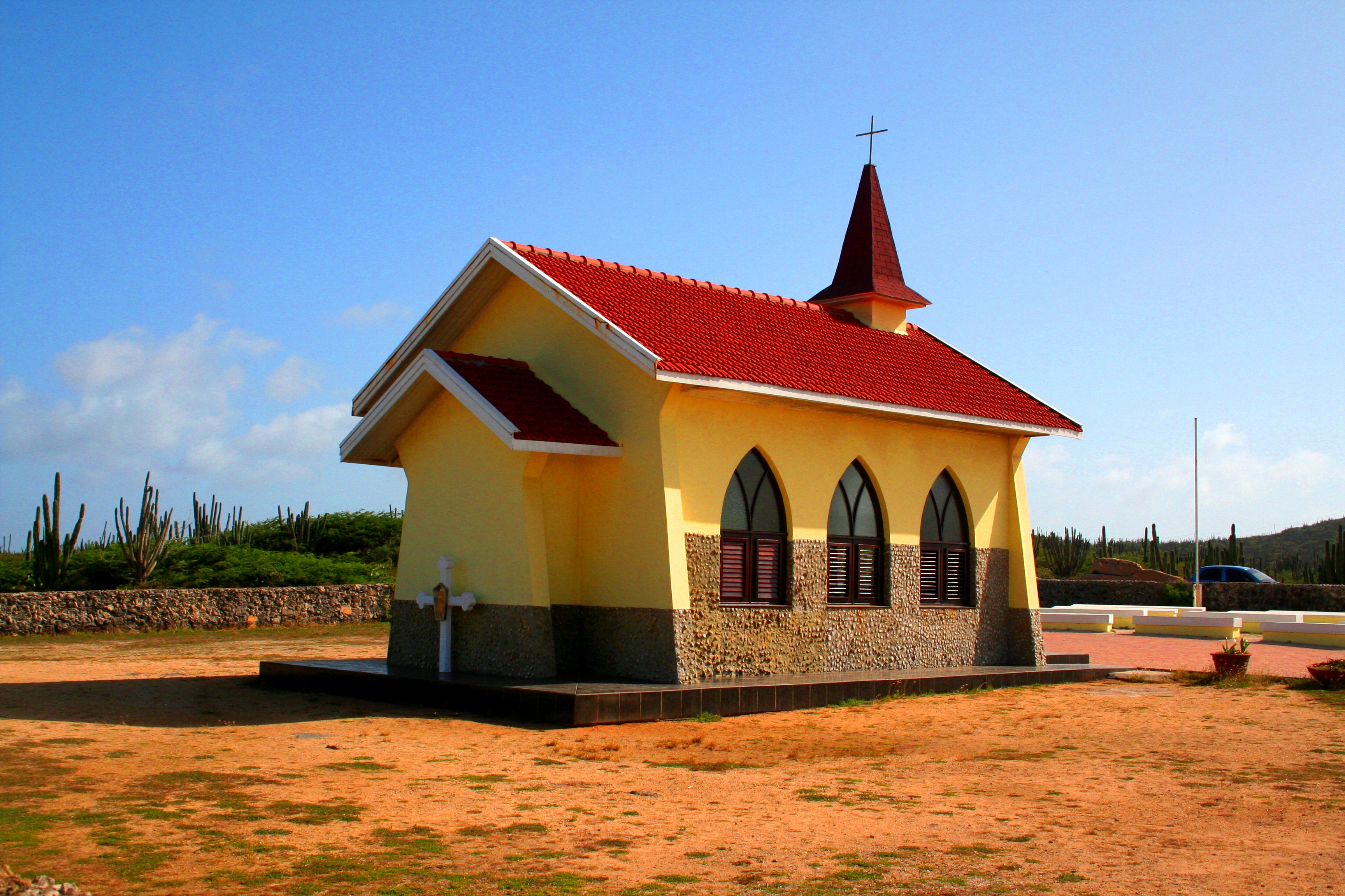
Babijn
Babijn is a settlement on the island of Aruba, located towards the center of the island.
Babijn Wikipedia Page

About Our Data
The data on this page is estimated using a number of publicly available tools and resources. It is provided without warranty, and could contain inaccuracies. Use at your own risk.