Cvilin Facts
| Local Time | |
| Timezone | Central European Summer Time |
| Lat & Lng | 43.57272, 18.80315 |
Map of Cvilin
Interactive Map
Recent Nearby Earthquakes
Magnitude 3.0 and greater
| Date▼ | Time↕ | Magnitude↕ | Distance↕ | Depth↕ | Location↕ | Link |
|---|---|---|---|---|---|---|
| 7/21/19 | 9:07 AM | 4.2 | 26.2 km | 10,000 m | 8km SSE of Cajnice, Bosnia and Herzegovina | usgs.gov |
| 4/12/15 | 12:05 AM | 4.1 | 28.2 km | 3,600 m | 5km S of Koran, Bosnia and Herzegovina | usgs.gov |
| 2/28/15 | 8:24 AM | 4.1 | 30.1 km | 5,000 m | 21km SSE of Gracanica, Bosnia and Herzegovina | usgs.gov |
| 2/3/13 | 12:00 PM | 4 | 43.8 km | 13,100 m | 15km E of Gacko, Bosnia and Herzegovina | usgs.gov |
| 2/3/13 | 3:37 AM | 4 | 34.3 km | 10,000 m | Bosnia and Herzegovina | usgs.gov |
| 1/25/13 | 6:52 PM | 4 | 37.8 km | 10,000 m | Bosnia and Herzegovina | usgs.gov |
| 9/17/11 | 6:52 AM | 3.3 | 23.8 km | 11,300 m | Bosnia and Herzegovina | usgs.gov |
| 1/24/11 | 1:26 AM | 4.4 | 47 km | 6,000 m | Montenegro | usgs.gov |
| 1/22/11 | 12:48 AM | 4 | 45.5 km | 9,000 m | Montenegro | usgs.gov |
| 12/21/10 | 8:56 AM | 4.1 | 47.4 km | 6,700 m | Montenegro | usgs.gov |
Source: U.S. Geological Survey (USGS)
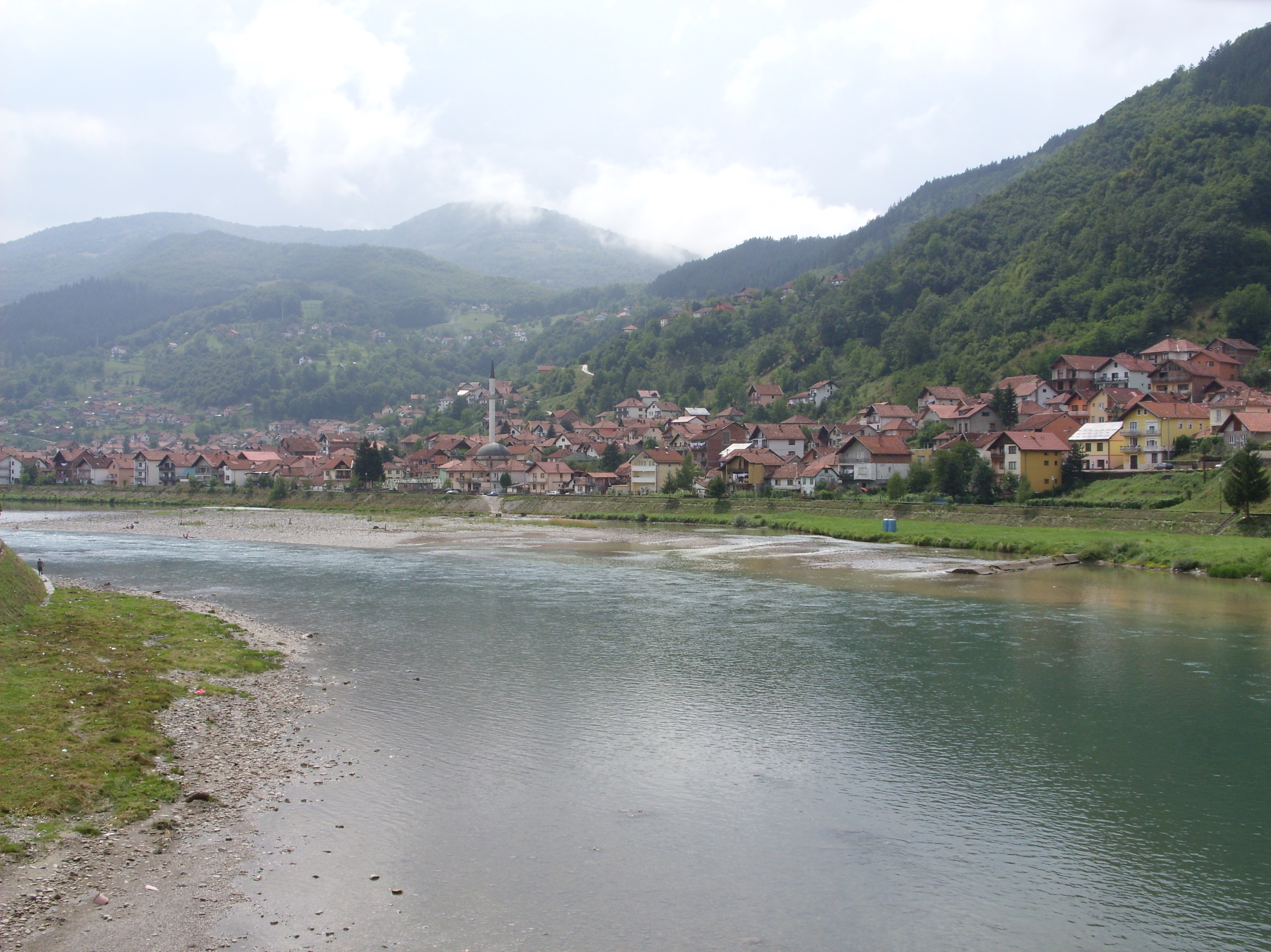
Cvilin
Cvilin (Serbian Cyrillic: Цвилин) is a village in the municipality of Foča, Republika Srpska, Bosnia and Herzegovina.
Cvilin Wikipedia Page
About Our Data
The data on this page is estimated using a number of publicly available tools and resources. It is provided without warranty, and could contain inaccuracies. Use at your own risk.