Goruša Facts
| Local Time | |
| Timezone | Central European Summer Time |
| Lat & Lng | 44.02781, 17.50640 |
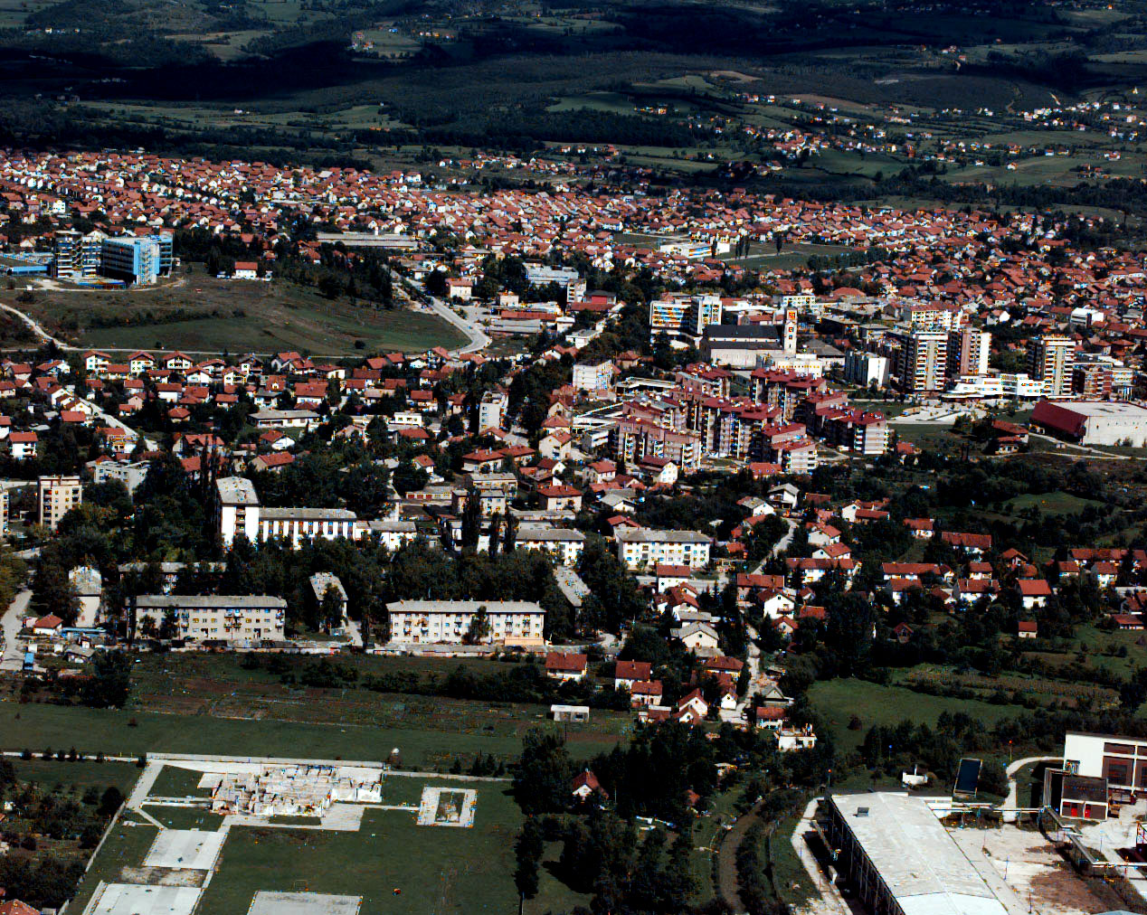
Map of Goruša
Interactive Map
Recent Nearby Earthquakes
Magnitude 3.0 and greater
| Date▼ | Time↕ | Magnitude↕ | Distance↕ | Depth↕ | Location↕ | Link |
|---|---|---|---|---|---|---|
| 8/15/18 | 8:06 PM | 3.5 | 38.8 km | 10,000 m | 6km N of Lokvine, Bosnia and Herzegovina | usgs.gov |
| 10/25/17 | 10:58 PM | 4 | 34.1 km | 5,950 m | 12km SSW of Prozor, Bosnia and Herzegovina | usgs.gov |
| 10/25/17 | 10:50 PM | 4.3 | 30.6 km | 11,600 m | 8km S of Rumboci, Bosnia and Herzegovina | usgs.gov |
| 10/25/17 | 10:46 PM | 4.1 | 32.8 km | 10,000 m | 10km SSW of Prozor, Bosnia and Herzegovina | usgs.gov |
| 4/28/15 | 4:16 PM | 4 | 55.1 km | 9,480 m | 7km SE of Maslovare, Bosnia and Herzegovina | usgs.gov |
| 6/19/14 | 1:52 PM | 4.3 | 42.3 km | 29,010 m | 4km E of Livno, Bosnia and Herzegovina | usgs.gov |
| 5/20/13 | 9:24 AM | 4.4 | 36.9 km | 10,000 m | Bosnia and Herzegovina | usgs.gov |
| 10/8/12 | 12:18 PM | 4.4 | 35 km | 10,000 m | Bosnia and Herzegovina | usgs.gov |
| 7/30/12 | 9:01 AM | 4.2 | 36.3 km | 12,000 m | Bosnia and Herzegovina | usgs.gov |
| 7/27/12 | 11:12 PM | 4.5 | 33.5 km | 10,000 m | Bosnia and Herzegovina | usgs.gov |
Source: U.S. Geological Survey (USGS)
Goruša
Goruša (Serbian: Горуша) is a village in the municipality of Bugojno, Bosnia and Herzegovina.
Goruša Wikipedia Page


About Our Data
The data on this page is estimated using a number of publicly available tools and resources. It is provided without warranty, and could contain inaccuracies. Use at your own risk.