Kalenderi Facts
| Local Time | |
| Timezone | Central European Summer Time |
| Lat & Lng | 45.16422, 16.57398 |
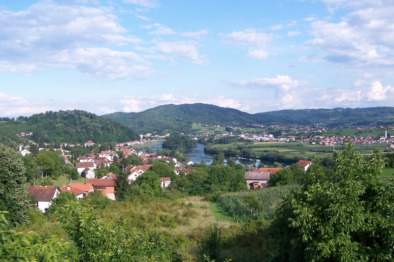
Map of Kalenderi
Interactive Map
Recent Nearby Earthquakes
Magnitude 3.0 and greater
| Date▼ | Time↕ | Magnitude↕ | Distance↕ | Depth↕ | Location↕ | Link |
|---|---|---|---|---|---|---|
| 5/24/18 | 1:40 PM | 3.4 | 44.3 km | 10,000 m | 16km ENE of Lamovita, Bosnia and Herzegovina | usgs.gov |
| 10/2/14 | 4:43 AM | 3.9 | 15.3 km | 10,000 m | 7km WNW of Dobrljin, Bosnia and Herzegovina | usgs.gov |
| 8/30/14 | 6:16 PM | 3.9 | 83.4 km | 18,140 m | 27km SE of Orasac, Bosnia and Herzegovina | usgs.gov |
| 1/28/14 | 12:03 AM | 3.9 | 46.6 km | 8,990 m | 17km NW of Laktasi, Bosnia and Herzegovina | usgs.gov |
| 8/18/11 | 1:17 AM | 3.6 | 62.2 km | 10,000 m | Bosnia and Herzegovina | usgs.gov |
| 4/28/11 | 11:30 PM | 4.2 | 68.4 km | 9,300 m | Bosnia and Herzegovina | usgs.gov |
| 3/21/11 | 12:04 AM | 3.6 | 57.3 km | 8,000 m | Bosnia and Herzegovina | usgs.gov |
| 3/5/08 | 7:41 PM | 3.5 | 75.5 km | 10,000 m | Croatia | usgs.gov |
| 8/15/07 | 10:43 AM | 3.4 | 50 km | 10,000 m | Bosnia and Herzegovina | usgs.gov |
| 3/19/07 | 9:43 AM | 3.6 | 7 km | 21,000 m | Bosnia and Herzegovina | usgs.gov |
Source: U.S. Geological Survey (USGS)
Kalenderi
Kalenderi (Cyrillic: Календери) is a village in the municipality of Novi Grad, Republika Srpska, Bosnia and Herzegovina.
Kalenderi Wikipedia Page

About Our Data
The data on this page is estimated using a number of publicly available tools and resources. It is provided without warranty, and could contain inaccuracies. Use at your own risk.