Kasindo Facts
| Local Time | |
| Timezone | Central European Summer Time |
| Lat & Lng | 43.79793, 18.38847 |
Map of Kasindo
Interactive Map
Recent Nearby Earthquakes
Magnitude 3.0 and greater
| Date▼ | Time↕ | Magnitude↕ | Distance↕ | Depth↕ | Location↕ | Link |
|---|---|---|---|---|---|---|
| 5/26/19 | 3:25 PM | 3.1 | 68.5 km | 10,000 m | 8km W of Nevesinje, Bosnia and Herzegovina | usgs.gov |
| 4/12/15 | 12:05 AM | 4.1 | 15.1 km | 3,600 m | 5km S of Koran, Bosnia and Herzegovina | usgs.gov |
| 2/28/15 | 8:24 AM | 4.1 | 25.5 km | 5,000 m | 21km SSE of Gracanica, Bosnia and Herzegovina | usgs.gov |
| 5/4/14 | 11:29 PM | 4 | 73.5 km | 18,690 m | 5km SW of Gacko, Bosnia and Herzegovina | usgs.gov |
| 2/3/13 | 3:37 AM | 4 | 64.5 km | 10,000 m | Bosnia and Herzegovina | usgs.gov |
| 1/25/13 | 6:52 PM | 4 | 64.4 km | 10,000 m | Bosnia and Herzegovina | usgs.gov |
| 7/27/12 | 11:12 PM | 4.5 | 58 km | 10,000 m | Bosnia and Herzegovina | usgs.gov |
| 9/17/11 | 6:52 AM | 3.3 | 36.1 km | 11,300 m | Bosnia and Herzegovina | usgs.gov |
| 3/31/09 | 1:46 AM | 4.1 | 5.2 km | 5,000 m | Bosnia and Herzegovina | usgs.gov |
| 3/30/09 | 1:27 PM | 3.9 | 21.2 km | 2,000 m | Bosnia and Herzegovina | usgs.gov |
Source: U.S. Geological Survey (USGS)
Kasindo
Kasindo is a part of the city of East Sarajevo in East Ilidža municipality, Republika Srpska, Bosnia and Herzegovina. Kasindo is also the old name for this municipality. The clinical center of East Sarajevo is in this part of the city.
Kasindo Wikipedia Page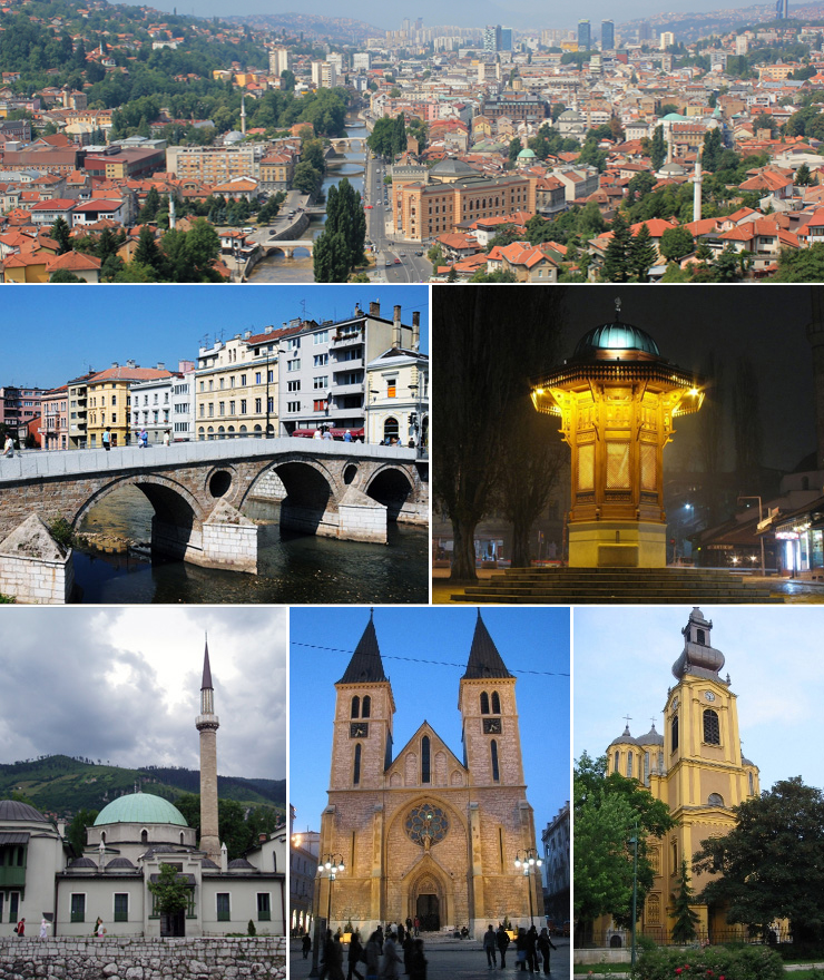


About Our Data
The data on this page is estimated using a number of publicly available tools and resources. It is provided without warranty, and could contain inaccuracies. Use at your own risk.