Kozara Facts
| Local Time | |
| Timezone | Central European Summer Time |
| Lat & Lng | 44.99939, 17.06328 |
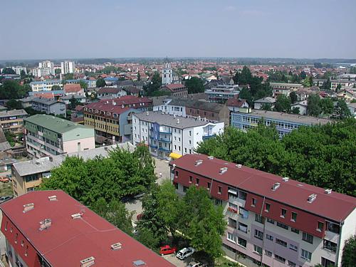
Map of Kozara
Interactive Map
Recent Nearby Earthquakes
Magnitude 3.0 and greater
| Date▼ | Time↕ | Magnitude↕ | Distance↕ | Depth↕ | Location↕ | Link |
|---|---|---|---|---|---|---|
| 5/24/18 | 1:40 PM | 3.4 | 1.7 km | 10,000 m | 16km ENE of Lamovita, Bosnia and Herzegovina | usgs.gov |
| 4/28/15 | 4:16 PM | 4 | 68 km | 9,480 m | 7km SE of Maslovare, Bosnia and Herzegovina | usgs.gov |
| 10/2/14 | 4:43 AM | 3.9 | 57 km | 10,000 m | 7km WNW of Dobrljin, Bosnia and Herzegovina | usgs.gov |
| 1/28/14 | 12:03 AM | 3.9 | 4.6 km | 8,990 m | 17km NW of Laktasi, Bosnia and Herzegovina | usgs.gov |
| 8/18/11 | 1:17 AM | 3.6 | 21 km | 10,000 m | Bosnia and Herzegovina | usgs.gov |
| 4/28/11 | 11:30 PM | 4.2 | 27.4 km | 9,300 m | Bosnia and Herzegovina | usgs.gov |
| 3/21/11 | 12:04 AM | 3.6 | 16.2 km | 8,000 m | Bosnia and Herzegovina | usgs.gov |
| 8/15/07 | 10:43 AM | 3.4 | 8.4 km | 10,000 m | Bosnia and Herzegovina | usgs.gov |
| 3/19/07 | 9:43 AM | 3.6 | 37.6 km | 21,000 m | Bosnia and Herzegovina | usgs.gov |
| 3/16/06 | 11:28 AM | 3.2 | 77 km | 15,000 m | Bosnia and Herzegovina | usgs.gov |
Source: U.S. Geological Survey (USGS)
Kozara
Kozara (Козара) is a mountain in western Bosnia and Herzegovina, in the Bosanska Krajina region, bounded by the Sava River to the north, the Vrbas to the east, the Sana to the south, and the Una to the west. Its tallest peak is Lisina (978 m). In 194..
Kozara Wikipedia Page


About Our Data
The data on this page is estimated using a number of publicly available tools and resources. It is provided without warranty, and could contain inaccuracies. Use at your own risk.