Kuljani Facts
| Local Time | |
| Timezone | Central European Summer Time |
| Lat & Lng | 44.84583, 17.19974 |
Map of Kuljani
Interactive Map
Price Distribution
Business distribution by price for Kuljani
Recent Nearby Earthquakes
Magnitude 3.0 and greater
| Date▼ | Time↕ | Magnitude↕ | Distance↕ | Depth↕ | Location↕ | Link |
|---|---|---|---|---|---|---|
| 5/24/18 | 1:40 PM | 3.4 | 19.1 km | 10,000 m | 16km ENE of Lamovita, Bosnia and Herzegovina | usgs.gov |
| 4/28/15 | 4:16 PM | 4 | 48 km | 9,480 m | 7km SE of Maslovare, Bosnia and Herzegovina | usgs.gov |
| 1/28/14 | 12:03 AM | 3.9 | 18.7 km | 8,990 m | 17km NW of Laktasi, Bosnia and Herzegovina | usgs.gov |
| 8/18/11 | 1:17 AM | 3.6 | 20.1 km | 10,000 m | Bosnia and Herzegovina | usgs.gov |
| 4/28/11 | 11:30 PM | 4.2 | 7.7 km | 9,300 m | Bosnia and Herzegovina | usgs.gov |
| 3/21/11 | 12:04 AM | 3.6 | 4.1 km | 8,000 m | Bosnia and Herzegovina | usgs.gov |
| 8/15/07 | 10:43 AM | 3.4 | 18.1 km | 10,000 m | Bosnia and Herzegovina | usgs.gov |
| 3/19/07 | 9:43 AM | 3.6 | 56.5 km | 21,000 m | Bosnia and Herzegovina | usgs.gov |
| 3/16/06 | 11:28 AM | 3.2 | 57.4 km | 15,000 m | Bosnia and Herzegovina | usgs.gov |
| 8/26/05 | 3:52 PM | 3 | 32.1 km | 10,000 m | Bosnia and Herzegovina | usgs.gov |
Source: U.S. Geological Survey (USGS)
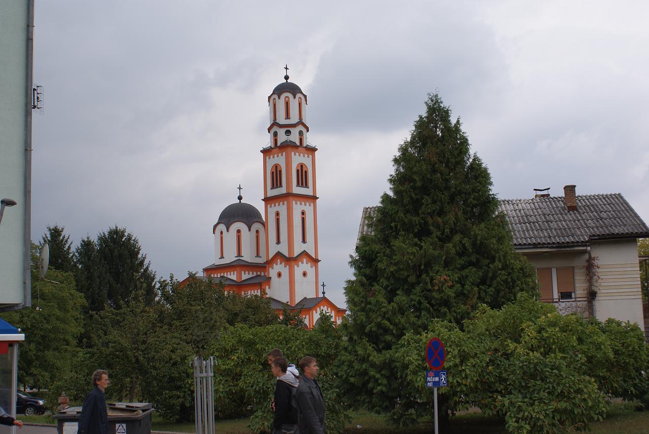
Kuljani
Kuljani (Serbian Cyrillic: Куљани) is village in the municipality of Banja Luka, Republika Srpska, Bosnia and Herzegovina. It lies about 10 km north from the city on the left side of the river Vrbas.
Kuljani Wikipedia Page


About Our Data
The data on this page is estimated using a number of publicly available tools and resources. It is provided without warranty, and could contain inaccuracies. Use at your own risk.