Ljenobud Facts
| Local Time | |
| Timezone | Central European Summer Time |
| Lat & Lng | 44.06667, 18.53333 |
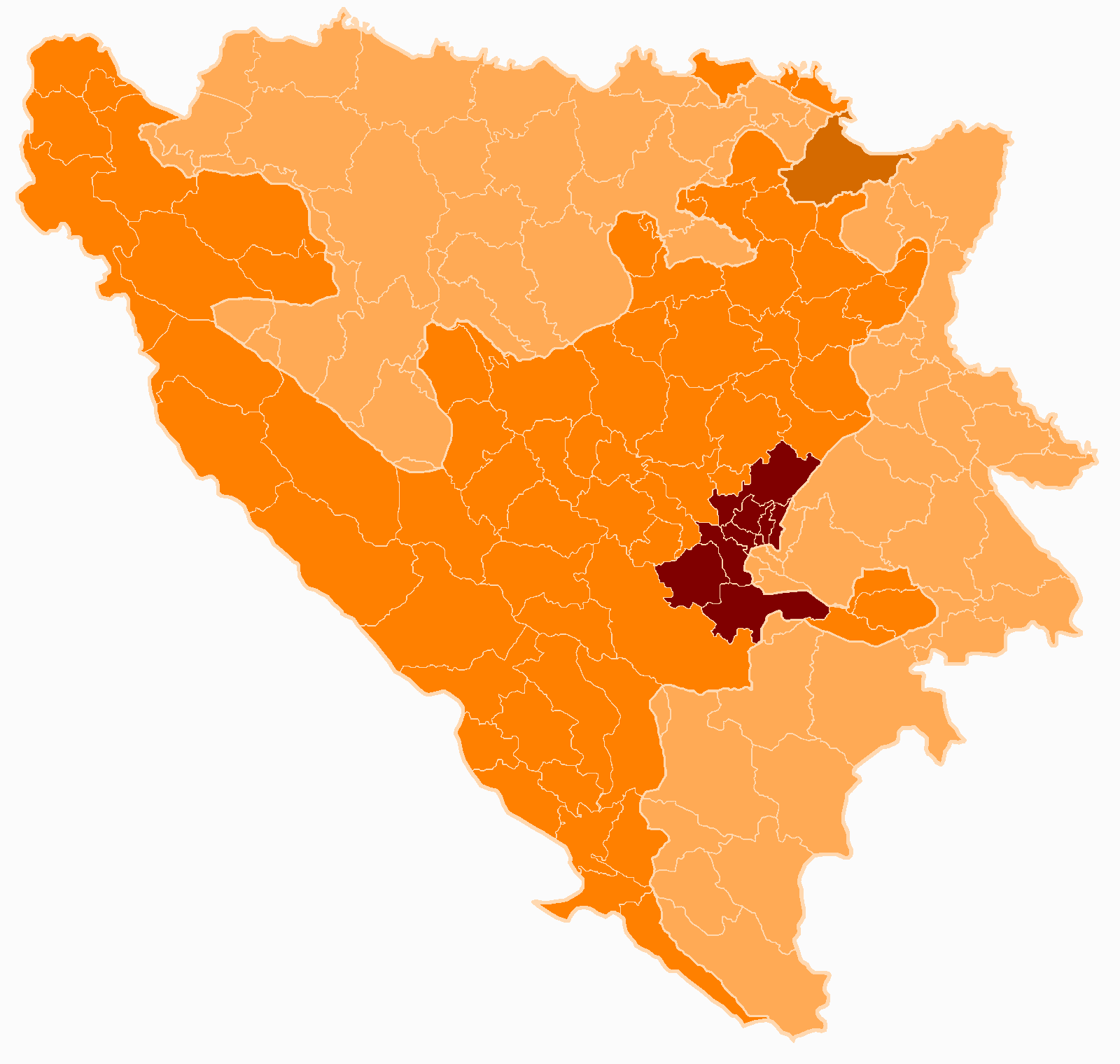
Map of Ljenobud
Interactive Map
Recent Nearby Earthquakes
Magnitude 3.0 and greater
| Date▼ | Time↕ | Magnitude↕ | Distance↕ | Depth↕ | Location↕ | Link |
|---|---|---|---|---|---|---|
| 7/21/19 | 9:07 AM | 4.2 | 79 km | 10,000 m | 8km SSE of Cajnice, Bosnia and Herzegovina | usgs.gov |
| 7/21/19 | 7:05 AM | 4.2 | 69.7 km | 10,000 m | 4km WSW of Srebrenik, Bosnia and Herzegovina | usgs.gov |
| 8/15/18 | 8:06 PM | 3.5 | 58.2 km | 10,000 m | 6km N of Lokvine, Bosnia and Herzegovina | usgs.gov |
| 4/12/15 | 12:05 AM | 4.1 | 34.1 km | 3,600 m | 5km S of Koran, Bosnia and Herzegovina | usgs.gov |
| 2/28/15 | 8:24 AM | 4.1 | 55.8 km | 5,000 m | 21km SSE of Gracanica, Bosnia and Herzegovina | usgs.gov |
| 2/21/15 | 9:21 PM | 3.6 | 52.3 km | 3,100 m | 7km ESE of Tojsici, Bosnia and Herzegovina | usgs.gov |
| 7/30/12 | 9:01 AM | 4.2 | 57.7 km | 12,000 m | Bosnia and Herzegovina | usgs.gov |
| 7/27/12 | 11:12 PM | 4.5 | 53.7 km | 10,000 m | Bosnia and Herzegovina | usgs.gov |
| 9/17/11 | 6:52 AM | 3.3 | 64.1 km | 11,300 m | Bosnia and Herzegovina | usgs.gov |
| 3/18/10 | 5:28 PM | 4 | 53.1 km | 2,000 m | Bosnia and Herzegovina | usgs.gov |
Source: U.S. Geological Survey (USGS)
Ljenobud
Ljenobud is a village in Bosnia and Herzegovina. According to the 1991 census, the village is located in the municipality of Srebrenik.
Ljenobud Wikipedia Page

About Our Data
The data on this page is estimated using a number of publicly available tools and resources. It is provided without warranty, and could contain inaccuracies. Use at your own risk.