Začula Facts
| Local Time | |
| Timezone | Central European Summer Time |
| Lat & Lng | 42.72222, 18.15835 |
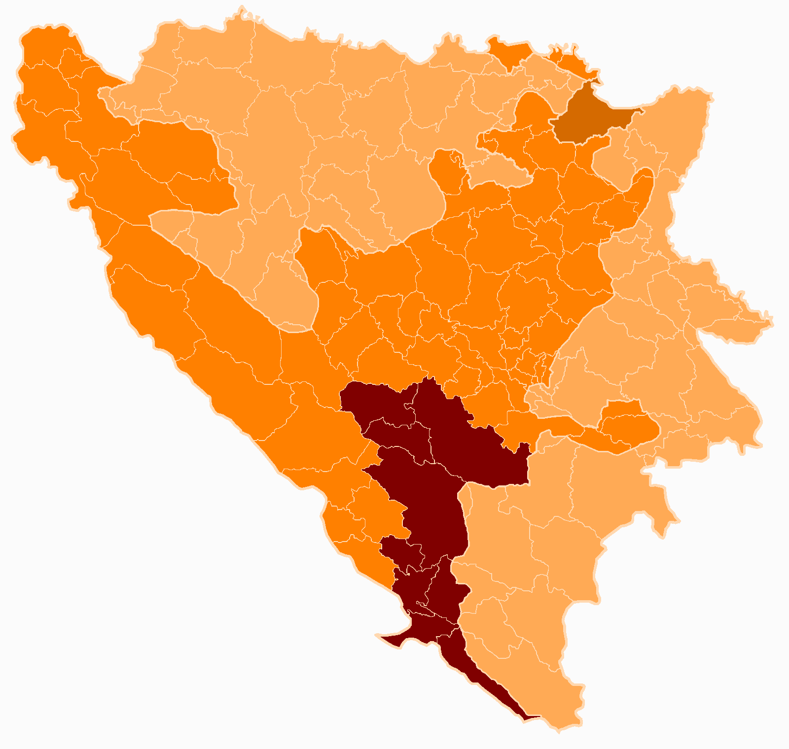
Map of Začula
Interactive Map
Recent Nearby Earthquakes
Magnitude 3.0 and greater
| Date▼ | Time↕ | Magnitude↕ | Distance↕ | Depth↕ | Location↕ | Link |
|---|---|---|---|---|---|---|
| 11/9/16 | 3:58 PM | 4.4 | 28.8 km | 19,930 m | 5km SE of Bileca, Bosnia and Herzegovina | usgs.gov |
| 2/27/16 | 2:50 AM | 3.5 | 33.9 km | 10,000 m | 8km N of Igalo, Montenegro | usgs.gov |
| 5/1/15 | 9:25 PM | 4 | 19.3 km | 2,000 m | 11km SE of Podgora, Croatia | usgs.gov |
| 9/30/14 | 3:12 PM | 4.4 | 38.6 km | 4,000 m | 17km NE of Ljubinje, Bosnia and Herzegovina | usgs.gov |
| 12/14/11 | 7:47 PM | 4.3 | 30.4 km | 10,000 m | Bosnia and Herzegovina | usgs.gov |
| 3/31/08 | 12:14 AM | 4.2 | 13 km | 9,000 m | Croatia | usgs.gov |
| 2/19/06 | 8:55 PM | 3 | 31.1 km | 11,000 m | Bosnia and Herzegovina | usgs.gov |
| 11/10/05 | 4:55 PM | 3.5 | 29.4 km | 3,100 m | Croatia | usgs.gov |
| 9/14/05 | 10:43 AM | 3.1 | 38.5 km | 6,900 m | Bosnia and Herzegovina | usgs.gov |
| 10/25/04 | 8:06 AM | 3 | 24.8 km | 11,000 m | Bosnia and Herzegovina | usgs.gov |
Source: U.S. Geological Survey (USGS)
Začula
Začula (Serbian Cyrillic: Зачула) is a village in the municipality of Ravno, Bosnia and Herzegovina. In the 1991 census it had 23 inhabitants, all of them being Serbs. Prior the war in Bosnia and Herzegovina it belonged to Trebinje municipality.
Začula Wikipedia Page

About Our Data
The data on this page is estimated using a number of publicly available tools and resources. It is provided without warranty, and could contain inaccuracies. Use at your own risk.