Categories in Cotoca
Car repairCar Repair and MaintenanceGas StationMechanicMotorcycle repairFarmingImport Export CompanyIndustrial & Construction ManufacturingPoultry FarmClothing storesRadio BroadcasterChristian ChurchChurchesCommunity CenterGovernment OfficeNon-Profit OrganizationReligionRetirement HomeSocial Services OrganizationSpiritist CenterBuilding Construction ContractorConstruction of buildingsConstruction of housesHardware storeHome Goods StoreHousing DevelopmentTool StoreEducationEducation CenterHigh SchoolHome HelpStadiums and arenasTourist AttractionBakeriesBars, pubs and tavernsBreakfast and brunchBurger restaurantsButcherCafesCake ShopChicken RestaurantCoffee ShopFamily RestaurantFast food restaurantsFood delivery servicesGrocery stores and supermarketsIce Cream ShopInternet cafesRestaurantsBeauty aidsNurseries and garden suppliesTailorAtm'sBanksCemeteryCommunity Health CenterHospitalsMedical CenterVeterinarianBarbersBeauty salonsFitness centersHair SalonBusiness Management ConsultantBusiness to Business ServiceApartment BuildingApartment ComplexCommercial real estateCondominium ComplexCountry HouseFunction Room FacilityGated CommunityHousing ComplexLand AllotmentReal Estate AgencyReal Estate AgentsTownhouse ComplexBook stores and newsstandsConvenience storesGarden CenterGeneral StoreLiquor StoreMarketPharmacyPlant NurseryRanchRussian grocery storeShoppingShopping MallSupermarketWholesale Plant NurseryCampgroundCamping cabinGymPlaygroundPublic parksPublic swimming poolsRecreation CenterSoccer FieldSports clubCottageHoliday HomeHotels and motelsHousing SocietyLodgingTaxi StandTransportation ServiceVillaWarehouseUnreachable
Industries
Business Distribution by Industry in Cotoca
| Industry Description | Number of Establishments | Average Google Rating |
|---|---|---|
| Shopping | 5 | 4 |
| Grocery stores and supermarkets | 5 | 3.9 |
Cotoca Facts
| Area Codes | 3 |
| Neighborhoods | Comunidad Don Lorenzo |
| Local Time | |
| Timezone | Bolivia Time |
| Lat & Lng | -17.74959, -62.83442 |
Map of Cotoca
Interactive Map
Area Codes
Percentage Area Codes used by businesses in Cotoca
Recent Nearby Earthquakes
Magnitude 3.0 and greater
| Date▼ | Time↕ | Magnitude↕ | Distance↕ | Depth↕ | Location↕ | Link |
|---|---|---|---|---|---|---|
| 12/21/15 | 4:21 PM | 4.9 | 68.2 km | 35,490 m | 5km ESE of Jorochito, Bolivia | usgs.gov |
| 2/2/15 | 11:58 PM | 4 | 97.9 km | 41,390 m | 41km NE of Abapo, Bolivia | usgs.gov |
| 7/18/14 | 8:33 AM | 4.5 | 72.6 km | 36,180 m | 14km SSW of Portachuelo, Bolivia | usgs.gov |
| 10/15/13 | 8:15 PM | 4.9 | 94.1 km | 43,180 m | 43km NE of Abapo, Bolivia | usgs.gov |
| 10/15/13 | 8:13 PM | 5 | 95.3 km | 38,200 m | 42km NNE of Abapo, Bolivia | usgs.gov |
| 4/13/13 | 5:21 PM | 4.6 | 48.2 km | 39,500 m | 8km NNE of Warnes, Bolivia | usgs.gov |
| 12/15/09 | 4:39 PM | 4.5 | 68.8 km | 32,200 m | Santa Cruz, Bolivia | usgs.gov |
| 5/29/06 | 3:22 AM | 4.4 | 85.5 km | 35,000 m | Santa Cruz, Bolivia | usgs.gov |
| 7/19/04 | 2:57 AM | 4.7 | 50.1 km | 17,000 m | Santa Cruz, Bolivia | usgs.gov |
| 1/7/04 | 11:01 AM | 4.5 | 77.1 km | 45,000 m | Santa Cruz, Bolivia | usgs.gov |
Source: U.S. Geological Survey (USGS)
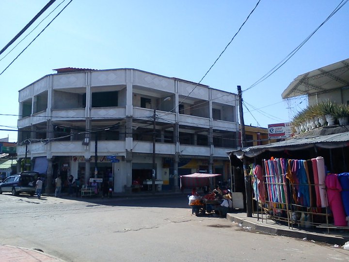
Cotoca
Cotoca is a canton and Municipality of Andrés Ibáñez Province in Santa Cruz Department, Bolivia. The municipality consists of two cantons - Cotoco itself and Puerto Pailas. In 2010 it had an estimated population of 23,951 for the canton and 56,451 fo..
Cotoca Wikipedia Page

About Our Data
The data on this page is estimated using a number of publicly available tools and resources. It is provided without warranty, and could contain inaccuracies. Use at your own risk.