Daga, Bhutan Facts
| Area Codes | 6 |
| Local Time | |
| Timezone | Bhutan Time |
| Lat & Lng | 27.07529, 89.87688 |
Map of Daga, Bhutan
Interactive Map
Recent Nearby Earthquakes
Magnitude 3.0 and greater
| Date▼ | Time↕ | Magnitude↕ | Distance↕ | Depth↕ | Location↕ | Link |
|---|---|---|---|---|---|---|
| 1/16/19 | 11:56 PM | 3.8 | 96.8 km | 10,000 m | 27km NW of Samtse, Bhutan | usgs.gov |
| 9/12/18 | 4:50 AM | 5.3 | 83 km | 10,000 m | 6km NE of Sapatgram, India | usgs.gov |
| 3/21/18 | 10:58 PM | 4 | 84.4 km | 10,000 m | 15km SSW of Goshaingaon, India | usgs.gov |
| 5/24/17 | 3:16 AM | 4.4 | 57.7 km | 28,390 m | 28km E of Wangdue Phodrang, Bhutan | usgs.gov |
| 3/7/17 | 10:28 AM | 4 | 77.7 km | 10,000 m | 2km NE of Samtse, Bhutan | usgs.gov |
| 3/12/16 | 4:15 PM | 3.9 | 84.8 km | 14,880 m | 9km NW of Birpara, India | usgs.gov |
| 2/13/16 | 9:37 PM | 3.7 | 68.6 km | 50,320 m | 16km NNE of Samtse, Bhutan | usgs.gov |
| 7/10/15 | 12:53 PM | 4.3 | 85.1 km | 19,670 m | 20km NNE of Bongaigaon, India | usgs.gov |
| 6/28/15 | 1:05 AM | 5.1 | 71.8 km | 26,000 m | 19km N of Basugaon, India | usgs.gov |
| 11/17/14 | 2:06 AM | 4.2 | 65.4 km | 31,870 m | 19km W of Trongsa, Bhutan | usgs.gov |
Source: U.S. Geological Survey (USGS)
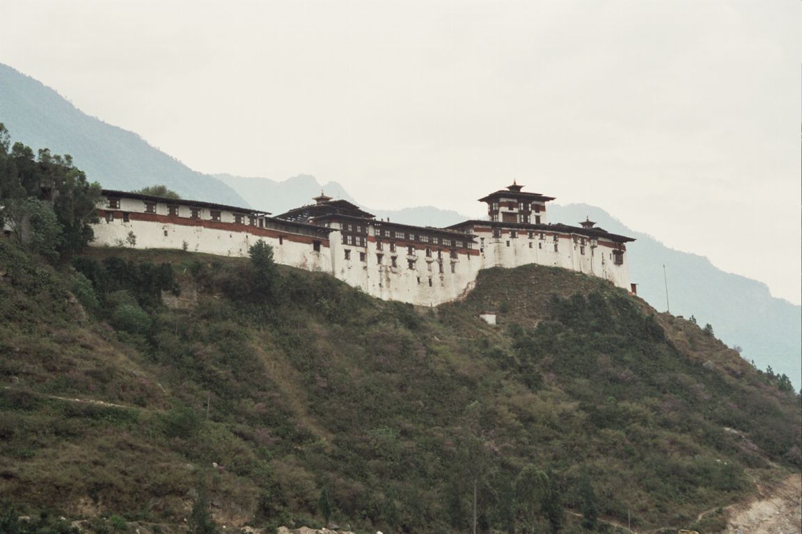
Daga, Bhutan
Daga is a town in Goshi Gewog, Dagana District in southwestern Bhutan. It is the administrative capital (dzongkhag thromde) of the district. 2005, Daga had a population of 1,146.
Daga, Bhutan Wikipedia Page

About Our Data
The data on this page is estimated using a number of publicly available tools and resources. It is provided without warranty, and could contain inaccuracies. Use at your own risk.