Daphu Facts
| Local Time | |
| Timezone | Bhutan Time |
| Lat & Lng | 26.96667, 89.38333 |
Map of Daphu
Interactive Map
Recent Nearby Earthquakes
Magnitude 3.0 and greater
| Date▼ | Time↕ | Magnitude↕ | Distance↕ | Depth↕ | Location↕ | Link |
|---|---|---|---|---|---|---|
| 1/16/19 | 11:56 PM | 3.8 | 49.4 km | 10,000 m | 27km NW of Samtse, Bhutan | usgs.gov |
| 3/21/18 | 10:58 PM | 4 | 88.9 km | 10,000 m | 15km SSW of Goshaingaon, India | usgs.gov |
| 5/24/17 | 3:16 AM | 4.4 | 100 km | 28,390 m | 28km E of Wangdue Phodrang, Bhutan | usgs.gov |
| 3/26/17 | 9:42 PM | 4.5 | 84.6 km | 24,390 m | 5km SSE of Rangpo, India | usgs.gov |
| 3/7/17 | 10:28 AM | 4 | 27.3 km | 10,000 m | 2km NE of Samtse, Bhutan | usgs.gov |
| 3/12/16 | 4:15 PM | 3.9 | 35.9 km | 14,880 m | 9km NW of Birpara, India | usgs.gov |
| 2/13/16 | 9:37 PM | 3.7 | 20.5 km | 50,320 m | 16km NNE of Samtse, Bhutan | usgs.gov |
| 10/10/15 | 1:48 AM | 4.3 | 66 km | 48,220 m | 20km ESE of Gangtok, India | usgs.gov |
| 7/22/14 | 11:35 PM | 4 | 82.3 km | 14,910 m | 13km SE of Koch Bihar, India | usgs.gov |
| 5/30/14 | 6:37 AM | 4 | 95.4 km | 10,000 m | 18km NNW of Kokrajhar, India | usgs.gov |
Source: U.S. Geological Survey (USGS)
Daphu
Daphu is a town in Chukha District in southwestern Bhutan. the 2005 census, its population was 1,666.
Daphu Wikipedia Page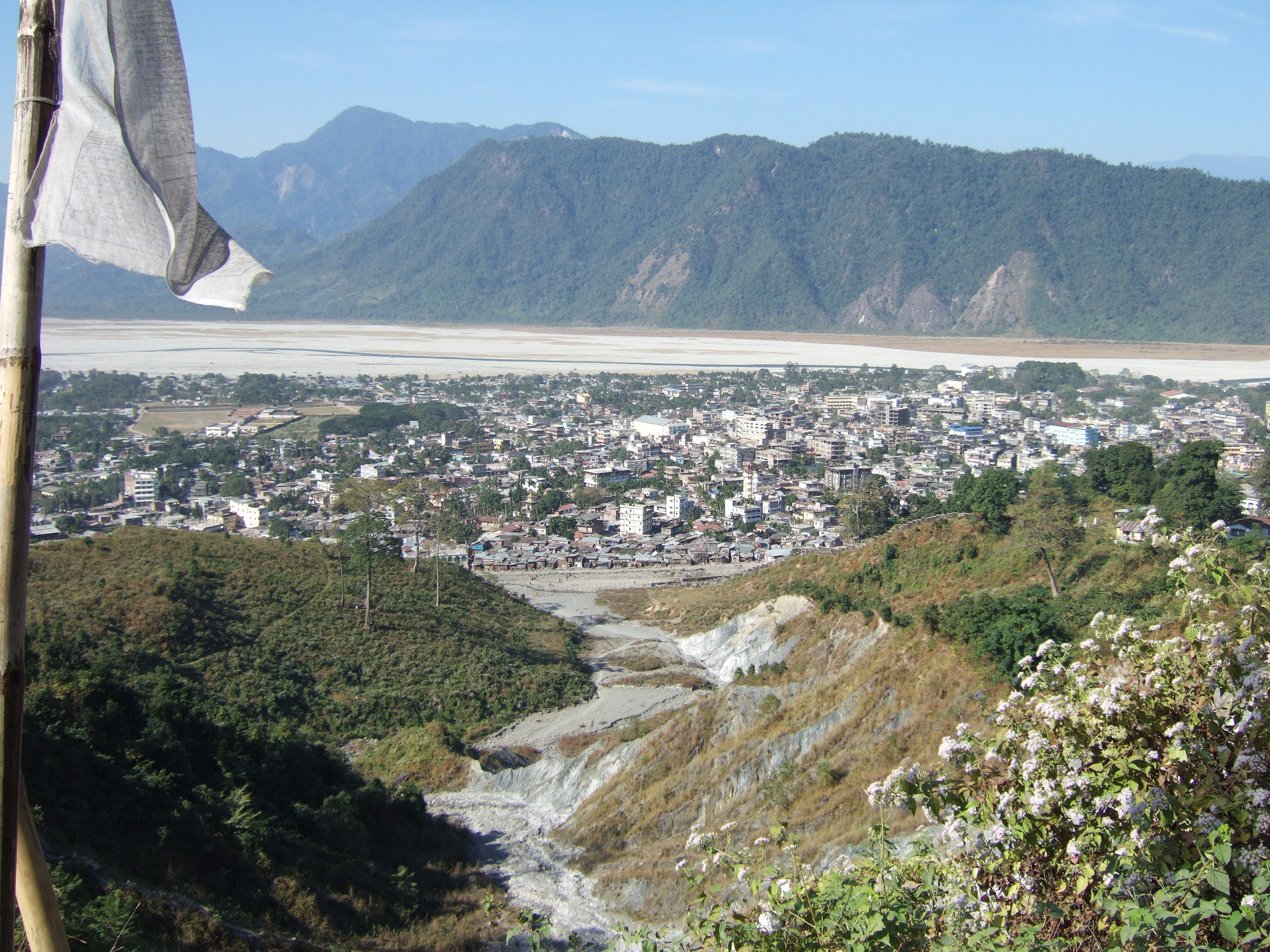

About Our Data
The data on this page is estimated using a number of publicly available tools and resources. It is provided without warranty, and could contain inaccuracies. Use at your own risk.