Ha, Bhutan Facts
| Area Codes | 8 |
| Local Time | |
| Timezone | Bhutan Time |
| Lat & Lng | 27.38747, 89.28074 |
Map of Ha, Bhutan
Interactive Map
Recent Nearby Earthquakes
Magnitude 3.0 and greater
| Date▼ | Time↕ | Magnitude↕ | Distance↕ | Depth↕ | Location↕ | Link |
|---|---|---|---|---|---|---|
| 1/16/19 | 11:56 PM | 3.8 | 51 km | 10,000 m | 27km NW of Samtse, Bhutan | usgs.gov |
| 6/17/18 | 3:07 PM | 4.4 | 79.9 km | 49,760 m | 12km SSW of Mangan, India | usgs.gov |
| 5/24/17 | 3:16 AM | 4.4 | 90.3 km | 28,390 m | 28km E of Wangdue Phodrang, Bhutan | usgs.gov |
| 3/26/17 | 9:42 PM | 4.5 | 77 km | 24,390 m | 5km SSE of Rangpo, India | usgs.gov |
| 3/7/17 | 10:28 AM | 4 | 54.8 km | 10,000 m | 2km NE of Samtse, Bhutan | usgs.gov |
| 3/12/16 | 4:15 PM | 3.9 | 70.4 km | 14,880 m | 9km NW of Birpara, India | usgs.gov |
| 2/13/16 | 9:37 PM | 3.7 | 41 km | 50,320 m | 16km NNE of Samtse, Bhutan | usgs.gov |
| 10/10/15 | 1:48 AM | 4.3 | 49.7 km | 48,220 m | 20km ESE of Gangtok, India | usgs.gov |
| 12/4/13 | 1:05 PM | 4.7 | 92.9 km | 13,600 m | 27km SE of Hasimara, India | usgs.gov |
| 10/3/13 | 6:12 AM | 5.2 | 87.6 km | 9,870 m | 11km WNW of Singtam, India | usgs.gov |
Source: U.S. Geological Survey (USGS)
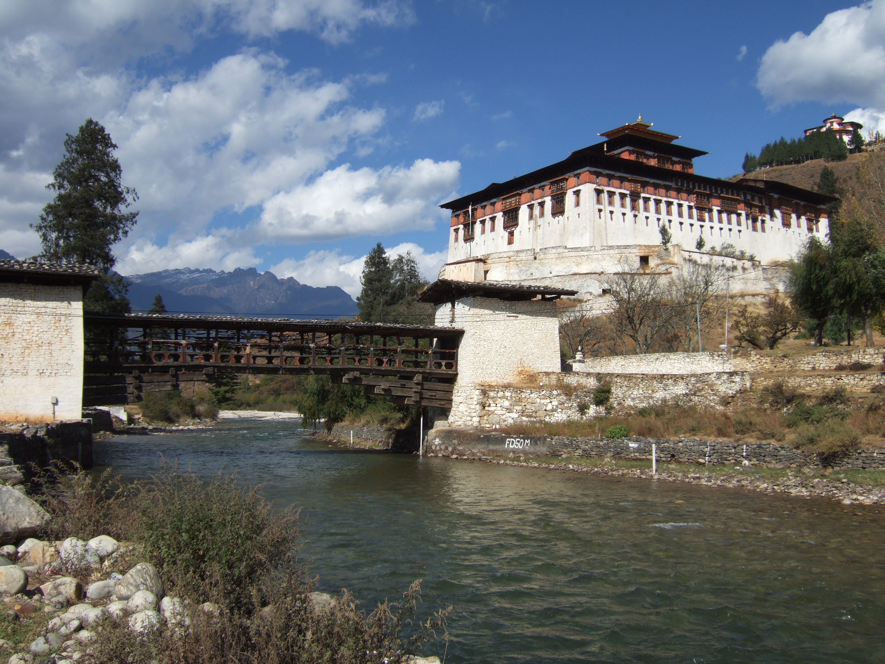
Ha, Bhutan
Ha or Has is a town and seat of Haa District in Bhutan. is situated in the west of the Sandalwood Kingdom near Sikkim in the Ha Valley. The major economic activity is rice production. It contains two Buddhist temples.
Ha, Bhutan Wikipedia Page

About Our Data
The data on this page is estimated using a number of publicly available tools and resources. It is provided without warranty, and could contain inaccuracies. Use at your own risk.