Categories in Paro, Bhutan
Car repairCar WashGas StationFarmingHandicraftHandicrafts WholesalerClothing storesBuddhist templeGovernment OfficeLocal Government OfficeMonasteryPublic BathroomReligionReligious DestinationElectronics StoreHardware storeCollegeEducationEducation CenterKindergartenMiddle SchoolPrimary SchoolMuseumsTourist AttractionAsian RestaurantBakeriesBars, pubs and tavernsBreakfast and brunchCafesCoffee ShopFast food restaurantsGrocery stores and supermarketsIndian restaurantsLoungeRestaurantsAtm'sBanksHospitalsBeauty salonsDay spaMassage SpaApartment BuildingApartment ComplexCondominium ComplexHousing ComplexConvenience storesGeneral StoreGift ShopShoppingShopping MallSouvenir StoreAdventure & Outdoor ActivitiesPlaygroundPublic parksSports clubAirportBed and breakfastsHotelsHotels and motelsHousing SocietyLodgingResortTour AgencyTour OperatorTravel AgencyVillaUnreachable
Industries
Business Distribution by Industry in Paro, Bhutan
| Industry Description | Number of Establishments | Average Google Rating |
|---|---|---|
| Other accommodation | 33 | 4.2 |
| Hotels and motels | 32 | 4.3 |
| Holiday homes, cabins and resorts | 20 | 4.1 |
| Education | 16 | 4.2 |
| Religion | 16 | 4.7 |
| Secondary education | 11 | 4.1 |
Paro, Bhutan Facts
| Area Codes | 8 |
| Neighborhoods | Paro Taktshang |
| Local Time | |
| Timezone | Bhutan Time |
| Lat & Lng | 27.43050, 89.41334 |
Map of Paro, Bhutan
Interactive Map
Area Codes
Percentage Area Codes used by businesses in Paro, Bhutan
Price Distribution
Business distribution by price for Paro, Bhutan
Recent Nearby Earthquakes
Magnitude 3.0 and greater
| Date▼ | Time↕ | Magnitude↕ | Distance↕ | Depth↕ | Location↕ | Link |
|---|---|---|---|---|---|---|
| 1/16/19 | 11:56 PM | 3.8 | 64.1 km | 10,000 m | 27km NW of Samtse, Bhutan | usgs.gov |
| 6/17/18 | 3:07 PM | 4.4 | 92.9 km | 49,760 m | 12km SSW of Mangan, India | usgs.gov |
| 5/24/17 | 3:16 AM | 4.4 | 76.6 km | 28,390 m | 28km E of Wangdue Phodrang, Bhutan | usgs.gov |
| 3/26/17 | 9:42 PM | 4.5 | 90.9 km | 24,390 m | 5km SSE of Rangpo, India | usgs.gov |
| 3/7/17 | 10:28 AM | 4 | 64.2 km | 10,000 m | 2km NE of Samtse, Bhutan | usgs.gov |
| 3/12/16 | 4:15 PM | 3.9 | 79.4 km | 14,880 m | 9km NW of Birpara, India | usgs.gov |
| 2/13/16 | 9:37 PM | 3.7 | 50 km | 50,320 m | 16km NNE of Samtse, Bhutan | usgs.gov |
| 10/10/15 | 1:48 AM | 4.3 | 63.7 km | 48,220 m | 20km ESE of Gangtok, India | usgs.gov |
| 11/17/14 | 2:06 AM | 4.2 | 89 km | 31,870 m | 19km W of Trongsa, Bhutan | usgs.gov |
| 12/4/13 | 1:05 PM | 4.7 | 94.5 km | 13,600 m | 27km SE of Hasimara, India | usgs.gov |
Source: U.S. Geological Survey (USGS)
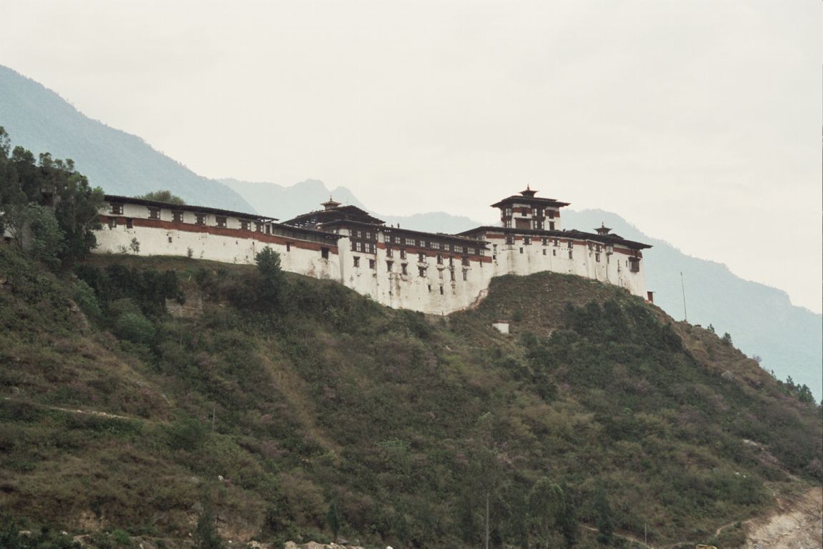
Paro, Bhutan
Paro (Dzongkha:སྤ་རོ་, Wylie: spa ro) is a town and seat of Paro District in the Paro Valley of Bhutan. It is home to Paro Airport, Bhutan's only international airport.
Paro, Bhutan Wikipedia Page


About Our Data
The data on this page is estimated using a number of publicly available tools and resources. It is provided without warranty, and could contain inaccuracies. Use at your own risk.