Tshalunang Facts
| Local Time | |
| Timezone | Bhutan Time |
| Lat & Lng | 27.43333, 89.65000 |
Map of Tshalunang
Interactive Map
Recent Nearby Earthquakes
Magnitude 3.0 and greater
| Date▼ | Time↕ | Magnitude↕ | Distance↕ | Depth↕ | Location↕ | Link |
|---|---|---|---|---|---|---|
| 1/16/19 | 11:56 PM | 3.8 | 84 km | 10,000 m | 27km NW of Samtse, Bhutan | usgs.gov |
| 5/24/17 | 3:16 AM | 4.4 | 53.4 km | 28,390 m | 28km E of Wangdue Phodrang, Bhutan | usgs.gov |
| 3/7/17 | 10:28 AM | 4 | 78.1 km | 10,000 m | 2km NE of Samtse, Bhutan | usgs.gov |
| 3/12/16 | 4:15 PM | 3.9 | 91.6 km | 14,880 m | 9km NW of Birpara, India | usgs.gov |
| 2/13/16 | 9:37 PM | 3.7 | 64.2 km | 50,320 m | 16km NNE of Samtse, Bhutan | usgs.gov |
| 10/10/15 | 1:48 AM | 4.3 | 86.3 km | 48,220 m | 20km ESE of Gangtok, India | usgs.gov |
| 11/17/14 | 2:06 AM | 4.2 | 65.8 km | 31,870 m | 19km W of Trongsa, Bhutan | usgs.gov |
| 12/4/13 | 1:05 PM | 4.7 | 94 km | 13,600 m | 27km SE of Hasimara, India | usgs.gov |
| 6/6/13 | 7:00 PM | 3.9 | 49 km | 10,000 m | 16km W of Gasa, Bhutan | usgs.gov |
| 10/29/11 | 12:43 AM | 3.5 | 95.5 km | 10,000 m | Sikkim, India | usgs.gov |
Source: U.S. Geological Survey (USGS)
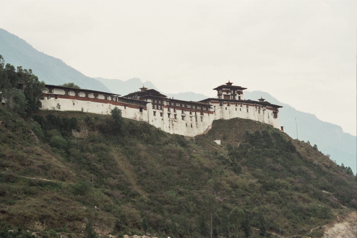
Tshalunang
Tshalunang is a village in central-western Bhutan. It is located 4 miles from the capital of Thimphu but is situated in Paro District. It lies at an altitude of 2388 metres. settlements include Thimphu (6.4 kilometers away), Tashi Chho Dzong (5.6 ki..
Tshalunang Wikipedia Page

About Our Data
The data on this page is estimated using a number of publicly available tools and resources. It is provided without warranty, and could contain inaccuracies. Use at your own risk.