Industries
Business Distribution by Industry in Buchans
| Industry Description | Number of Establishments |
|---|---|
| Religion | 6 |
Buchans Facts
| Area | 5.6 km² |
| Population | 733 |
| Male Population | 343 (46.8%) |
| Female Population | 390 (53.2%) |
| Population change (1975 to 2020) | +34.5% |
| Population change (2000 to 2020) | +11.2% |
| Median Age | 54.8 years (Male: 54.5, Female: 55) |
| Neighborhoods | Grand Falls |
| Local Time | |
| Timezone | Newfoundland Daylight Time |
| Lat & Lng | 48.82461, -56.85669 |
| Postal Codes | A0H |
Map of Buchans
Interactive Map
Buchans Population
Years 1975 to 2020
| Data | 1975 | 1990 | 2000 | 2015 | 2020 |
|---|---|---|---|---|---|
| Population | 545 | 620 | 659 | 712 | 733 |
| Population Density | 98 / km² | 111.5 / km² | 118.5 / km² | 128 / km² | 131.8 / km² |
Buchans Population change from 2000 to 2015
Increase of 8% from year 2000 to 2015
| Location | Change since 1975 | Change since 1990 | Change since 2000 |
|---|---|---|---|
| Buchans | +30.6% | +14.8% | +8% |
| Newfoundland and Labrador | +14.2% | +7.2% | +4.3% |
| Canada | +55.8% | +30.2% | +17.2% |
Buchans Median Age
Median Age: 54.8 years
| Location | Median Age | Median Age (Female) | Median Age (Male) |
|---|---|---|---|
| Buchans | 54.8 yrs | 55 yrs | 54.5 yrs |
| Newfoundland and Labrador | 44.5 yrs | 45 yrs | 44 yrs |
| Canada | 40.6 yrs | 41.5 yrs | 39.6 yrs |
Buchans Population Density
Population Density: 132 / km²
| Location | Population | Area | Density |
|---|---|---|---|
| Buchans | 733 | 5.6 km² | 132 / km² |
| Newfoundland and Labrador | 525,566 | 438,810 km² | 1.2 / km² |
| Canada | 35.5 million | 9,875,295.4 km² | 3.6 / km² |
Buchans Historical and Projected Population
Estimated Population from 1760 to 2100
- JRC (European Commission's Joint Research Centre) work on the GHS built-up grid
- CIESIN (Center for International Earth Science Information Network)
- [Link] Klein Goldewijk, K., Beusen, A., Doelman, J., and Stehfest, E.: Anthropogenic land use estimates for the Holocene – HYDE 3.2, Earth Syst. Sci. Data, 9, 927–953, https://doi.org/10.5194/essd-9-927-2017, 2017.
Human Development Index (HDI)
Statistic composite index of life expectancy, education, and per capita income.
Buchans CO2 Emissions
Carbon Dioxide (CO2) Emissions Per Capita in Tonnes Per Year
| Location | CO2 Emissions | CO2 Emissions Per Capita | CO2 Emissions Intensity |
|---|---|---|---|
| Buchans | 10,356 tn | 14.13 tn | 1,861.8 tons/km² |
| Newfoundland and Labrador | 7,100,917 tn | 13.51 tn | 16.2 tons/km² |
| Canada | 521,999,336 tn | 14.7 tn | 52.9 tons/km² |
| 2013 CO2 emissions (tonnes/year) | 10,356 tn |
| 2013 CO2 emissions (tonnes/year) per capita | 14.13 tn |
| 2013 CO2 emissions intensity (tonnes/km²/year) | 1,861.8 tons/km² |
Buchans
Buchans is a town located in the central part of the island of Newfoundland in the province of Newfoundland and Labrador. It is situated on the northwest shore of Red Indian Lake on the Buchans River. town is located within the statistical unit of C..
Buchans Wikipedia Page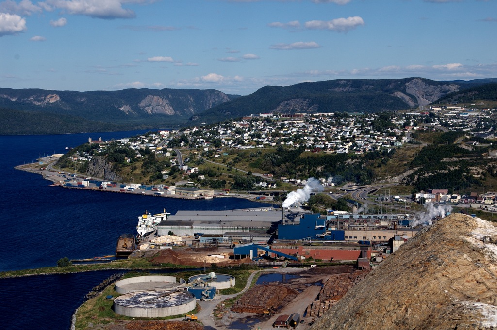


About Our Data
The data on this page is estimated using a number of publicly available tools and resources. It is provided without warranty, and could contain inaccuracies. Use at your own risk.