Tacks Beach Facts
| Local Time | |
| Timezone | Newfoundland Daylight Time |
| Lat & Lng | 47.56660, -54.21485 |
Map of Tacks Beach
Interactive Map
Recent Nearby Earthquakes
Magnitude 3.0 and greater
| Date▼ | Time↕ | Magnitude↕ | Distance↕ | Depth↕ | Location↕ | Link |
|---|---|---|---|---|---|---|
| 4/29/09 | 1:26 AM | 3.3 | 57 km | 18,000 m | Newfoundland, Newfoundland and Labrador, Canada | usgs.gov |
Source: U.S. Geological Survey (USGS)
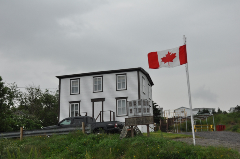
Tack's Beach
's Beach was a small community located on King Island in Placentia Bay. The population was 252 in 1921. The population had declined to 140 by 1966 due to a decline in fish stocks and the community was depopulated in 1967.
Tack's Beach Wikipedia Page

About Our Data
The data on this page is estimated using a number of publicly available tools and resources. It is provided without warranty, and could contain inaccuracies. Use at your own risk.