Curiñanco Facts
| Local Time | |
| Timezone | Chile Standard Time |
| Lat & Lng | -39.72977, -73.38970 |
Map of Curiñanco
Interactive Map
Recent Nearby Earthquakes
Magnitude 3.0 and greater
| Date▼ | Time↕ | Magnitude↕ | Distance↕ | Depth↕ | Location↕ | Link |
|---|---|---|---|---|---|---|
| 5/22/19 | 4:23 AM | 4.6 | 87.4 km | 61,370 m | 13km S of Rio Bueno, Chile | usgs.gov |
| 3/25/19 | 4:32 PM | 4.1 | 80.9 km | 95,920 m | 19km SE of Loncoche, Chile | usgs.gov |
| 1/18/19 | 12:34 PM | 4.3 | 99.2 km | 62,220 m | 7km ESE of Osorno, Chile | usgs.gov |
| 9/19/18 | 11:28 AM | 4.1 | 32.9 km | 60,840 m | 20km ENE of Las Animas, Chile | usgs.gov |
| 9/5/18 | 5:00 AM | 4.4 | 90.5 km | 30,880 m | 43km SW of Carahue, Chile | usgs.gov |
| 12/8/17 | 9:28 AM | 4.1 | 93.1 km | 78,280 m | 27km E of Rio Bueno, Chile | usgs.gov |
| 7/3/17 | 4:45 PM | 4.3 | 76.1 km | 12,120 m | 49km SW of Carahue, Chile | usgs.gov |
| 5/20/17 | 2:13 PM | 4 | 85.3 km | 10,000 m | 34km SSW of Carahue, Chile | usgs.gov |
| 1/9/17 | 8:08 AM | 4.2 | 40.7 km | 63,130 m | 45km N of Las Animas, Chile | usgs.gov |
| 11/5/16 | 8:21 AM | 4.3 | 35.7 km | 24,430 m | 40km NW of Corral, Chile | usgs.gov |
Source: U.S. Geological Survey (USGS)
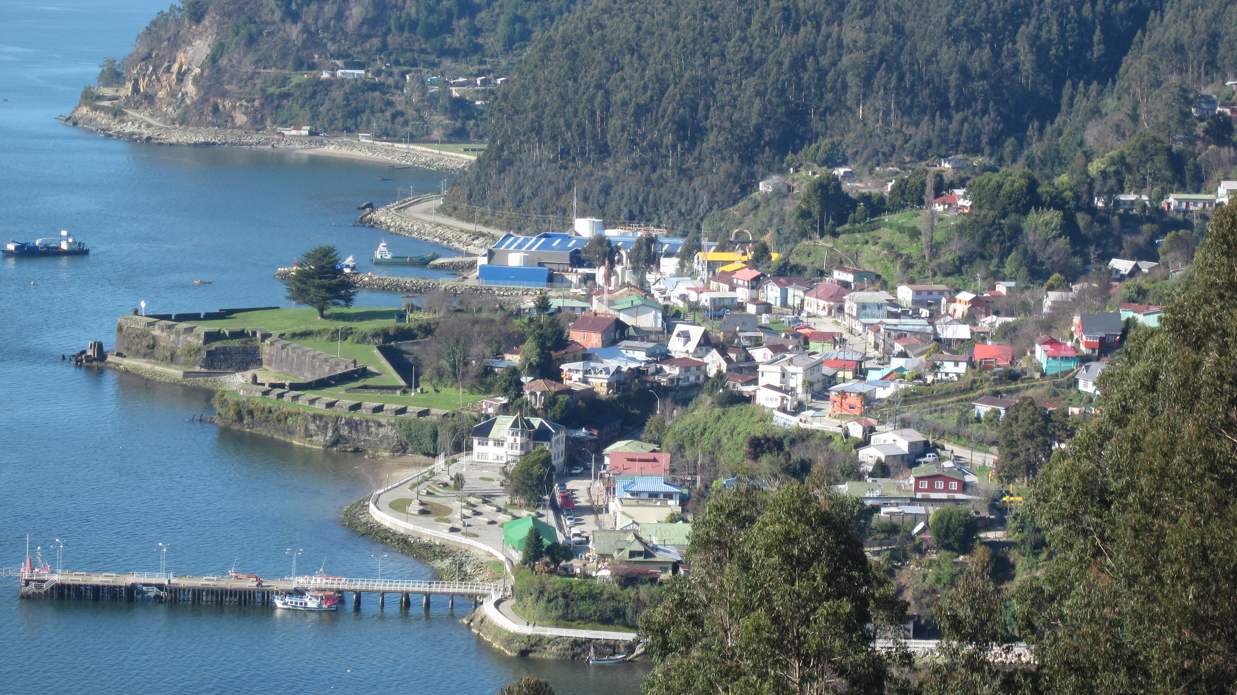
Curiñanco
Curiñanco is a coastal village in Valdivia commune in southern Chile. Curiñanco is inhabited by 274 people according to INE's 2002 census.
Curiñanco Wikipedia Page

About Our Data
The data on this page is estimated using a number of publicly available tools and resources. It is provided without warranty, and could contain inaccuracies. Use at your own risk.