Queule Facts
| Local Time | |
| Timezone | Chile Standard Time |
| Lat & Lng | -39.39853, -73.21392 |
Map of Queule
Interactive Map
Recent Nearby Earthquakes
Magnitude 3.0 and greater
| Date▼ | Time↕ | Magnitude↕ | Distance↕ | Depth↕ | Location↕ | Link |
|---|---|---|---|---|---|---|
| 6/24/19 | 4:42 AM | 4.5 | 85.9 km | 26,460 m | 19km WNW of Carahue, Chile | usgs.gov |
| 6/8/19 | 1:44 PM | 4.7 | 75.4 km | 89,330 m | 11km WSW of Villarrica, Chile | usgs.gov |
| 3/25/19 | 4:32 PM | 4.1 | 63 km | 95,920 m | 19km SE of Loncoche, Chile | usgs.gov |
| 9/19/18 | 11:28 AM | 4.1 | 40.1 km | 60,840 m | 20km ENE of Las Animas, Chile | usgs.gov |
| 9/5/18 | 5:00 AM | 4.4 | 60.8 km | 30,880 m | 43km SW of Carahue, Chile | usgs.gov |
| 4/21/18 | 7:31 AM | 4.1 | 73.7 km | 30,140 m | 47km WSW of Carahue, Chile | usgs.gov |
| 7/3/17 | 4:45 PM | 4.3 | 46.5 km | 12,120 m | 49km SW of Carahue, Chile | usgs.gov |
| 5/20/17 | 2:13 PM | 4 | 50.5 km | 10,000 m | 34km SSW of Carahue, Chile | usgs.gov |
| 1/9/17 | 8:08 AM | 4.2 | 2.6 km | 63,130 m | 45km N of Las Animas, Chile | usgs.gov |
| 11/5/16 | 8:21 AM | 4.3 | 57.9 km | 24,430 m | 40km NW of Corral, Chile | usgs.gov |
Source: U.S. Geological Survey (USGS)
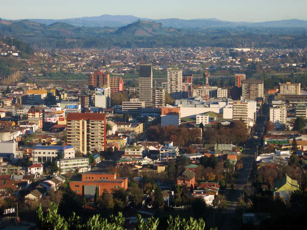
Queule
Queule is a Chilean town in the commune of Toltén in Cautín Province, Araucanía Region. It is located just north of Mehuín and close to the border of Araucanía Region with Los Ríos Region. after the 1960 Valdivia earthquake and tsunami a police offi..
Queule Wikipedia Page

About Our Data
The data on this page is estimated using a number of publicly available tools and resources. It is provided without warranty, and could contain inaccuracies. Use at your own risk.