Rari Facts
| Local Time | |
| Timezone | Chile Standard Time |
| Lat & Lng | -35.76657, -71.46456 |
Map of Rari
Interactive Map
Recent Nearby Earthquakes
Magnitude 3.0 and greater
| Date▼ | Time↕ | Magnitude↕ | Distance↕ | Depth↕ | Location↕ | Link |
|---|---|---|---|---|---|---|
| 1/6/19 | 3:56 AM | 4.3 | 5.2 km | 110,370 m | 20km NE of Linares, Chile | usgs.gov |
| 8/10/18 | 7:06 AM | 4.3 | 17.5 km | 84,830 m | 12km SW of San Clemente, Chile | usgs.gov |
| 12/19/17 | 1:12 PM | 4.2 | 10.7 km | 101,840 m | 11km E of Linares, Chile | usgs.gov |
| 9/17/17 | 6:36 AM | 4.2 | 19.3 km | 88,680 m | 12km SE of San Javier, Chile | usgs.gov |
| 10/17/16 | 8:29 AM | 4.2 | 14 km | 120,800 m | 25km E of Linares, Chile | usgs.gov |
| 6/19/16 | 2:58 PM | 4.6 | 13.3 km | 92,800 m | 25km ENE of Linares, Chile | usgs.gov |
| 3/23/16 | 6:59 PM | 3.9 | 16.2 km | 97,100 m | 10km SE of San Clemente, Chile | usgs.gov |
| 10/20/14 | 10:18 AM | 4.6 | 19.3 km | 91,400 m | 9km SW of San Clemente, Chile | usgs.gov |
| 10/10/13 | 9:23 PM | 4.5 | 16.3 km | 110,400 m | 29km ENE of Linares, Chile | usgs.gov |
| 9/29/13 | 12:09 PM | 4.6 | 16.6 km | 105,500 m | 17km SE of San Clemente, Chile | usgs.gov |
Source: U.S. Geological Survey (USGS)
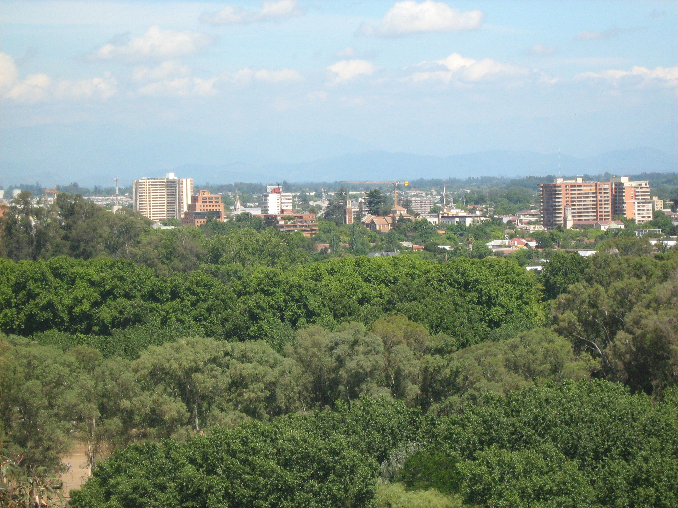
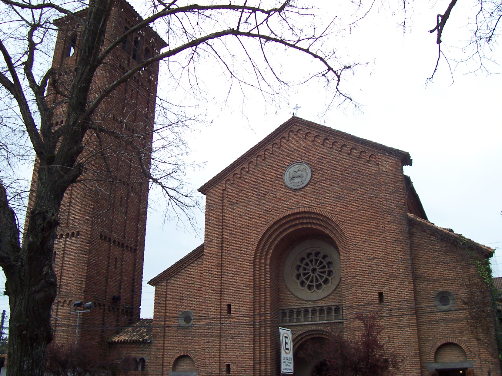
Rari
Rari (in mapudungun, a type of bush or shrub) is a village in the Chilean municipality (comuna) of Colbún, Linares Province, Maule Region located in the Andean foothills of this province. is close to the well-known hot springs of Panimávida and Quin..
Rari Wikipedia Page

About Our Data
The data on this page is estimated using a number of publicly available tools and resources. It is provided without warranty, and could contain inaccuracies. Use at your own risk.