Map of Chamdo
Interactive Map
Neighborhoods in Chamdo
Percentage of businesses by neighborhood in Chamdo
Recent Nearby Earthquakes
Magnitude 3.0 and greater
| Date▼ | Time↕ | Magnitude↕ | Distance↕ | Depth↕ | Location↕ | Link |
|---|---|---|---|---|---|---|
| 7/2/18 | 3:24 AM | 4.5 | 91.4 km | 10,000 m | 33km NNE of Baima, China | usgs.gov |
| 1/3/18 | 5:28 PM | 4.5 | 84.2 km | 10,000 m | 39km N of Baima, China | usgs.gov |
| 5/18/17 | 11:07 PM | 4.5 | 93.8 km | 28,760 m | 29km N of Baima, China | usgs.gov |
| 9/20/16 | 4:26 AM | 4 | 51.4 km | 46,250 m | 33km ENE of Racaka, China | usgs.gov |
| 2/7/16 | 11:40 PM | 4.1 | 64 km | 10,000 m | 50km NW of Agar, China | usgs.gov |
| 3/17/08 | 12:56 AM | 3.9 | 51.4 km | 10,000 m | Xizang-Qinghai border region | usgs.gov |
| 7/7/07 | 11:31 AM | 3.8 | 76.9 km | 52,300 m | eastern Xizang | usgs.gov |
| 6/21/07 | 11:37 PM | 4.4 | 73.1 km | 10,000 m | eastern Xizang | usgs.gov |
| 5/22/07 | 12:15 AM | 3.8 | 65.1 km | 35,000 m | eastern Xizang | usgs.gov |
| 5/7/07 | 11:59 AM | 5.5 | 63 km | 12,100 m | eastern Xizang | usgs.gov |
Source: U.S. Geological Survey (USGS)
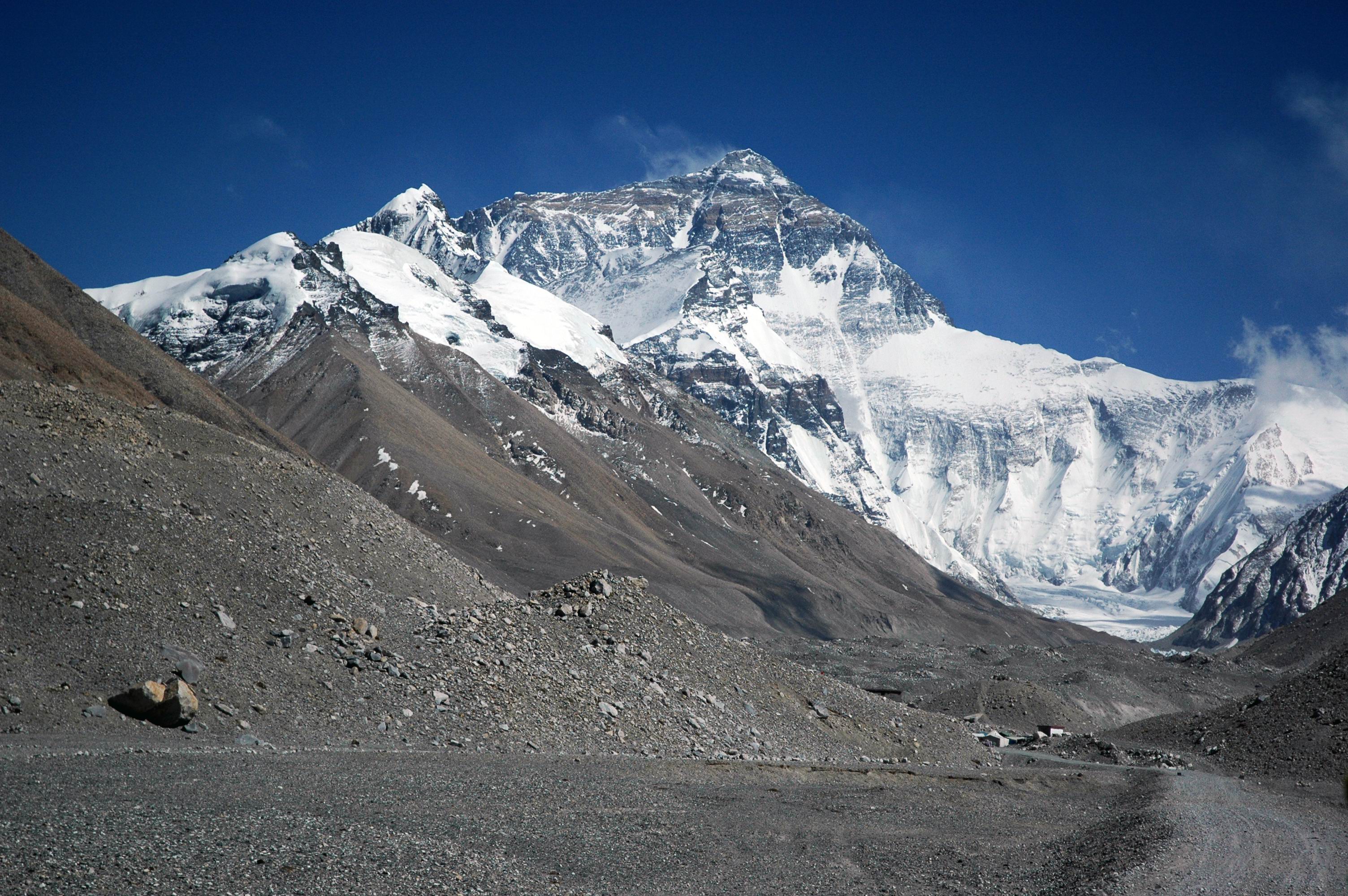
Chamdo
Chamdo, officially Qamdo, and known in Chinese as Changdu, is a prefecture-level city in the eastern part of the Tibet Autonomous Region, China. Its seat is the town of Chengguan in Karub District. Chamdo is Tibet's third largest city after Lhasa and..
Chamdo Wikipedia Page
About Our Data
The data on this page is estimated using a number of publicly available tools and resources. It is provided without warranty, and could contain inaccuracies. Use at your own risk.