Conggo Facts
| Local Time | |
| Timezone | GMT+06:00 |
| Lat & Lng | 30.08333, 94.01667 |
Map of Conggo
Interactive Map
Recent Nearby Earthquakes
Magnitude 3.0 and greater
| Date▼ | Time↕ | Magnitude↕ | Distance↕ | Depth↕ | Location↕ | Link |
|---|---|---|---|---|---|---|
| 8/20/19 | 1:08 AM | 4.6 | 77.7 km | 31,690 m | 60km S of Domartang, China | usgs.gov |
| 8/14/19 | 11:47 PM | 4.9 | 83.5 km | 10,000 m | 56km S of Domartang, China | usgs.gov |
| 8/14/19 | 8:13 AM | 4.9 | 84.7 km | 10,000 m | 50km S of Domartang, China | usgs.gov |
| 8/12/19 | 3:32 AM | 4.8 | 80.6 km | 10,000 m | 55km S of Domartang, China | usgs.gov |
| 8/12/19 | 3:06 AM | 4.3 | 82.3 km | 10,000 m | 60km S of Domartang, China | usgs.gov |
| 8/11/19 | 11:08 AM | 4.6 | 87.8 km | 10,000 m | 56km S of Domartang, China | usgs.gov |
| 8/11/19 | 2:13 AM | 5 | 82.5 km | 10,000 m | 58km S of Domartang, China | usgs.gov |
| 11/18/17 | 12:32 AM | 5.1 | 85.4 km | 10,000 m | 63km NE of Nyingchi, China | usgs.gov |
| 8/21/17 | 1:14 AM | 4.6 | 78.6 km | 10,000 m | 49km SSW of Domartang, China | usgs.gov |
| 8/12/17 | 5:10 PM | 5 | 85.5 km | 28,200 m | 61km S of Domartang, China | usgs.gov |
Source: U.S. Geological Survey (USGS)
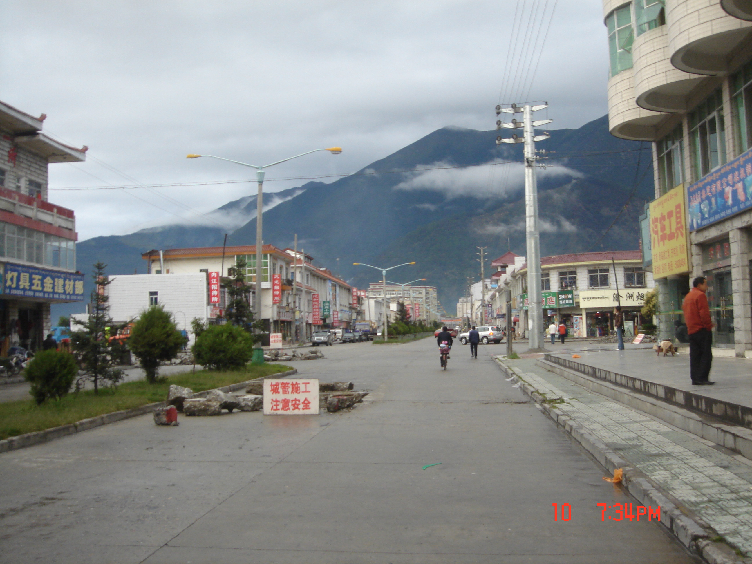
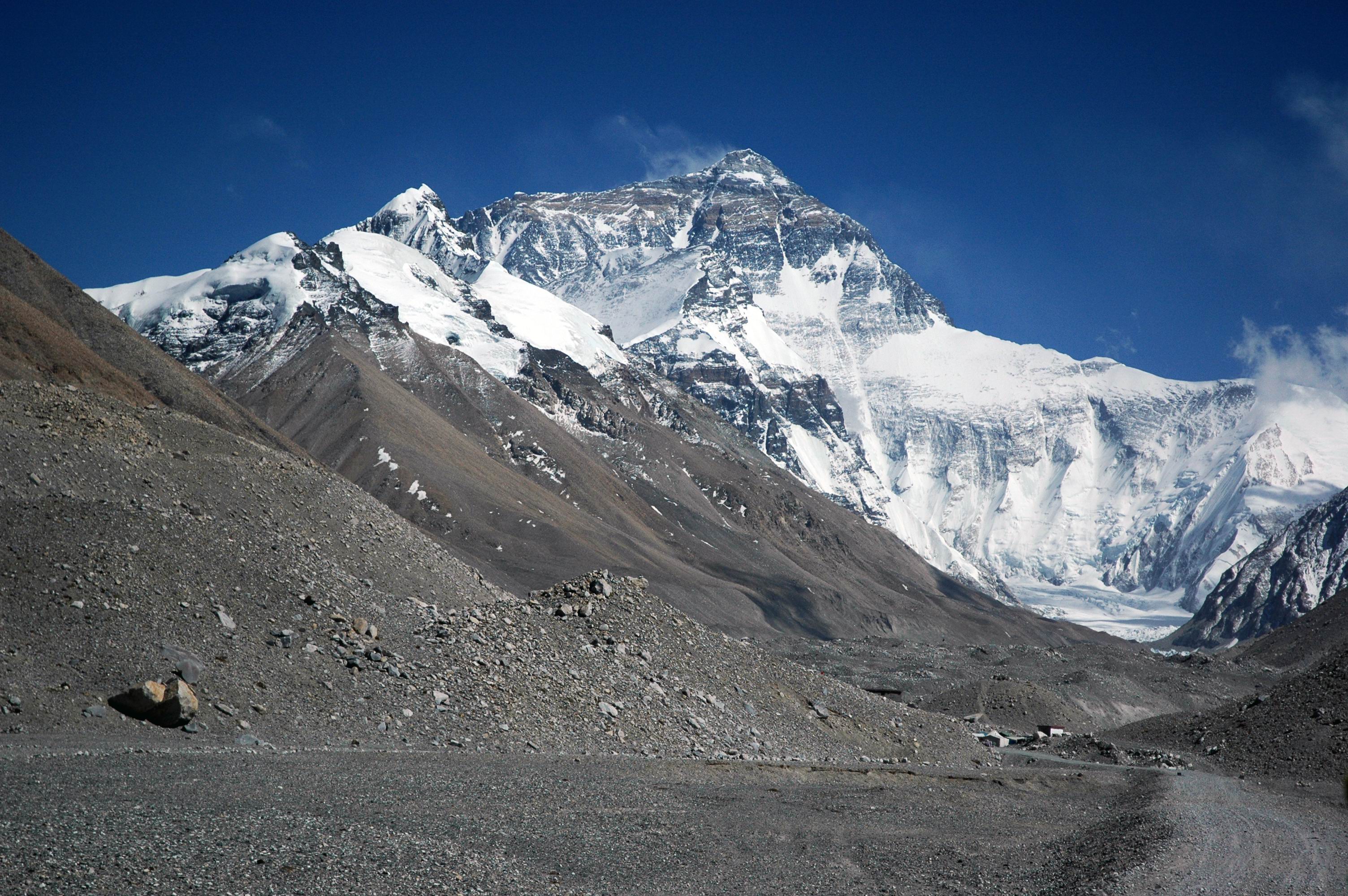
Conggo
Conggo is a village in the Tibet Autonomous Region of China. It lies at an altitude of 3481 metres (11,423 feet). The village has a population of about 238.
Conggo Wikipedia Page

About Our Data
The data on this page is estimated using a number of publicly available tools and resources. It is provided without warranty, and could contain inaccuracies. Use at your own risk.