Industries
Business Distribution by Industry in Otanche
| Industry Description | Number of Establishments |
|---|---|
| Hotels and motels | 9 |
Otanche Facts
| Local Time | |
| Timezone | Colombia Standard Time |
| Lat & Lng | 5.65672, -74.18249 |
| Postal Codes | 155060 |
Map of Otanche
Interactive Map
Recent Nearby Earthquakes
Magnitude 3.0 and greater
| Date▼ | Time↕ | Magnitude↕ | Distance↕ | Depth↕ | Location↕ | Link |
|---|---|---|---|---|---|---|
| 4/17/19 | 10:23 AM | 4.2 | 79.9 km | 158,210 m | 2km N of Villapinzon, Colombia | usgs.gov |
| 8/22/18 | 1:06 PM | 4.5 | 69.7 km | 10,000 m | 18km W of Cimitarra, Colombia | usgs.gov |
| 7/6/18 | 10:02 PM | 4 | 92.5 km | 99,640 m | 15km N of Cimitarra, Colombia | usgs.gov |
| 11/26/16 | 7:32 PM | 4.3 | 30.8 km | 124,030 m | 8km ESE of Maripi, Colombia | usgs.gov |
| 7/13/16 | 2:15 AM | 4.2 | 68.6 km | 148,760 m | 6km SE of Guacheta, Colombia | usgs.gov |
| 7/9/16 | 12:55 PM | 4.5 | 98.2 km | 15,400 m | 13km SSW of Puerto Parra, Colombia | usgs.gov |
| 3/17/16 | 8:46 AM | 4 | 37.6 km | 44,390 m | 13km NNE of Caparrapi, Colombia | usgs.gov |
| 9/19/15 | 8:45 PM | 4.7 | 43.5 km | 18,490 m | 37km WNW of La Belleza, Colombia | usgs.gov |
| 12/14/14 | 1:49 AM | 4.7 | 73.2 km | 152,310 m | 7km W of Ventaquemada, Colombia | usgs.gov |
| 8/20/12 | 8:17 PM | 4 | 99.8 km | 43,100 m | Colombia | usgs.gov |
Source: U.S. Geological Survey (USGS)
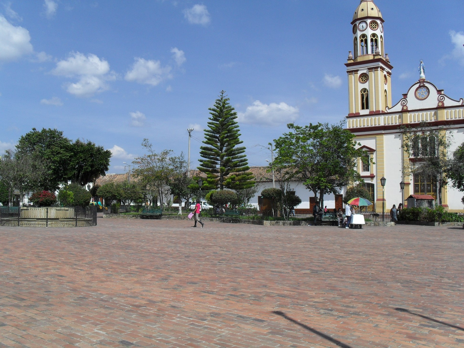
Otanche
Otanche is a town and municipality in Boyacá Department, Colombia, part of the subregion of the Western Boyacá Province.
Otanche Wikipedia Page


About Our Data
The data on this page is estimated using a number of publicly available tools and resources. It is provided without warranty, and could contain inaccuracies. Use at your own risk.