Categories in Villeta
Auto Parts StoreCar repairCar Repair and MaintenanceCar WashGas StationMechanicMotorcycle DealerMotorcycle Parts StoreMotorcycle repairFarmingFurniture ManufacturerPoultry FarmWholesalersClothing storesMobile phone storesChurchesGovernment OfficeBuilding Materials StoreConstruction of housesHardware storeHome Goods StoreHousing DevelopmentTool StoreEducationEducation CenterGambling InstructorKindergartenCultural CenterEvent managementParty PlannerTourist AttractionBakeriesBar & GrillBars, pubs and tavernsBurger restaurantsButcherCafesChicken RestaurantCoffee ShopColombian RestaurantEspresso BarFamily RestaurantFast food restaurantsFood delivery servicesGrocery stores and supermarketsHealth and Beauty ShopIce Cream ShopPizzaRestaurantsSeafood restaurantsFurniture storesNurseries and garden suppliesAtm'sAuto insuranceBanksFinancial InstitutionMoney Order ServiceMoney Transfer ServiceDental ClinicHealth ConsultantMedical CenterNursing HomeVeterinarianBarbersBeauty salonsHairdresserHair SalonAdvertising AgencyMarketing AgencyOccupational safety and healthApartment BuildingApartment ComplexCondominium ComplexCountry HouseHoliday ApartmentHoliday Apartment RentalHousing ComplexReal Estate AgencyConvenience storesGeneral StoreGift ShopMarketPaper StorePharmacyShoppingShopping MallSupermarketCampgroundCamping cabinDisco ClubFutsal CourtGymLottery RetailerPlaygroundPublic parksPublic swimming poolsSoccer FieldSports clubSwimming BasinBed and breakfastsCottageFarmstayGuest HouseHoliday HomeHostelsHotelsHotels and motelsHousing SocietyIndoor LodgingLodgingParking LotResortRest StopServiced AccommodationSightseeing Tour AgencyTransportation ServiceVillaWellness HotelUnreachable
Industries
Business Distribution by Industry in Villeta
| Industry Description | Number of Establishments | Average Google Rating |
|---|---|---|
| Other accommodation | 37 | 4.1 |
| Hotels and motels | 28 | 4.1 |
| Restaurants | 27 | 4.2 |
| Shopping | 23 | 4.1 |
| Loan companies | 14 | 4.4 |
| Travel agencies | 10 | 4.1 |
| Finance other | 9 | 4.2 |
| Car repair | 8 | 4.3 |
| Financial services | 7 | — |
| Auto insurance | 7 | — |
| Gas station | 7 | 3.9 |
| Buses and trains | 7 | 3.5 |
| Banks | 5 | 4.3 |
Villeta Facts
| Area | 116.1 km² |
| Population | 23,820 |
| Male Population | 11,915 (50.0%) |
| Female Population | 11,905 (50.0%) |
| Population change (1975 to 2020) | +5.9% |
| Population change (2000 to 2020) | -7.1% |
| Median Age | 25.1 years (Male: 24.5, Female: 25.7) |
| Neighborhoods | Muzú, Centro, Bello Horizonte |
| Local Time | |
| Timezone | Colombia Standard Time |
| Lat & Lng | 5.00886, -74.47226 |
| Postal Codes | 253410, 253417, 253418 |
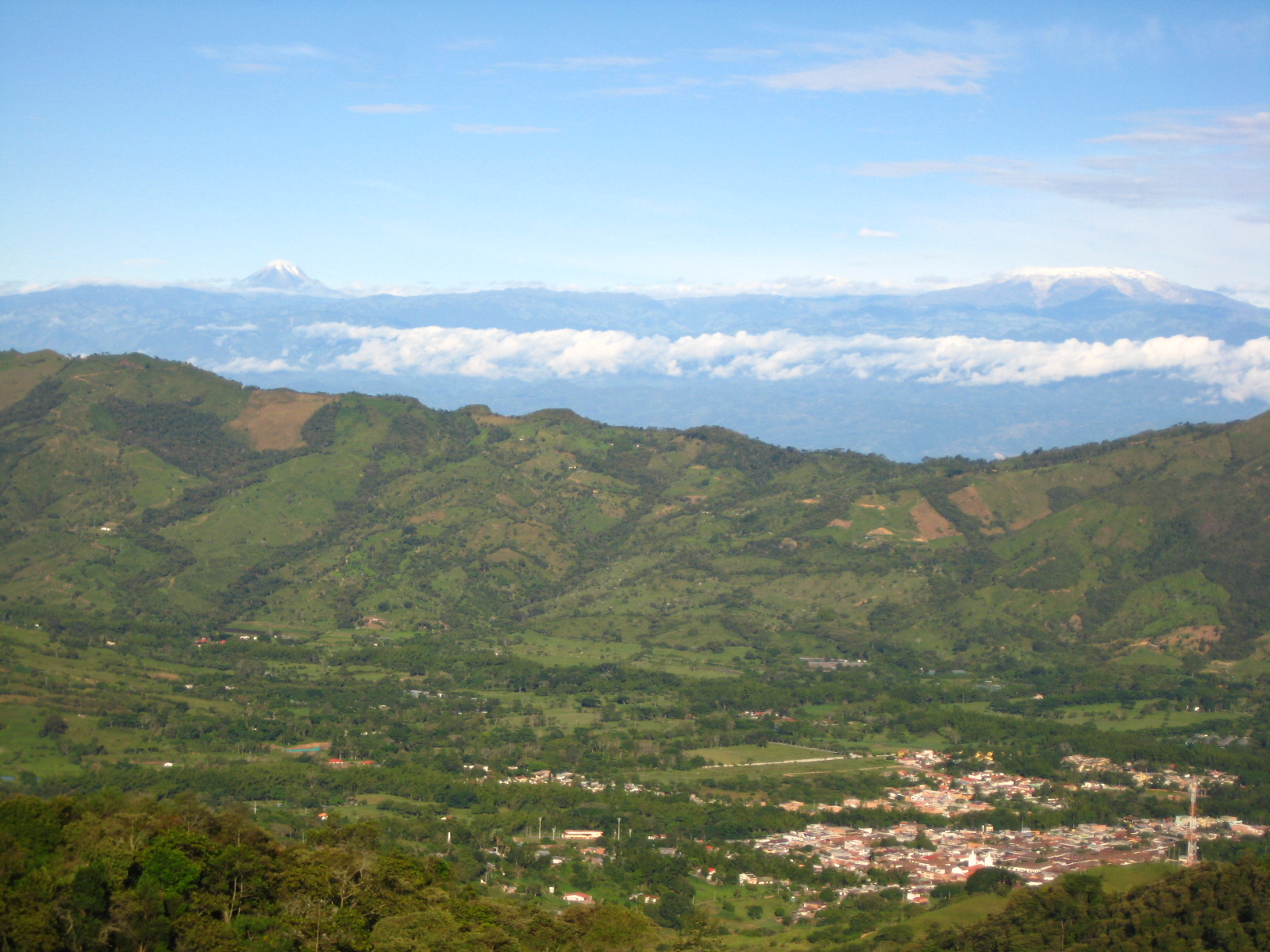
Map of Villeta
Interactive Map
Villeta Population
Years 1975 to 2020
| Data | 1975 | 1990 | 2000 | 2015 | 2020 |
|---|---|---|---|---|---|
| Population | 22,489 | 25,823 | 25,645 | 22,527 | 23,820 |
| Population Density | 193.7 / km² | 222.4 / km² | 220.8 / km² | 194 / km² | 205.1 / km² |
Sources: JRC (European Commission's Joint Research Centre) work on the GHS built-up grid
Villeta Population change from 2000 to 2015
Decrease of 12.2% from year 2000 to 2015
| Location | Change since 1975 | Change since 1990 | Change since 2000 |
|---|---|---|---|
| Villeta | +0.2% | -12.8% | -12.2% |
| Cundinamarca Department | +127.3% | +64.3% | +34.5% |
| Colombia | +94.6% | +40.7% | +19.4% |
Sources: JRC (European Commission's Joint Research Centre) work on the GHS built-up grid
Villeta Median Age
Median Age: 25.1 years
| Location | Median Age | Median Age (Female) | Median Age (Male) |
|---|---|---|---|
| Villeta | 25.1 yrs | 25.7 yrs | 24.5 yrs |
| Cundinamarca Department | 25.2 yrs | 25.9 yrs | 24.6 yrs |
| Colombia | 24.9 yrs | 25.8 yrs | 24.1 yrs |
Sources: CIESIN (Center for International Earth Science Information Network)
Villeta Population Density
Population Density: 205 / km²
| Location | Population | Area | Density |
|---|---|---|---|
| Villeta | 23,820 | 116.1 km² | 205 / km² |
| Cundinamarca Department | 2.9 million | 22,383.4 km² | 127 / km² |
| Colombia | 47.8 million | 1,136,620.4 km² | 42.1 / km² |
Sources: JRC (European Commission's Joint Research Centre) work on the GHS built-up grid
Villeta Historical and Projected Population
Estimated Population from 0 to 2100
Sources:
- JRC (European Commission's Joint Research Centre) work on the GHS built-up grid
- CIESIN (Center for International Earth Science Information Network)
- [Link] Klein Goldewijk, K., Beusen, A., Doelman, J., and Stehfest, E.: Anthropogenic land use estimates for the Holocene – HYDE 3.2, Earth Syst. Sci. Data, 9, 927–953, https://doi.org/10.5194/essd-9-927-2017, 2017.
Area Codes
Percentage Area Codes used by businesses in Villeta
Price Distribution
Business distribution by price for Villeta
Human Development Index (HDI)
Statistic composite index of life expectancy, education, and per capita income.
Source: [Link] Kummu, M., Taka, M. &Guillaume, J. Gridded global datasets for Gross Domestic Product and Human Development Index over 1990–2015. Sci Data 5, 180004 (2018) doi:10.1038/sdata.2018.4
Villeta CO2 Emissions
Carbon Dioxide (CO2) Emissions Per Capita in Tonnes Per Year
| Location | CO2 Emissions | CO2 Emissions Per Capita | CO2 Emissions Intensity |
|---|---|---|---|
| Villeta | 65,908 tn | 2.77 tn | 567.6 tons/km² |
| Cundinamarca Department | 7,890,605 tn | 2.77 tn | 352.5 tons/km² |
| Colombia | 116,035,326 tn | 2.43 tn | 102.1 tons/km² |
Sources: [Link] Moran, D., Kanemoto K; Jiborn, M., Wood, R., Többen, J., and Seto, K.C. (2018) Carbon footprints of 13,000 cities. Environmental Research Letters DOI: 10.1088/1748-9326/aac72a
Villeta CO2 Emissions
| 2013 CO2 emissions (tonnes/year) | 65,908 tn |
| 2013 CO2 emissions (tonnes/year) per capita | 2.77 tn |
| 2013 CO2 emissions intensity (tonnes/km²/year) | 567.6 tons/km² |
Natural Hazards Risk
Relative risk out of 10
| Hazard | Risk Level |
|---|---|
| Drought | Low (2.6) |
| Flood | High (10) |
| Earthquake | Medium (7) |
| Landslide | High (9) |
* Risk, particularly concerning flood or landslide, may not be for the entire area.
Sources:
- Dilley, M., R.S. Chen, U. Deichmann, A.L. Lerner-Lam, M. Arnold, J. Agwe, P. Buys, O. Kjekstad, B. Lyon, and G. Yetman. 2005. Natural Disaster Hotspots: A Global Risk Analysis. Washington, D.C.: World Bank. https://doi.org/10.1596/0-8213-5930-4.
- Center for Hazards and Risk Research - CHRR - Columbia University, Center for International Earth Science Information Network - CIESIN - Columbia University, and Norwegian Geotechnical Institute - NGI. 2005. Global Landslide Hazard Distribution. Palisades, NY: NASA Socioeconomic Data and Applications Center (SEDAC). https://doi.org/10.7927/H4P848VZ.
- Center for Hazards and Risk Research - CHRR - Columbia University, Center for International Earth Science Information Network - CIESIN - Columbia University, and International Research Institute for Climate and Society - IRI - Columbia University. 2005. Global Drought Hazard Frequency and Distribution. Palisades, NY: NASA Socioeconomic Data and Applications Center (SEDAC). https://doi.org/10.7927/H4VX0DFT.
- Center for Hazards and Risk Research - CHRR - Columbia University, Center for International Earth Science Information Network - CIESIN - Columbia University. 2005. Global Flood Hazard Frequency and Distribution. Palisades, NY: NASA Socioeconomic Data and Applications Center (SEDAC). https://doi.org/10.7927/H4668B3D.
- Center for Hazards and Risk Research - CHRR - Columbia University, Center for International Earth Science Information Network - CIESIN - Columbia University. 2005. Global Earthquake Hazard Distribution - Peak Ground Acceleration. Palisades, NY: NASA Socioeconomic Data and Applications Center (SEDAC). https://doi.org/10.7927/H4BZ63ZS.
Recent Nearby Earthquakes
Magnitude 3.0 and greater
| Date▼ | Time↕ | Magnitude↕ | Distance↕ | Depth↕ | Location↕ | Link |
|---|---|---|---|---|---|---|
| 7/30/17 | 5:57 AM | 4.5 | 79.6 km | 10,000 m | 11km SSE of Murillo, Colombia | usgs.gov |
| 7/30/17 | 5:40 AM | 4.7 | 60.9 km | 10,000 m | 10km SE of Libano, Colombia | usgs.gov |
| 1/21/17 | 6:34 AM | 4 | 68.3 km | 31,990 m | 10km NW of Chipaque, Colombia | usgs.gov |
| 11/26/16 | 7:32 PM | 4.3 | 80.8 km | 124,030 m | 8km ESE of Maripi, Colombia | usgs.gov |
| 7/13/16 | 2:15 AM | 4.2 | 98.9 km | 148,760 m | 6km SE of Guacheta, Colombia | usgs.gov |
| 3/17/16 | 8:46 AM | 4 | 50.4 km | 44,390 m | 13km NNE of Caparrapi, Colombia | usgs.gov |
| 5/30/12 | 12:57 AM | 4.2 | 89.6 km | 156,300 m | Colombia | usgs.gov |
| 2/8/12 | 9:38 AM | 3.9 | 38 km | 16,000 m | Colombia | usgs.gov |
| 12/24/08 | 9:31 PM | 3.4 | 98 km | 159,900 m | Colombia | usgs.gov |
| 10/23/08 | 9:19 PM | 3.9 | 64.5 km | 106,700 m | Colombia | usgs.gov |
Source: U.S. Geological Survey (USGS)


About Our Data
The data on this page is estimated using a number of publicly available tools and resources. It is provided without warranty, and could contain inaccuracies. Use at your own risk.