Otrabanda Facts
| Local Time | |
| Timezone | Atlantic Standard Time |
| Lat & Lng | 12.10890, -68.93826 |
Map of Otrabanda
Interactive Map
Recent Nearby Earthquakes
Magnitude 3.0 and greater
| Date▼ | Time↕ | Magnitude↕ | Distance↕ | Depth↕ | Location↕ | Link |
|---|---|---|---|---|---|---|
| 6/3/18 | 4:22 PM | 4.4 | 85.2 km | 16,830 m | 4km W of Puerto Cumarebo, Venezuela | usgs.gov |
| 3/10/17 | 1:46 PM | 5.2 | 69.9 km | 15,000 m | 56km N of La Vela de Coro, Venezuela | usgs.gov |
| 3/9/17 | 1:29 PM | 4.8 | 72.1 km | 19,440 m | 58km WSW of Dorp Soto, Curaçao | usgs.gov |
| 6/3/13 | 12:55 PM | 4 | 9.3 km | 9,300 m | 8km NE of Willemstad, Curaçao | usgs.gov |
| 10/2/11 | 5:27 PM | 4.1 | 79.1 km | 19,000 m | offshore Falcon, Venezuela | usgs.gov |
| 8/27/11 | 4:15 PM | 4.7 | 94.4 km | 15,000 m | Aruba region | usgs.gov |
| 11/20/04 | 6:12 AM | 3.9 | 58 km | 13,300 m | offshore Falcon, Venezuela | usgs.gov |
| 12/15/03 | 11:09 AM | 3.7 | 89.2 km | 33,000 m | Netherlands Antilles region | usgs.gov |
| 12/21/91 | 9:01 PM | 4.3 | 63 km | 26,700 m | offshore Falcon, Venezuela | usgs.gov |
| 4/30/89 | 9:30 AM | 4.6 | 68.9 km | 10,000 m | Netherlands Antilles region | usgs.gov |
Source: U.S. Geological Survey (USGS)
Otrobanda
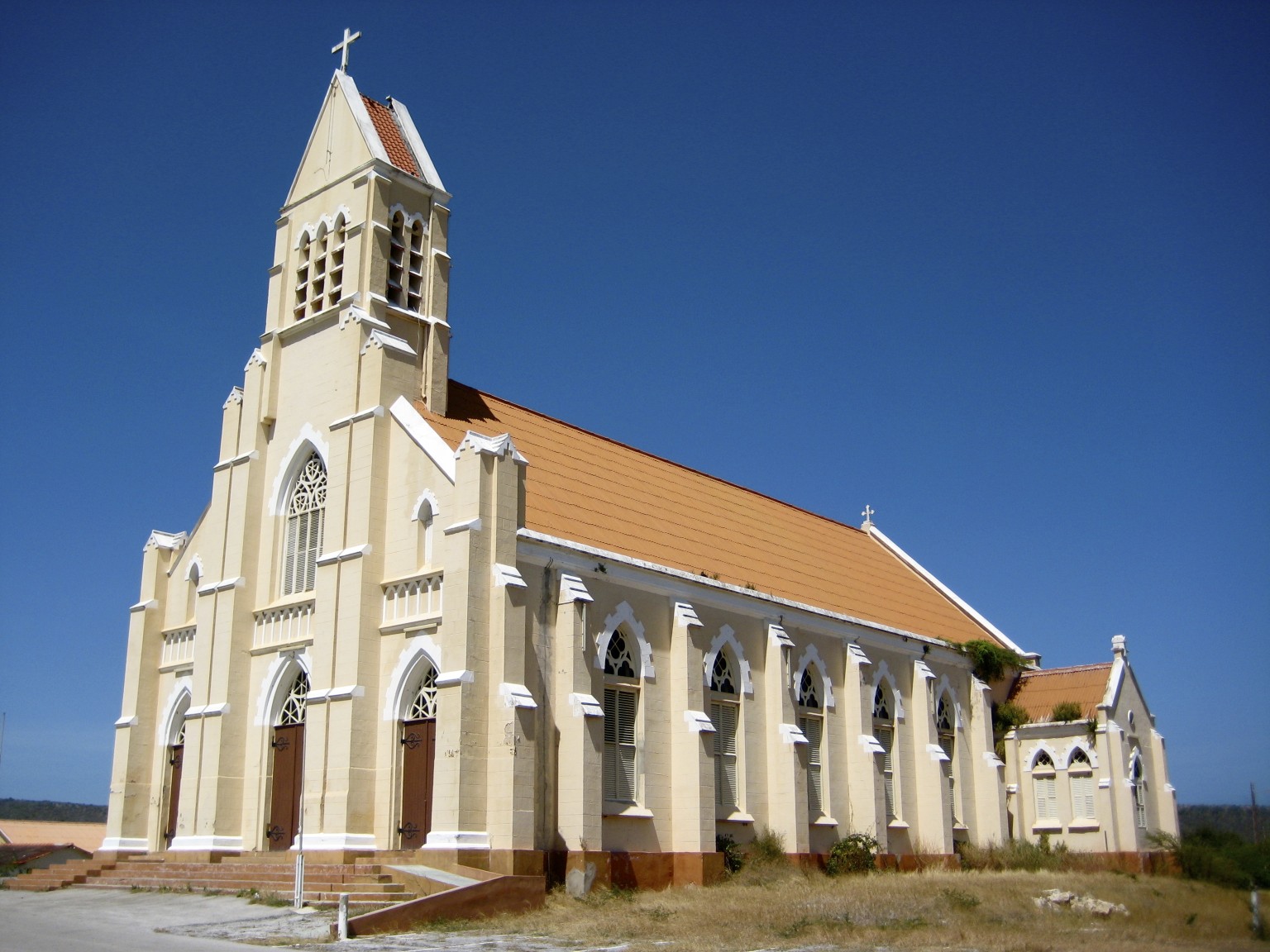
Otrobanda, Curacao is one of the historically important quarters of Willemstad, the capital of Curaçao. It contains many of the over 800 UNESCO World Heritage Site registered architectural monuments. The development of Otrobanda picked up in the earl..
Otrobanda Wikipedia Page

About Our Data
The data on this page is estimated using a number of publicly available tools and resources. It is provided without warranty, and could contain inaccuracies. Use at your own risk.