Categories in Vamberk
Industries
Business Distribution by Industry in Vamberk
| Industry Description | Number of Establishments |
|---|---|
| Wholesalers | 54 |
| Restaurants | 33 |
| Technical construction services | 22 |
| Manufacture of minerals and metals | 22 |
| Car repair | 20 |
| Shopping | 20 |
| Freight forwarding | 18 |
| Beauty salons | 15 |
| Wholesale of construction supplies | 13 |
| Real estate | 11 |
| Accountants | 11 |
| Other transport activities | 10 |
| Other construction | 10 |
| Construction | 9 |
Vamberk Facts
| Area | 1.9 km² |
| Population | 2,062 |
| Male Population | 1,022 (49.6%) |
| Female Population | 1,040 (50.4%) |
| Population change (1975 to 2020) | -54.6% |
| Population change (2000 to 2020) | -45.6% |
| Median Age | 40.9 years (Male: 39.1, Female: 43.5) |
| GDP per capita (PPP) | $36,390 (2022) |
| Neighborhoods | Vamberk, Peklo, Rychnov nad Kněžnou |
| Local Time | |
| Timezone | Central European Summer Time |
| Lat & Lng | 50.11756, 16.29067 |
| Postal Codes | 517 54 |
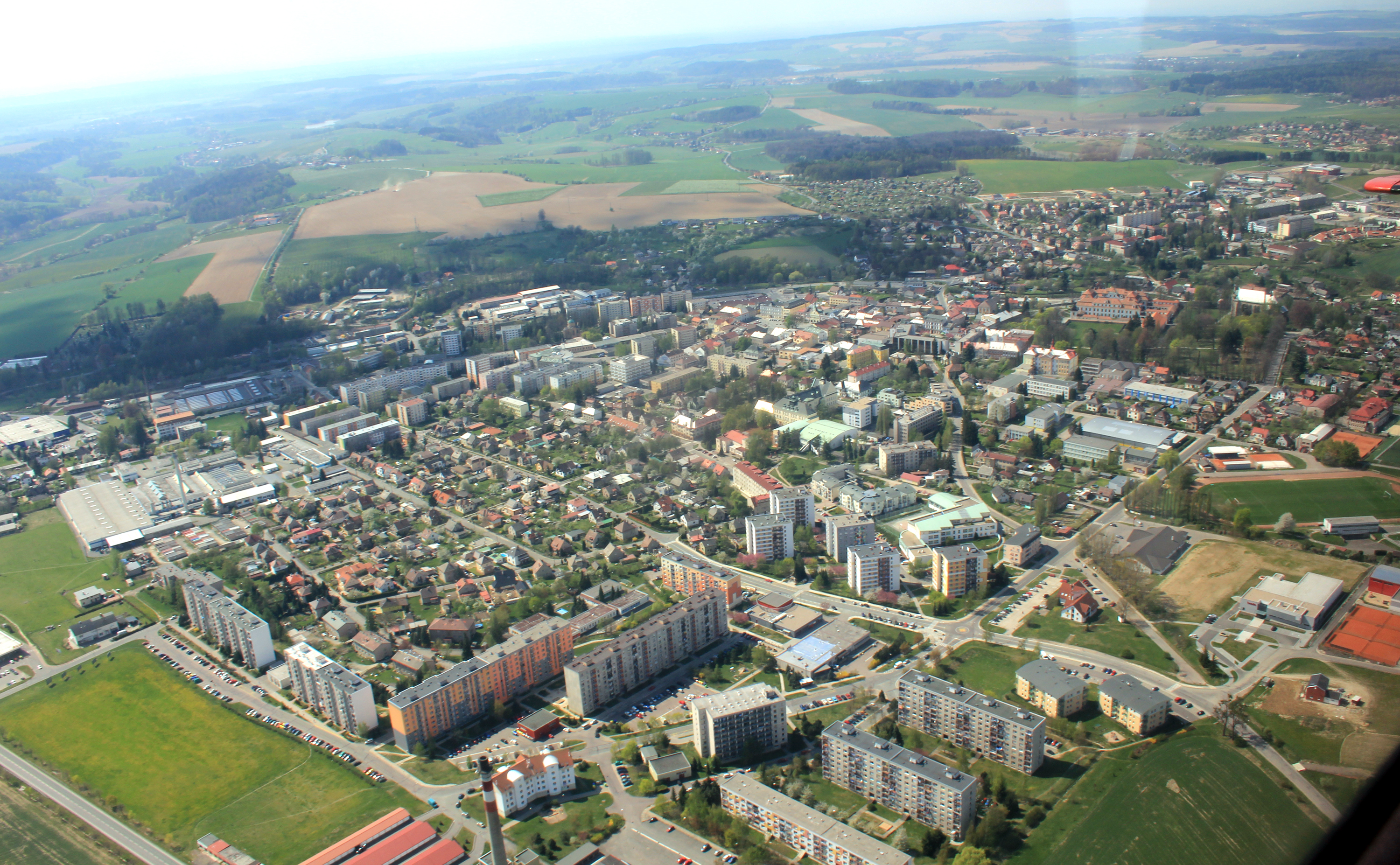
Map of Vamberk
Interactive Map
Vamberk Population
Years 1975 to 2030
| Data | 1975 | 1990 | 2000 | 2015 | 2020 | 2025* | 2030* |
|---|---|---|---|---|---|---|---|
| Population | 4,544 | 4,201 | 3,788 | 3,313 | 2,062 | 1,982 | 1,914 |
| Population Density | 2,345.3 / km² | 2,168.3 / km² | 1,955.1 / km² | 1,709.9 / km² | 1,064.3 / km² | 1,023 / km² | 987.9 / km² |
Vamberk Population change from 2000 to 2020
Decrease of 45.6% from year 2000 to 2020
| Location | Change since 1975 | Change since 1990 | Change since 2000 |
|---|---|---|---|
| Vamberk | -54.6% | -50.9% | -45.6% |
| Czech Republic | — | — | — |
Vamberk Median Age
Median Age: 40.9 years
| Location | Median Age | Median Age (Female) | Median Age (Male) |
|---|---|---|---|
| Vamberk | 40.9 yrs | 43.5 yrs | 39.1 yrs |
| Czech Republic | 40 yrs | 41.7 yrs | 38.7 yrs |
Vamberk Population Density
Population Density: 1,064 / km²
| Location | Population | Area | Density |
|---|---|---|---|
| Vamberk | 2,062 | 1.938 km² | 1,064 / km² |
| Czech Republic | 10.5 million | 78,907.6 km² | 134 / km² |
Vamberk Historical and Projected Population
Estimated Population from 0 to 2100
- JRC (European Commission's Joint Research Centre) work on the GHS built-up grid
- CIESIN (Center for International Earth Science Information Network)
- [Link] Klein Goldewijk, K., Beusen, A., Doelman, J., and Stehfest, E.: Anthropogenic land use estimates for the Holocene – HYDE 3.2, Earth Syst. Sci. Data, 9, 927–953, https://doi.org/10.5194/essd-9-927-2017, 2017.
Area Codes
Percentage Area Codes used by businesses in Vamberk
Postal Codes
Percentage of businesses by Postal Codes in Vamberk
Price Distribution
Business distribution by price for Vamberk
Human Development Index (HDI)
Statistic composite index of life expectancy, education, and per capita income.
Vamberk Gross Domestic Product (GDP)
GDP per capita, PPP (constant 2017 international $)
| Data | 1990 | 1995 | 2000 | 2005 | 2010 | 2015 | 2020 | 2022 |
|---|---|---|---|---|---|---|---|---|
| GDP per capita | $19,716 | $19,245 | $20,761 | $22,993 | $24,651 | $29,848 | $35,899 | $36,390 |
| Total GDP | $373.8M | $363.8M | $384.3M | $414.2M | $437.6M | $513.9M | $604.3M | $605.4M |
Vamberk CO2 Emissions
Carbon Dioxide (CO2) Emissions Per Capita in Tonnes Per Year
| Location | CO2 Emissions | CO2 Emissions Per Capita | CO2 Emissions Intensity |
|---|---|---|---|
| Vamberk | 18,877 tn | 9.15 tn | 9,743 tons/km² |
| Czech Republic | 95,143,045 tn | 9.02 tn | 1,205.8 tons/km² |
| 2013 CO2 emissions (tonnes/year) | 18,877 tn |
| 2013 CO2 emissions (tonnes/year) per capita | 9.15 tn |
| 2013 CO2 emissions intensity (tonnes/km²/year) | 9,743 tons/km² |
Natural Hazards Risk
Relative risk out of 10
| Hazard | Risk Level |
|---|---|
| Earthquake | Low (2) |
* Risk, particularly concerning flood or landslide, may not be for the entire area.
- Dilley, M., R.S. Chen, U. Deichmann, A.L. Lerner-Lam, M. Arnold, J. Agwe, P. Buys, O. Kjekstad, B. Lyon, and G. Yetman. 2005. Natural Disaster Hotspots: A Global Risk Analysis. Washington, D.C.: World Bank. https://doi.org/10.1596/0-8213-5930-4.
- Center for Hazards and Risk Research - CHRR - Columbia University, Center for International Earth Science Information Network - CIESIN - Columbia University. 2005. Global Earthquake Hazard Distribution - Peak Ground Acceleration. Palisades, NY: NASA Socioeconomic Data and Applications Center (SEDAC). https://doi.org/10.7927/H4BZ63ZS.
Recent Nearby Earthquakes
Magnitude 3.0 and greater
| Date▼ | Time↕ | Magnitude↕ | Distance↕ | Depth↕ | Location↕ | Link |
|---|---|---|---|---|---|---|
| 3/21/06 | 4:26 PM | 3 | 53.1 km | 5,000 m | Czech Republic | usgs.gov |
| 10/25/05 | 10:51 AM | 3.4 | 42.8 km | 4,000 m | Czech Republic | usgs.gov |
| 2/20/02 | 11:47 AM | 3 | 93.1 km | 5,000 m | Poland-Czech Republic border region | usgs.gov |
| 2/16/02 | 3:33 PM | 3.3 | 82.6 km | 5,000 m | Czech Republic region | usgs.gov |
| 6/4/99 | 12:49 PM | 3.1 | 71.9 km | 5,000 m | Poland-Czech Republic border region | usgs.gov |
| 8/7/98 | 12:25 AM | 3.2 | 71.8 km | 5,000 m | Poland-Czech Republic border region | usgs.gov |
| 7/23/98 | 11:21 PM | 3 | 72.4 km | 5,000 m | Poland-Czech Republic border region | usgs.gov |
| 4/28/98 | 11:19 AM | 3.3 | 84.9 km | 10,000 m | Poland-Czech Republic border region | usgs.gov |
| 2/18/98 | 4:37 AM | 3 | 73.9 km | 10,000 m | Czech Republic | usgs.gov |
| 2/12/98 | 5:27 AM | 3.1 | 63.4 km | 10,000 m | Poland-Czech Republic border region | usgs.gov |
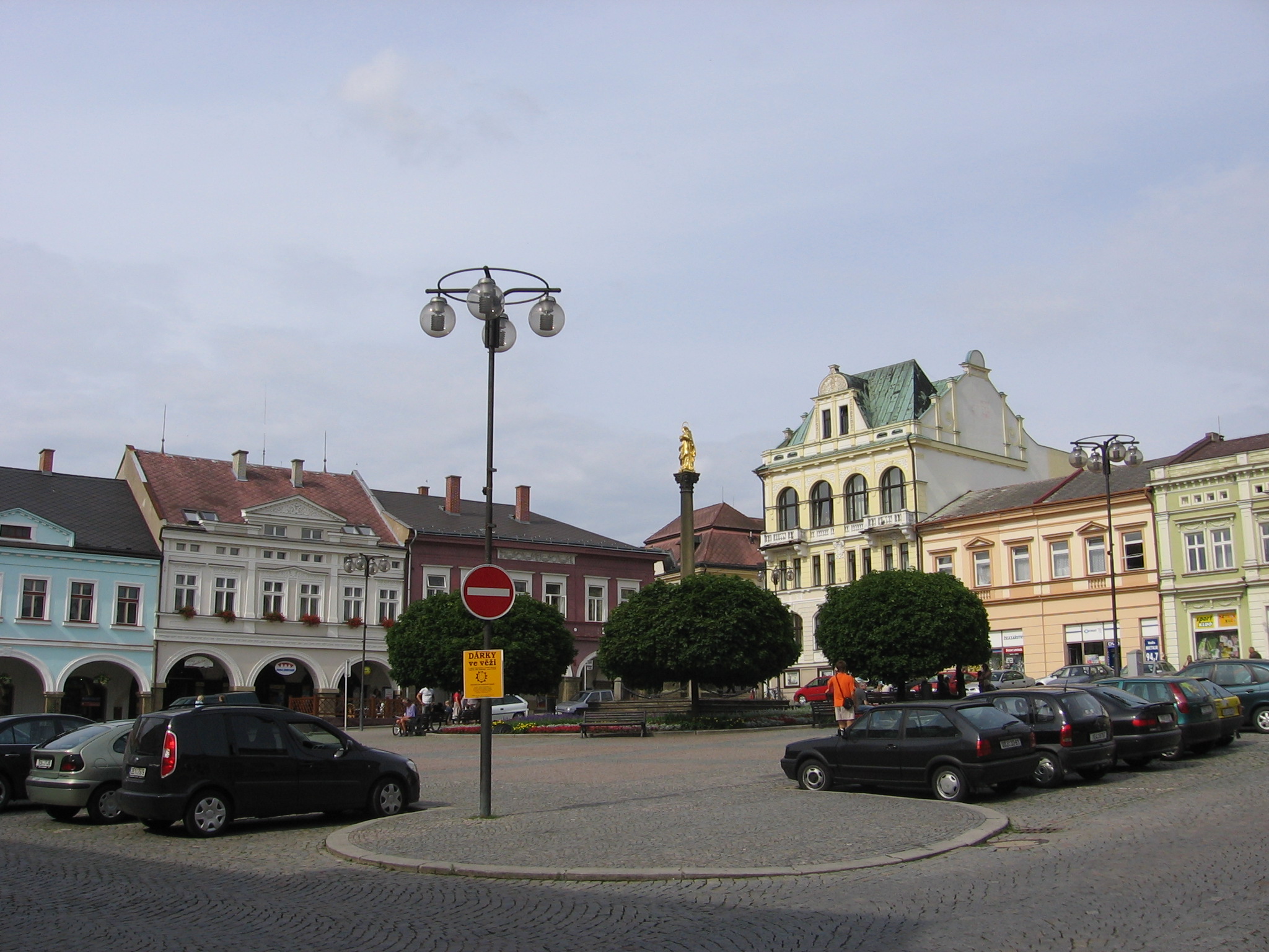
Vamberk
Vamberk (Czech pronunciation: [ˈvambɛrk]; German: Wamberg) is a town in the Hradec Králové Region of the Czech Republic. It has c. 4,800 inhabitants. city has been well known for lace production since the 17th Century. In the mid-17th century, Magda..
Vamberk Wikipedia Page

About Our Data
The data on this page is estimated using a number of publicly available tools and resources. It is provided without warranty, and could contain inaccuracies. Use at your own risk.