Categories in Flughafen
Auto Electrical ServiceVehicle InspectionBeverage DistributorBuilding Materials SupplierChemical & Related Products WholesaleCommercial PrinterCommercial & Service Industry EquipmentDressmakerFabric WholesalerHousehold Appliance ManufacturerIndustrial & Construction ManufacturingMetalworkingStationery WholesalerWholesale GrocerWholesale of Textiles & Raw MaterialsBoutiqueAssociation or OrganizationPolitical organizationsComputer ConsultantArchitectsEngineering Consultancy OfficeLandscape ArchitectPainting and paint contractorsWindow Treatment StoreMusicianPhotographyPhotography StudioButcher Shop DeliCafesCoffee ShopFast food restaurantsRestaurantsAntiquesFurniture storesHousehold appliances and goodsTent Rental ServiceBanksGeneral Insurance AgencyInsurance AgencyLaw FirmLawyerSavings BankTax AttorneyAlternative medicineChiropodists and podiatristsGeneral practitionersMedical SpecialistsPsychotherapeutical TreatmentHairdresserAdvertising ServiceAppraiserBusiness Management ConsultantCertification agencyCommunication AgencyInterpreterManagement Consultant FirmMarketing consulting servicesOccupational safety and healthPrivate Security ServicesProperty maintenancePublishingReal Estate AgencyReal Estate DeveloperFloristsPharmacyShopping MallSupermarketWholesale storeHotelsHotels and motelsTravel Agency
Industries
Business Distribution by Industry in Flughafen
| Industry Description | Number of Establishments |
|---|---|
| Restaurants | 983 |
| Lawyers legal | 398 |
| Corporate management | 346 |
| Other construction | 291 |
| Architects | 266 |
| Travel agencies | 221 |
| Dentists | 195 |
| Real estate | 156 |
| Public relations and communications agencies | 155 |
| Psychiatrists and psychotherapists | 149 |
| Financial services | 147 |
| Banks | 145 |
| Beauty salons | 131 |
| Photography | 129 |
| Hotels and motels | 121 |
| Social work | 119 |
| Artists and musicians | 110 |
| Research, development and testing services | 109 |
| Electronics stores | 101 |
| Wholesale of household goods | 100 |
| Shopping | 99 |
| Specialized design | 91 |
| Household appliances and goods | 88 |
| Creative arts | 87 |
Flughafen Facts
| Neighborhoods | Flughafen, Griesheim, Frankfurt am Main Süd, Zeilsheim, Zeil |
| Local Time | |
| Timezone | Central European Summer Time |
| Lat & Lng | 50.02870, 8.53363 |
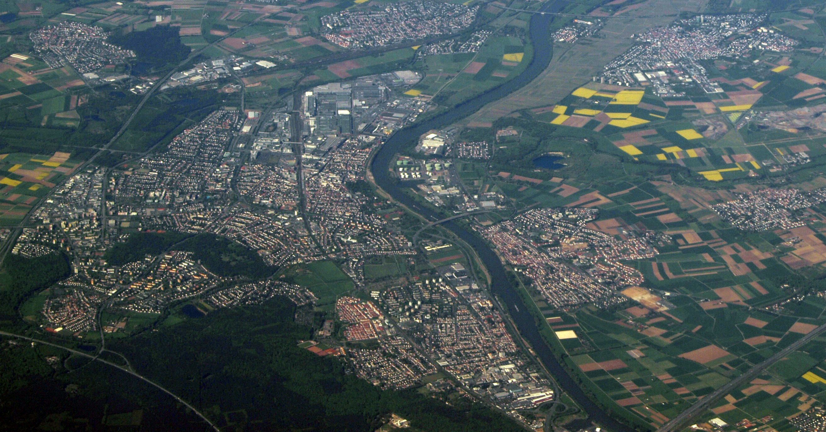
Map of Flughafen
Interactive Map
Area Codes
Percentage Area Codes used by businesses in Flughafen
Postal Codes
Percentage of businesses by Postal Codes in Flughafen
Price Distribution
Business distribution by price for Flughafen
Recent Nearby Earthquakes
Magnitude 3.0 and greater
| Date▼ | Time↕ | Magnitude↕ | Distance↕ | Depth↕ | Location↕ | Link |
|---|---|---|---|---|---|---|
| 5/17/14 | 4:46 PM | 3.6 | 27.1 km | 10,000 m | 2km SE of Pfungstadt, Germany | usgs.gov |
| 2/14/11 | 12:43 PM | 3.9 | 60.4 km | 12,000 m | Germany | usgs.gov |
| 12/23/10 | 1:35 AM | 3.4 | 22.5 km | 9,000 m | Germany | usgs.gov |
| 6/29/10 | 12:42 AM | 3.4 | 16 km | 10,000 m | Germany | usgs.gov |
| 4/11/10 | 11:16 AM | 3.4 | 92.7 km | 5,000 m | Germany | usgs.gov |
| 9/29/08 | 1:36 PM | 3 | 87.9 km | 14,800 m | Germany | usgs.gov |
| 12/13/07 | 2:11 PM | 3 | 47.1 km | 10,000 m | Germany | usgs.gov |
| 11/20/07 | 8:22 AM | 3 | 55.1 km | 10,000 m | Germany | usgs.gov |
| 4/11/07 | 5:01 PM | 3.3 | 88.7 km | 11,500 m | Germany | usgs.gov |
| 11/18/06 | 8:26 AM | 3.1 | 86.4 km | 10,000 m | Germany | usgs.gov |
Source: U.S. Geological Survey (USGS)
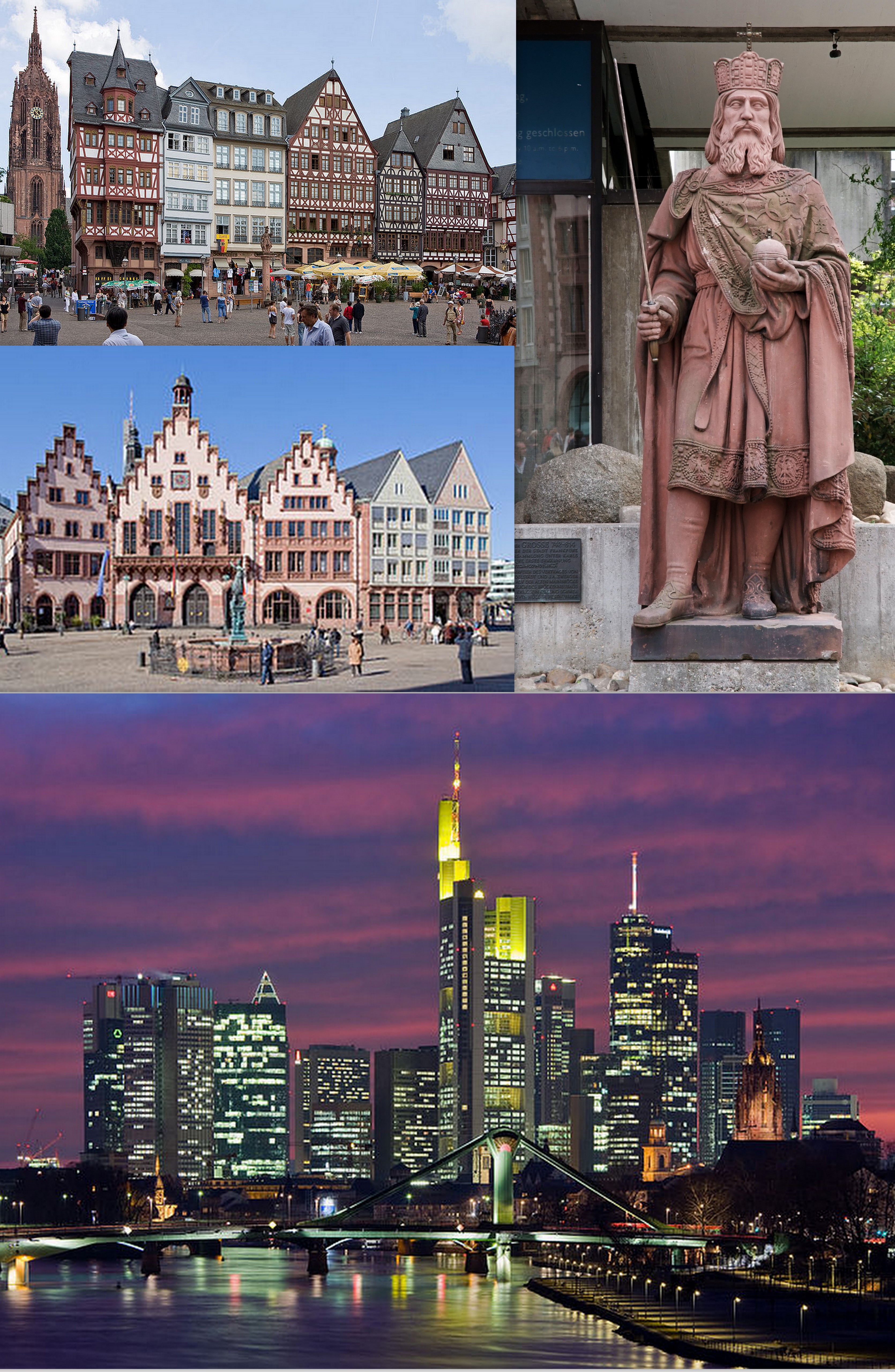
Flughafen
Flughafen (English: Airport) is a city district of Frankfurt am Main, Germany. It is part of the Ortsbezirk Süd and is subdivided into the Stadtbezirke Unterwald and Flughafen. -Flughafen contains the whole airport ground of Frankfurt Airport after w..
Flughafen Wikipedia Page

About Our Data
The data on this page is estimated using a number of publicly available tools and resources. It is provided without warranty, and could contain inaccuracies. Use at your own risk.