Grauingen Facts
| Area Codes | 39059 |
| Local Time | |
| Timezone | Central European Summer Time |
| Lat & Lng | 52.37623, 11.21429 |
Map of Grauingen
Interactive Map
Recent Nearby Earthquakes
Magnitude 3.0 and greater
| Date▼ | Time↕ | Magnitude↕ | Distance↕ | Depth↕ | Location↕ | Link |
|---|---|---|---|---|---|---|
| 2/25/96 | 2:23 PM | 3.1 | 85.8 km | 10,000 m | Germany | usgs.gov |
| 3/30/95 | 3:13 PM | 3 | 98.7 km | 10,000 m | Germany | usgs.gov |
Source: U.S. Geological Survey (USGS)
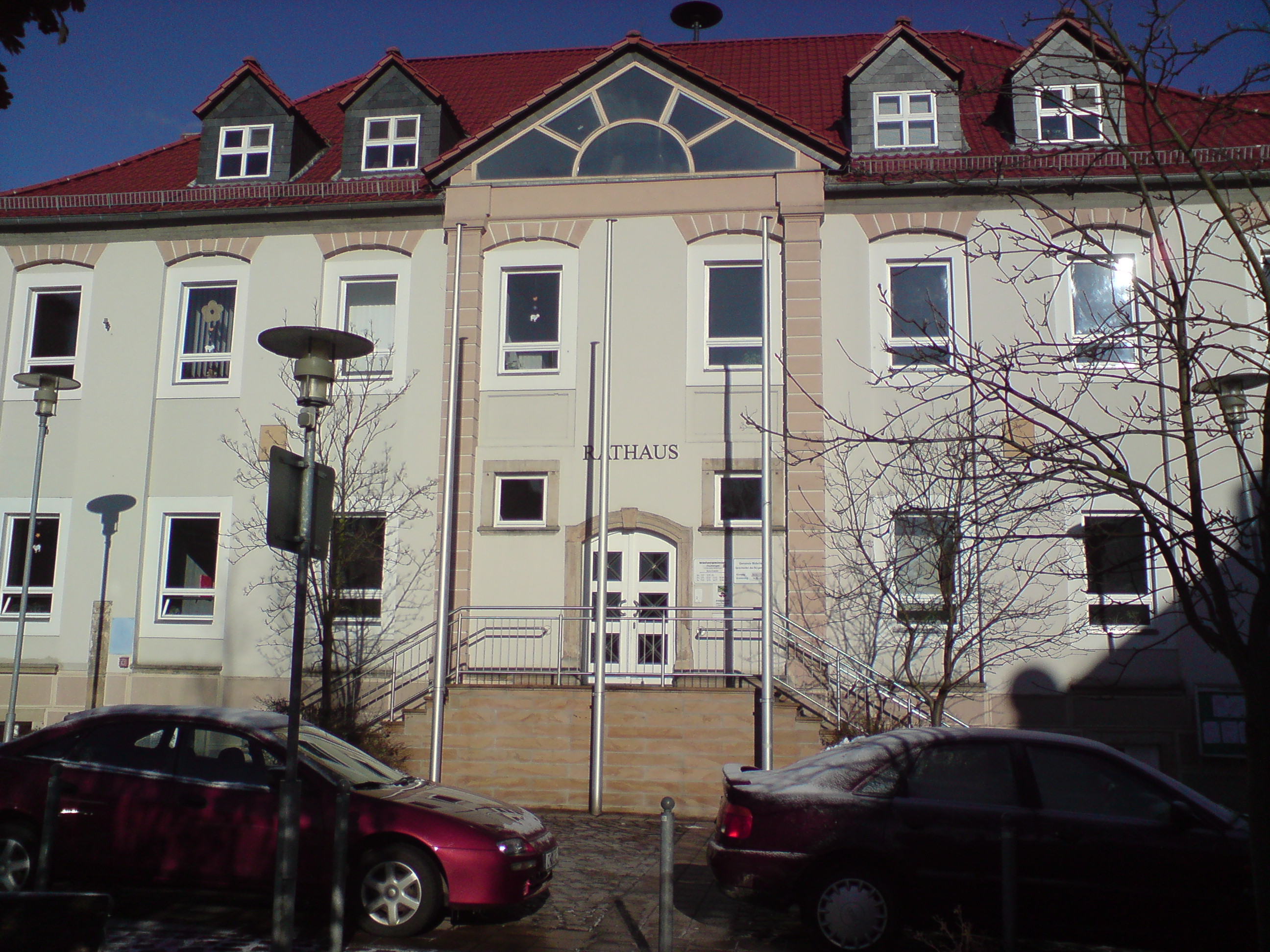
Grauingen
Grauingen is a village and a former municipality in the Börde district in Saxony-Anhalt, Germany. Since 1 January 2010, it is part of the municipality Calvörde.
Grauingen Wikipedia Page

About Our Data
The data on this page is estimated using a number of publicly available tools and resources. It is provided without warranty, and could contain inaccuracies. Use at your own risk.