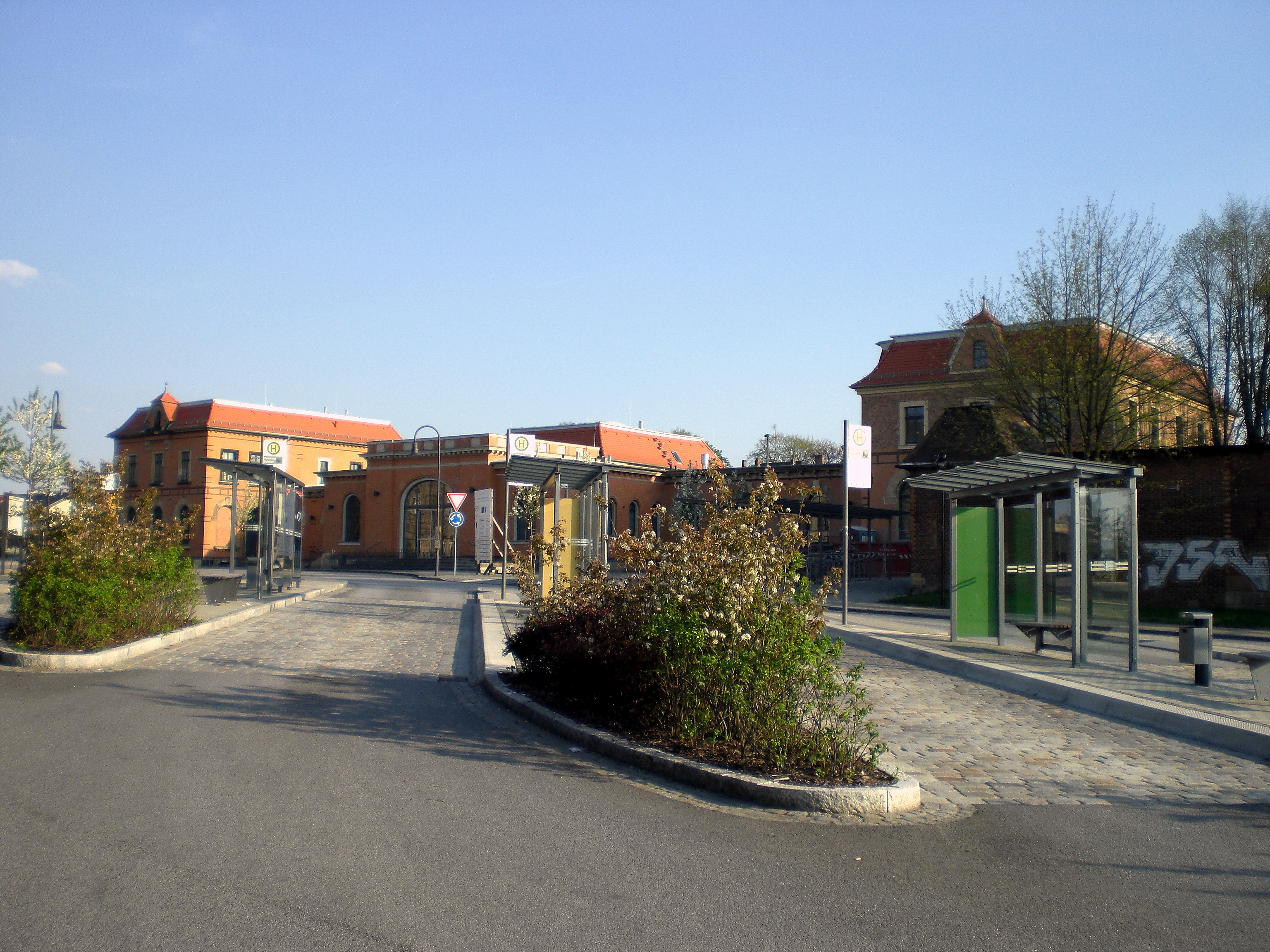
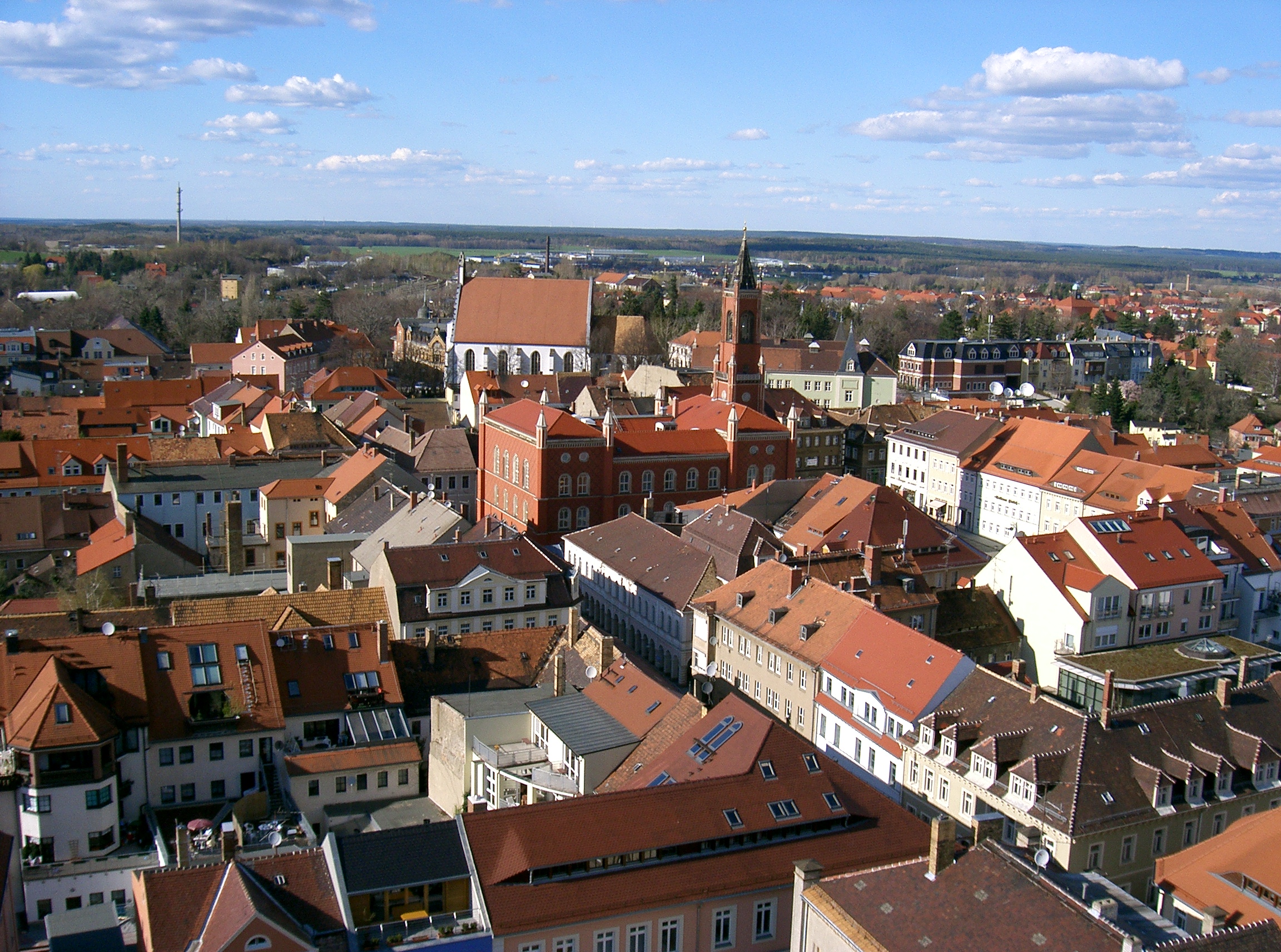
Categories in Rammenau
Rammenau Facts
| Area | 0.8 km² |
| Population | 804 |
| Male Population | 399 (49.6%) |
| Female Population | 405 (50.4%) |
| Population change (1975 to 2020) | -33.3% |
| Population change (2000 to 2020) | -21.6% |
| Median Age | 48.7 years (Male: 46.8, Female: 50.7) |
| Area Codes | 3594, 35955 |
| Neighborhoods | Oberrammenau, Schaudorf |
| Local Time | |
| Timezone | Central European Summer Time |
| Lat & Lng | 51.15000, 14.13333 |
Map of Rammenau
Interactive Map
Rammenau Population
Years 1975 to 2020
| Data | 1975 | 1990 | 2000 | 2015 | 2020 |
|---|---|---|---|---|---|
| Population | 1,205 | 1,037 | 1,026 | 827 | 804 |
| Population Density | 1,606.7 / km² | 1,382.7 / km² | 1,368 / km² | 1,102.7 / km² | 1,072 / km² |
Rammenau Population change from 2000 to 2015
Decrease of 19.4% from year 2000 to 2015
| Location | Change since 1975 | Change since 1990 | Change since 2000 |
|---|---|---|---|
| Rammenau | -31.4% | -20.3% | -19.4% |
| Saxony | -17.5% | -10.8% | -9.2% |
| Germany | +2.6% | +2.2% | -1.5% |
Rammenau Median Age
Median Age: 48.7 years
| Location | Median Age | Median Age (Female) | Median Age (Male) |
|---|---|---|---|
| Rammenau | 48.7 yrs | 50.7 yrs | 46.8 yrs |
| Saxony | 47.7 yrs | 49.8 yrs | 45.7 yrs |
| Germany | 44.8 yrs | 46 yrs | 43.6 yrs |
Rammenau Population Density
Population Density: 1,072 / km²
| Location | Population | Area | Density |
|---|---|---|---|
| Rammenau | 804 | 0.75 km² | 1,072 / km² |
| Saxony | 4 million | 18,455.9 km² | 216 / km² |
| Germany | 80.7 million | 358,179.8 km² | 225 / km² |
Rammenau Historical and Projected Population
Estimated Population from 0 to 2100
- JRC (European Commission's Joint Research Centre) work on the GHS built-up grid
- CIESIN (Center for International Earth Science Information Network)
- [Link] Klein Goldewijk, K., Beusen, A., Doelman, J., and Stehfest, E.: Anthropogenic land use estimates for the Holocene – HYDE 3.2, Earth Syst. Sci. Data, 9, 927–953, https://doi.org/10.5194/essd-9-927-2017, 2017.
Human Development Index (HDI)
Statistic composite index of life expectancy, education, and per capita income.
Rammenau CO2 Emissions
Carbon Dioxide (CO2) Emissions Per Capita in Tonnes Per Year
| Location | CO2 Emissions | CO2 Emissions Per Capita | CO2 Emissions Intensity |
|---|---|---|---|
| Rammenau | 7,605 tn | 9.46 tn | 10,140.2 tons/km² |
| Saxony | 37,445,076 tn | 9.38 tn | 2,028.9 tons/km² |
| Germany | 755,339,039 tn | 9.36 tn | 2,108.8 tons/km² |
| 2013 CO2 emissions (tonnes/year) | 7,605 tn |
| 2013 CO2 emissions (tonnes/year) per capita | 9.46 tn |
| 2013 CO2 emissions intensity (tonnes/km²/year) | 10,140.2 tons/km² |
Natural Hazards Risk
Relative risk out of 10
| Hazard | Risk Level |
|---|---|
| Flood | Medium (7) |
| Earthquake | Low (2) |
* Risk, particularly concerning flood or landslide, may not be for the entire area.
- Dilley, M., R.S. Chen, U. Deichmann, A.L. Lerner-Lam, M. Arnold, J. Agwe, P. Buys, O. Kjekstad, B. Lyon, and G. Yetman. 2005. Natural Disaster Hotspots: A Global Risk Analysis. Washington, D.C.: World Bank. https://doi.org/10.1596/0-8213-5930-4.
- Center for Hazards and Risk Research - CHRR - Columbia University, Center for International Earth Science Information Network - CIESIN - Columbia University. 2005. Global Flood Hazard Frequency and Distribution. Palisades, NY: NASA Socioeconomic Data and Applications Center (SEDAC). https://doi.org/10.7927/H4668B3D.
- Center for Hazards and Risk Research - CHRR - Columbia University, Center for International Earth Science Information Network - CIESIN - Columbia University. 2005. Global Earthquake Hazard Distribution - Peak Ground Acceleration. Palisades, NY: NASA Socioeconomic Data and Applications Center (SEDAC). https://doi.org/10.7927/H4BZ63ZS.
Recent Nearby Earthquakes
Magnitude 3.0 and greater
| Date▼ | Time↕ | Magnitude↕ | Distance↕ | Depth↕ | Location↕ | Link |
|---|---|---|---|---|---|---|
| 8/13/08 | 3:45 AM | 3.1 | 57.9 km | 5,000 m | Germany | usgs.gov |
| 11/15/04 | 9:50 AM | 3.1 | 99.8 km | 5,000 m | Czech Republic | usgs.gov |
| 5/4/00 | 3:23 PM | 3.2 | 74.9 km | 10,000 m | Czech Republic | usgs.gov |
| 8/4/98 | 11:05 AM | 3.2 | 33.6 km | 10,000 m | Germany | usgs.gov |
| 4/13/95 | 8:59 AM | 3.8 | 77 km | 10,000 m | Czech Republic | usgs.gov |
| 10/19/94 | 11:19 AM | 3.7 | 99.3 km | 10,000 m | Poland | usgs.gov |
| 8/5/94 | 4:14 PM | 3.5 | 93.4 km | 10,000 m | Poland | usgs.gov |
| 1/15/94 | 12:03 PM | 3.4 | 82.3 km | 10,000 m | Poland | usgs.gov |
| 1/6/94 | 10:59 AM | 3.6 | 77.9 km | 10,000 m | Poland | usgs.gov |
| 1/5/94 | 11:40 AM | 3.4 | 87 km | 10,000 m | Poland | usgs.gov |
Rammenau
Rammenau (Sorbian: Ramnow) is a municipality in the district of Bautzen, in Saxony, Germany. It is known as the birthplace of the well-known German philosopher Johann Gottlieb Fichte. Castle was built between 1721 and 1735 by architect Johann Christ..
Rammenau Wikipedia Page

About Our Data
The data on this page is estimated using a number of publicly available tools and resources. It is provided without warranty, and could contain inaccuracies. Use at your own risk.