Wadrill Facts
| Local Time | |
| Timezone | Central European Summer Time |
| Lat & Lng | 49.58558, 6.89375 |
Map of Wadrill
Interactive Map
Recent Nearby Earthquakes
Magnitude 3.0 and greater
| Date▼ | Time↕ | Magnitude↕ | Distance↕ | Depth↕ | Location↕ | Link |
|---|---|---|---|---|---|---|
| 2/23/08 | 3:30 PM | 4.5 | 24.9 km | 2,000 m | Germany | usgs.gov |
| 2/18/08 | 1:28 PM | 3.2 | 24.2 km | 1,000 m | Germany | usgs.gov |
| 2/13/08 | 1:56 PM | 3.3 | 23.3 km | 1,000 m | Germany | usgs.gov |
| 2/9/08 | 8:47 PM | 3.5 | 24.7 km | 1,000 m | Germany | usgs.gov |
| 2/4/08 | 12:44 AM | 3.4 | 24.3 km | 1,000 m | Germany | usgs.gov |
| 1/26/08 | 5:44 AM | 3.9 | 24.4 km | 1,000 m | Germany | usgs.gov |
| 1/26/08 | 4:19 AM | 3.8 | 24.1 km | 1,000 m | Germany | usgs.gov |
| 1/16/08 | 10:42 AM | 3.5 | 19.9 km | 1,000 m | Germany | usgs.gov |
| 1/10/08 | 11:17 AM | 3.5 | 24.3 km | 1,000 m | Germany | usgs.gov |
| 1/4/08 | 9:53 AM | 3.5 | 22.5 km | 2,000 m | Germany | usgs.gov |
Source: U.S. Geological Survey (USGS)
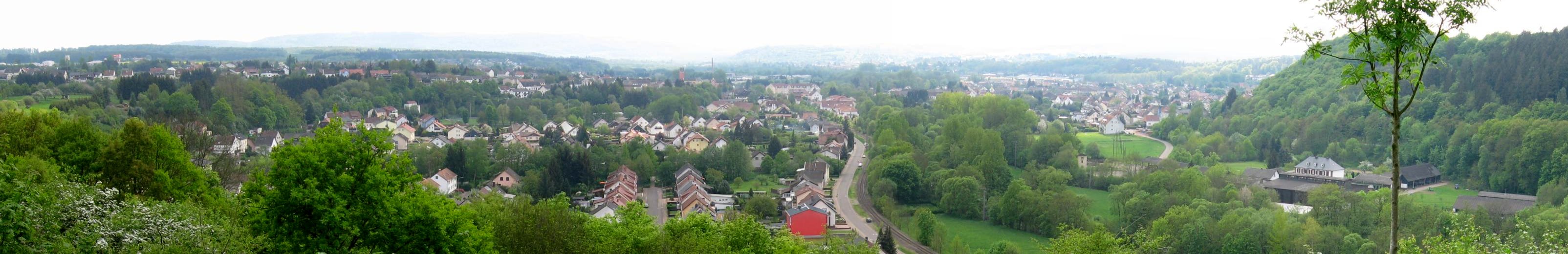
Wadrill
Wadrill is a village in Merzig-Wadern district, Saarland, in the south-west of Germany. It belongs to the municipality of Wadern. It is situated on the small river Wadrill. Wadrill is known for its large forests and for its hiking trails.
Wadrill Wikipedia Page
About Our Data
The data on this page is estimated using a number of publicly available tools and resources. It is provided without warranty, and could contain inaccuracies. Use at your own risk.