Categories in Toftlund
Car repairGas stationNew car dealersTrucks and trailersFarmingManufacture of vehicles and machineryTractors and farm equipmentWholesale of construction suppliesWholesale of food, beverages and tobaccoWholesale of machineryWholesalersClothing storesRetail of textilesAll membership organizationsChurchesOther membership organizationsPolitical organizationsPost officeReligionElectronics storesConstruction of buildingsElectrical installationGeneral contractorsHardware storeKitchen and bath cabinets and remodelOther constructionPainting and paint contractorsPlumbing installation and repairTechnical construction servicesDriving schoolsEducationEducation otherSpecialized designAll food and beverageBars, pubs and tavernsFast food restaurantsGrocery stores and supermarketsPizzaRestaurantsAnimal and pet storesFurniture storesHousehold appliances and goodsLandscapingNurseries and garden suppliesAccountantsAtm'sBanksFinance otherHolding companiesLawyers legalLoan companiesStock brokersAlternative medicineDentistsGeneral practitionersHealth and medicalPhysiotherapyPsychiatrists and psychotherapistsBeauty salonsHairdressersMassageEmployment agenciesGeneral cleaning servicesTemp agenciesFloristsMail order and web storesRetail not in storesSecond hand storesShoppingShopping otherCampgroundsGolf coursesPublic parksSporting goodsSports clubsBuses and trainsFreight/commercial transportHoliday homes, cabins and resortsHotels and motelsMoving companiesOther accommodationOther transport activitiesTransportation logisticsTravel and transportationUnreachable
Industries
Business Distribution by Industry in Toftlund
| Industry Description | Number of Establishments | Average Google Rating |
|---|---|---|
| Shopping | 40 | 4.3 |
| All membership organizations | 21 | 3.7 |
| Landscaping | 18 | 4.5 |
| Other membership organizations | 16 | 4.1 |
| Car repair | 13 | 4.2 |
| Education | 12 | 3.6 |
| Unreachable | 11 | 4 |
| Nurseries and garden supplies | 10 | 4.8 |
| Restaurants | 10 | 4.1 |
| Shopping other | 9 | 4.9 |
| All food and beverage | 9 | 4.3 |
| Freight/commercial transport | 9 | 4.3 |
| Corporate management | 8 | — |
| Wholesale of construction supplies | 8 | 4.2 |
| General contractors | 8 | — |
| New car dealers | 8 | 4.6 |
| Grocery stores and supermarkets | 8 | 4.2 |
| Construction of buildings | 7 | 4.4 |
| Kitchen and bath cabinets and remodel | 6 | 5 |
| Automotive | 6 | 3.9 |
| Beauty salons | 6 | 4.6 |
| Wholesale of machinery | 6 | 4.6 |
| Post office | 6 | 4.6 |
Toftlund Facts
| Area | 3.6 km² |
| Population | 2,726 |
| Male Population | 1,348 (49.4%) |
| Female Population | 1,378 (50.6%) |
| Population change (1975 to 2020) | -34.7% |
| Population change (2000 to 2020) | -13.8% |
| Median Age | 45.1 years (Male: 43.4, Female: 46.8) |
| Neighborhoods | Aarhus C, Branderup J |
| Local Time | |
| Timezone | Central European Summer Time |
| Lat & Lng | 55.18858, 9.06925 |
| Postal Codes | 6520 |
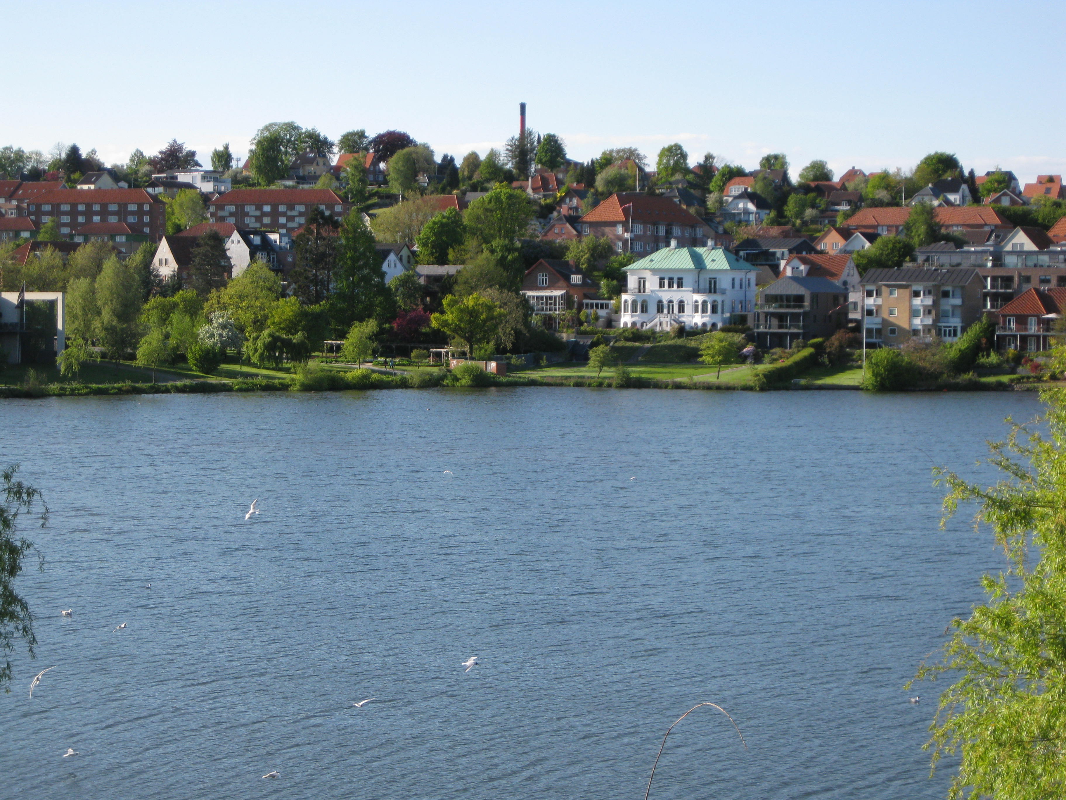
Map of Toftlund
Interactive Map
Toftlund Population
Years 1975 to 2020
| Data | 1975 | 1990 | 2000 | 2015 | 2020 |
|---|---|---|---|---|---|
| Population | 4,175 | 3,571 | 3,162 | 2,705 | 2,726 |
| Population Density | 1,151.7 / km² | 985.1 / km² | 872.3 / km² | 746.2 / km² | 752 / km² |
Sources: JRC (European Commission's Joint Research Centre) work on the GHS built-up grid
Toftlund Population change from 2000 to 2015
Decrease of 14.5% from year 2000 to 2015
| Location | Change since 1975 | Change since 1990 | Change since 2000 |
|---|---|---|---|
| Toftlund | -35.2% | -24.3% | -14.5% |
| Region of Southern Denmark | +4.3% | +4.1% | +2.2% |
| Denmark | +12.1% | +10.4% | +6.3% |
Sources: JRC (European Commission's Joint Research Centre) work on the GHS built-up grid
Toftlund Median Age
Median Age: 45.1 years
| Location | Median Age | Median Age (Female) | Median Age (Male) |
|---|---|---|---|
| Toftlund | 45.1 yrs | 46.8 yrs | 43.4 yrs |
| Region of Southern Denmark | 41.6 yrs | 42.4 yrs | 40.8 yrs |
| Denmark | 40.5 yrs | 41.3 yrs | 39.6 yrs |
Sources: CIESIN (Center for International Earth Science Information Network)
Toftlund Population Density
Population Density: 752 / km²
| Location | Population | Area | Density |
|---|---|---|---|
| Toftlund | 2,726 | 3.625 km² | 752 / km² |
| Region of Southern Denmark | 1.2 million | 12,185.6 km² | 97.6 / km² |
| Denmark | 5.5 million | 43,072 km² | 129 / km² |
Sources: JRC (European Commission's Joint Research Centre) work on the GHS built-up grid
Toftlund Historical and Projected Population
Estimated Population from 0 to 2100
Sources:
- JRC (European Commission's Joint Research Centre) work on the GHS built-up grid
- CIESIN (Center for International Earth Science Information Network)
- [Link] Klein Goldewijk, K., Beusen, A., Doelman, J., and Stehfest, E.: Anthropogenic land use estimates for the Holocene – HYDE 3.2, Earth Syst. Sci. Data, 9, 927–953, https://doi.org/10.5194/essd-9-927-2017, 2017.
Human Development Index (HDI)
Statistic composite index of life expectancy, education, and per capita income.
Source: [Link] Kummu, M., Taka, M. &Guillaume, J. Gridded global datasets for Gross Domestic Product and Human Development Index over 1990–2015. Sci Data 5, 180004 (2018) doi:10.1038/sdata.2018.4
Toftlund CO2 Emissions
Carbon Dioxide (CO2) Emissions Per Capita in Tonnes Per Year
| Location | CO2 Emissions | CO2 Emissions Per Capita | CO2 Emissions Intensity |
|---|---|---|---|
| Toftlund | 30,768 tn | 11.29 tn | 8,487.6 tons/km² |
| Region of Southern Denmark | 13,078,559 tn | 11 tn | 1,073.3 tons/km² |
| Denmark | 59,647,725 tn | 10.75 tn | 1,384.8 tons/km² |
Sources: [Link] Moran, D., Kanemoto K; Jiborn, M., Wood, R., Többen, J., and Seto, K.C. (2018) Carbon footprints of 13,000 cities. Environmental Research Letters DOI: 10.1088/1748-9326/aac72a
Toftlund CO2 Emissions
| 2013 CO2 emissions (tonnes/year) | 30,768 tn |
| 2013 CO2 emissions (tonnes/year) per capita | 11.29 tn |
| 2013 CO2 emissions intensity (tonnes/km²/year) | 8,487.6 tons/km² |
Natural Hazards Risk
Relative risk out of 10
| Hazard | Risk Level |
|---|---|
| Drought | Low (2) |
* Risk, particularly concerning flood or landslide, may not be for the entire area.
Sources:
- Dilley, M., R.S. Chen, U. Deichmann, A.L. Lerner-Lam, M. Arnold, J. Agwe, P. Buys, O. Kjekstad, B. Lyon, and G. Yetman. 2005. Natural Disaster Hotspots: A Global Risk Analysis. Washington, D.C.: World Bank. https://doi.org/10.1596/0-8213-5930-4.
- Center for Hazards and Risk Research - CHRR - Columbia University, Center for International Earth Science Information Network - CIESIN - Columbia University, and International Research Institute for Climate and Society - IRI - Columbia University. 2005. Global Drought Hazard Frequency and Distribution. Palisades, NY: NASA Socioeconomic Data and Applications Center (SEDAC). https://doi.org/10.7927/H4VX0DFT.


About Our Data
The data on this page is estimated using a number of publicly available tools and resources. It is provided without warranty, and could contain inaccuracies. Use at your own risk.