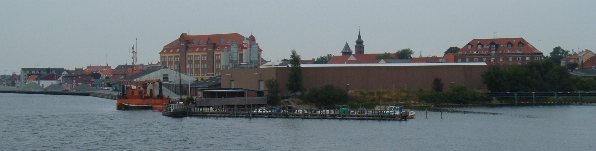
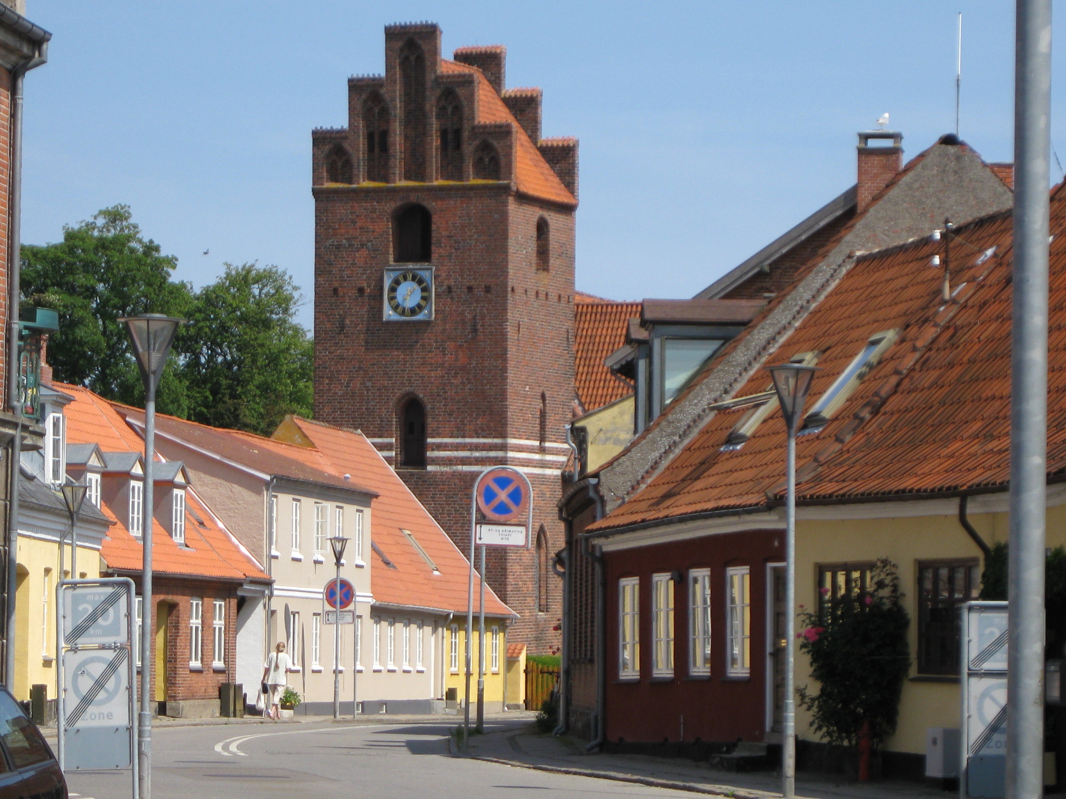
Categories in Vordingborg
Car & Light Vehicle DealershipsCar Repair and MaintenanceMechanicMachines WholesaleClothing storesShoe storesWomen's clothingAssociation or OrganizationCultural AssociationHomeowners' AssociationHuman Rights AssociationPolitical PartyProfessional and Hobby AssociationsComputer ConsultantElectronics StoreSoftware ConsultantArchitectsBricklayerCarpenterElectrical Installation ServiceEngineering Consultancy OfficeFlooring ServicesGeneral contractorsMasonry ContractorPaintingPainting and paint contractorsPlumbing installation and repairAdult Educational AssociationEducationPublic Elementary SchoolGraphic DesignerCafesFast food restaurantsPizzaRestaurantsLandscaperBanksHolding CompanyLeasing ServiceTrusts and fundsDentistsOpticians and eyewearPhysiotherapyPsychologistBeauty salonsHairdresserHair SalonMassageAdvertising ServiceBusiness Management ConsultantCleaning ServiceCommercial Cleaning ServicesLabor UnionManagement Consultant FirmProfessional membership organizationsSpecialized cleaning servicesTranslation services and interpretersWindow Cleaning ServiceHousing CooperativeNon Residential Leasing AgencyProperty and Estate ManagementReal Estate AgencyResidential Property RentalsInternet ShopSupermarketWholesale storeSporting Goods StoreSports AssociationSports clubBus StopFreight/commercial transportHousing AuthorityTravel AgencyTrucking Company
Industries
Business Distribution by Industry in Vordingborg
| Industry Description | Number of Establishments | Average Age of Business |
|---|---|---|
| Shopping other | 156 | 25 years |
| Shopping | 64 | 25 years |
| Health and medical | 60 | — |
| Technical construction services | 50 | 27 years |
| Travel and transportation | 44 | — |
| Other membership organizations | 43 | 22 years |
| Restaurants | 41 | 20 years |
| Clothing stores | 40 | 21 years |
| Corporate management | 40 | 26 years |
| Other construction | 35 | — |
Vordingborg Facts
| Area | 6.4 km² |
| Population | 7,904 |
| Male Population | 3,750 (47.5%) |
| Female Population | 4,154 (52.5%) |
| Population change (1975 to 2020) | +27.2% |
| Population change (2000 to 2020) | +6.8% |
| Median Age | 45.5 years (Male: 43.9, Female: 47) |
| Local Time | |
| Timezone | Central European Summer Time |
| Lat & Lng | 54.98333, 11.90000 |
| Postal Codes | 4760 |
Map of Vordingborg
Interactive Map
Vordingborg Population
Years 1975 to 2020
| Data | 1975 | 1990 | 2000 | 2015 | 2020 |
|---|---|---|---|---|---|
| Population | 6,214 | 7,064 | 7,399 | 7,772 | 7,904 |
| Population Density | 974.7 / km² | 1,108.1 / km² | 1,160.6 / km² | 1,219.1 / km² | 1,239.8 / km² |
Sources: JRC (European Commission's Joint Research Centre) work on the GHS built-up grid
Vordingborg Population change from 2000 to 2015
Increase of 5% from year 2000 to 2015
| Location | Change since 1975 | Change since 1990 | Change since 2000 |
|---|---|---|---|
| Vordingborg | +25.1% | +10% | +5% |
| Region Zealand | +2.2% | +1.7% | +0.6% |
| Denmark | +12.1% | +10.4% | +6.3% |
Sources: JRC (European Commission's Joint Research Centre) work on the GHS built-up grid
Vordingborg Median Age
Median Age: 45.5 years
| Location | Median Age | Median Age (Female) | Median Age (Male) |
|---|---|---|---|
| Vordingborg | 45.5 yrs | 47 yrs | 43.9 yrs |
| Region Zealand | 42.9 yrs | 43.7 yrs | 42.2 yrs |
| Denmark | 40.5 yrs | 41.3 yrs | 39.6 yrs |
Sources: CIESIN (Center for International Earth Science Information Network)
Vordingborg Population Density
Population Density: 1,240 / km²
| Location | Population | Area | Density |
|---|---|---|---|
| Vordingborg | 7,904 | 6.4 km² | 1,240 / km² |
| Region Zealand | 802,458 | 7,343.5 km² | 109 / km² |
| Denmark | 5.5 million | 43,072 km² | 129 / km² |
Sources: JRC (European Commission's Joint Research Centre) work on the GHS built-up grid
Vordingborg Historical and Projected Population
Estimated Population from 0 to 2100
Sources:
- JRC (European Commission's Joint Research Centre) work on the GHS built-up grid
- CIESIN (Center for International Earth Science Information Network)
- [Link] Klein Goldewijk, K., Beusen, A., Doelman, J., and Stehfest, E.: Anthropogenic land use estimates for the Holocene – HYDE 3.2, Earth Syst. Sci. Data, 9, 927–953, https://doi.org/10.5194/essd-9-927-2017, 2017.
Price Distribution
Business distribution by price for Vordingborg
Human Development Index (HDI)
Statistic composite index of life expectancy, education, and per capita income.
Source: [Link] Kummu, M., Taka, M. &Guillaume, J. Gridded global datasets for Gross Domestic Product and Human Development Index over 1990–2015. Sci Data 5, 180004 (2018) doi:10.1038/sdata.2018.4
Vordingborg CO2 Emissions
Carbon Dioxide (CO2) Emissions Per Capita in Tonnes Per Year
| Location | CO2 Emissions | CO2 Emissions Per Capita | CO2 Emissions Intensity |
|---|---|---|---|
| Vordingborg | 75,171 tn | 9.51 tn | 11,791.5 tons/km² |
| Region Zealand | 8,459,301 tn | 10.54 tn | 1,151.9 tons/km² |
| Denmark | 59,647,725 tn | 10.75 tn | 1,384.8 tons/km² |
Sources: [Link] Moran, D., Kanemoto K; Jiborn, M., Wood, R., Többen, J., and Seto, K.C. (2018) Carbon footprints of 13,000 cities. Environmental Research Letters DOI: 10.1088/1748-9326/aac72a
Vordingborg CO2 Emissions
| 2013 CO2 emissions (tonnes/year) | 75,171 tn |
| 2013 CO2 emissions (tonnes/year) per capita | 9.51 tn |
| 2013 CO2 emissions intensity (tonnes/km²/year) | 11,791.5 tons/km² |

About Our Data
The data on this page is estimated using a number of publicly available tools and resources. It is provided without warranty, and could contain inaccuracies. Use at your own risk.